Some places are addictive. Nisyros is one of them.
My wife and I visited the island first on a day trip by high speed cat from nearby Tilos in 2001. Along with the herd we took the bus to The Volcano, grinding its way up laboriously before eliciting an involuntary ‘Wow! from everyone as it reached the top of the climb and suddenly the 3-kilometre-long caldera came into view far below, the crater hazy in the distance. Then the long zigzag descent and a race across the caldera floor to the taverna at the lip of the largest of the active craters, Alexandros.
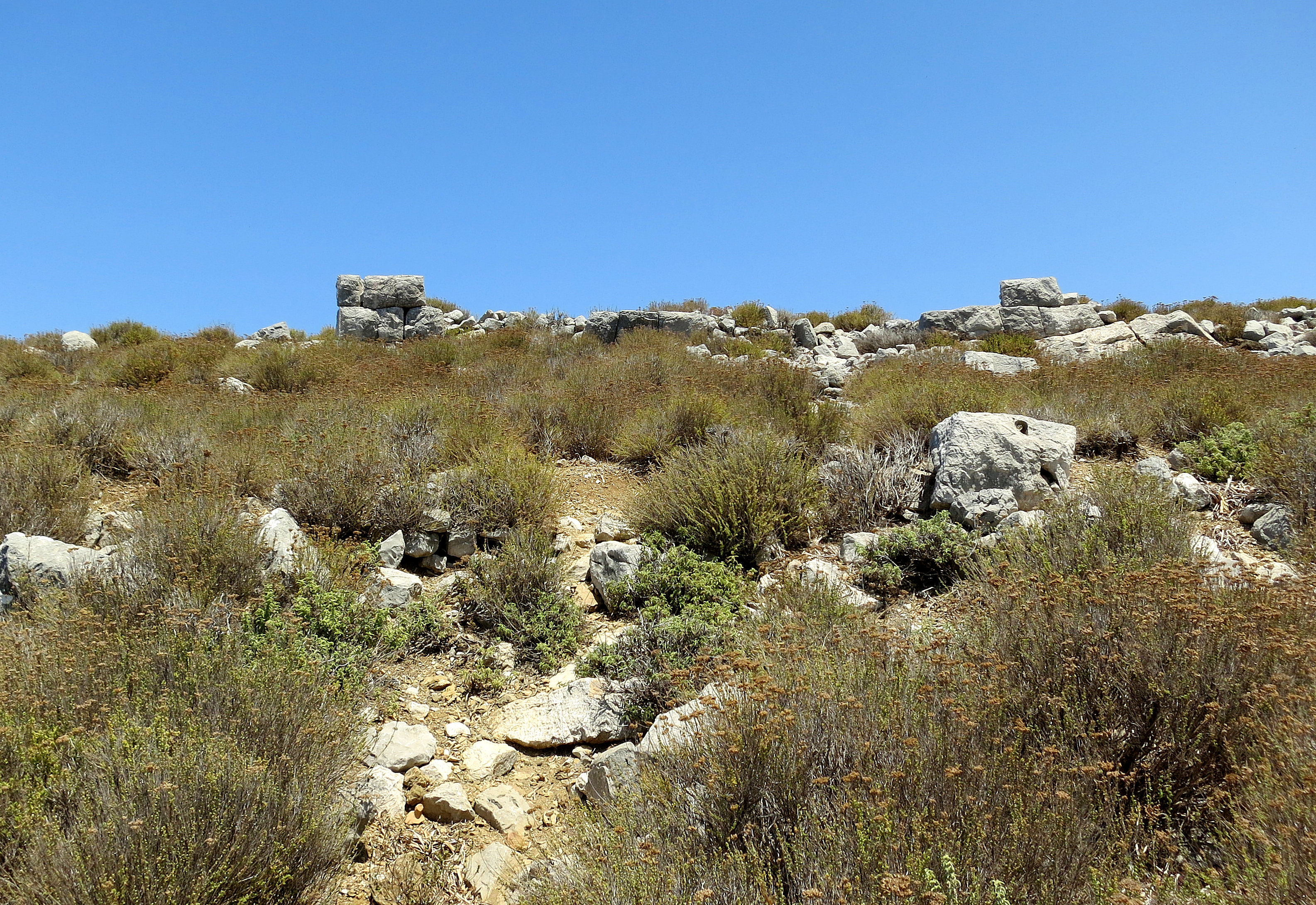
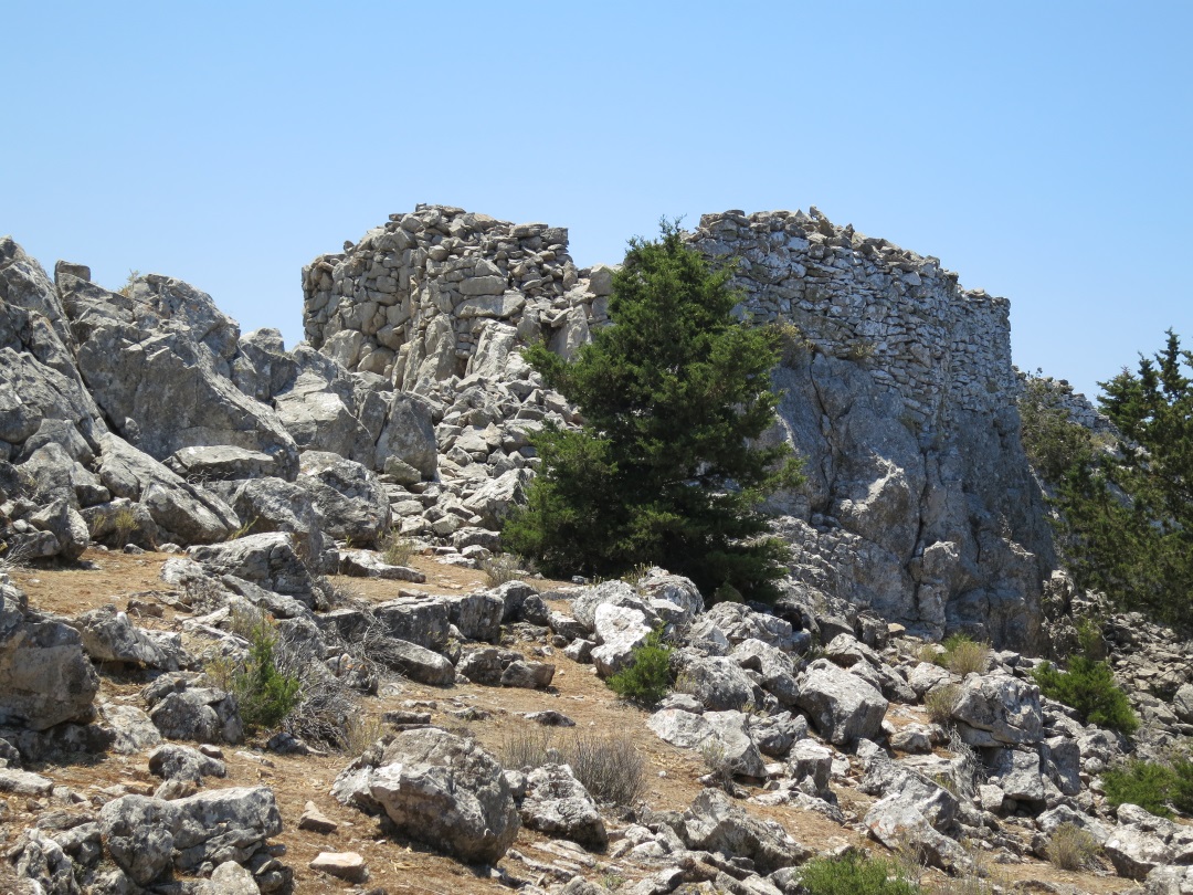
Only an hour to soak it all in and expend two rolls of 36-exposure Ektachrome film before the return to the harbour, let loose on the town to spend our hard earned in shops, tavernas and restaurants. Which we didn’t. Instead we ambled upwards out of the town and somehow found ourselves at the Paleocastro, by far the most dramatic castle/fortress I’ve been to bar none, including all the Welsh castles, French chateaux and the much vaunted Mycenae. Another roll of film.
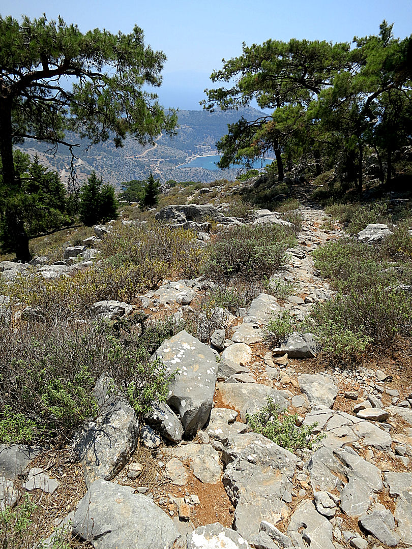
We were hooked. Every year after that we stayed longer, explored on foot using a very good diagrammatic map, finding more amazing sights each visit. When I had to travel on my own, starting in 2010, I stayed a month at a time and continued to find places and land-forms I had never seen before. Until last year when I didn’t make it back, spending all my time exploring off-piste Symi with brief visits to Kalymnos and Tilos.
Like any addict deprived of a fix I have been suffering withdrawal symptoms. So since I arrived on the island a few days ago I have been pushing the limits of my fading acclimatisation to the heat and loss of fitness after a few weeks in Grey Britain. Arguably I pushed myself harder than I should. Like when I was approaching 30 and rushing around climbing mountains which I was convinced I would never climb again because I would be past it. But this time it was just trying to sate my addiction for the place, soak it in, osmosis.
The treks were familiar but as freshly and powerfully evocative as the first time.
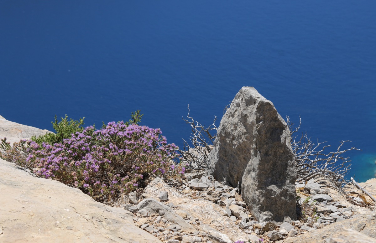
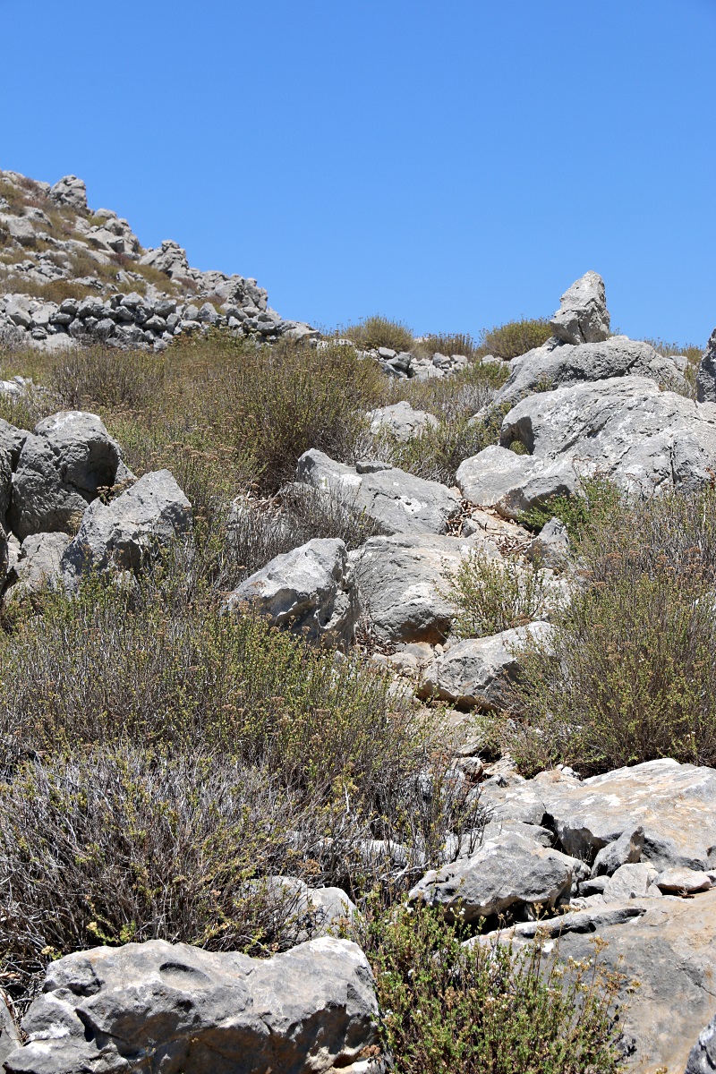
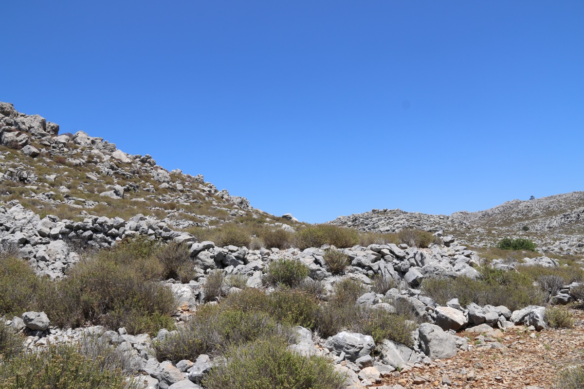
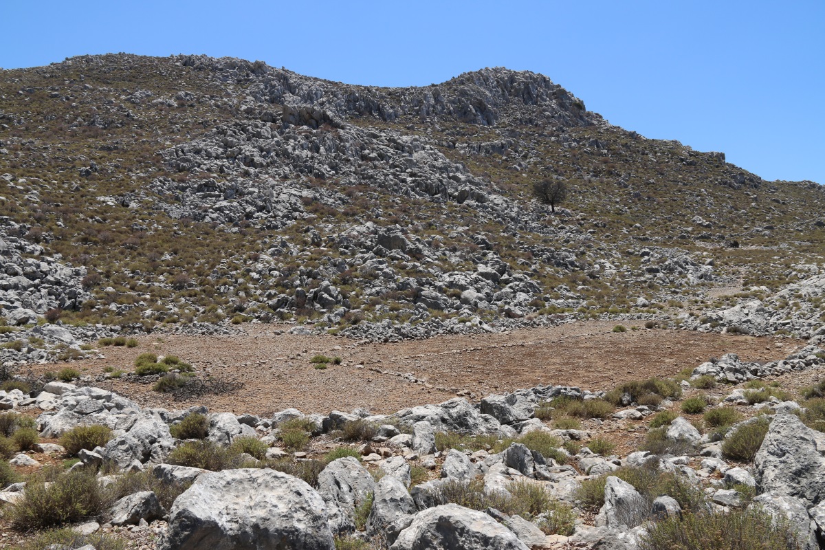
Like north Cornwall and the Dingle Peninsula, the landscape, the ground whispers the past. I try to listen but can’t make much out. Unremitting toil, struggle, survival decided by climate and volcanic eruptions, forces of nature, things beyond control. I have to keep revisiting, hoping I will make out a little more each time.
I get the feeling that there is more respect for the past on Nisyros than some other islands. The Paleocastro has been further excavated and partly restored. Old rural buildings are being renovated. Terraced fields are being brought back into cultivation. Kalderimia and footpaths are being cleared and repaired.
I’m here for 3 weeks before moving on to Kalymnos. For now just a few images as a taster.

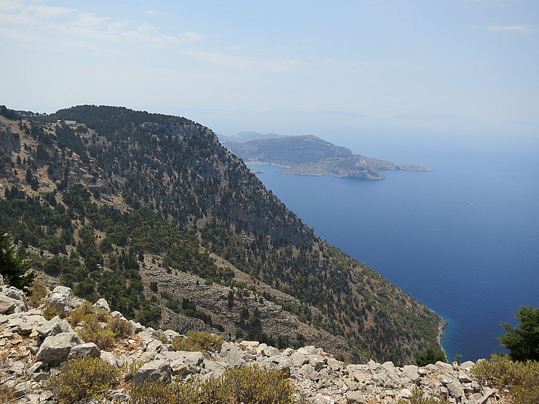
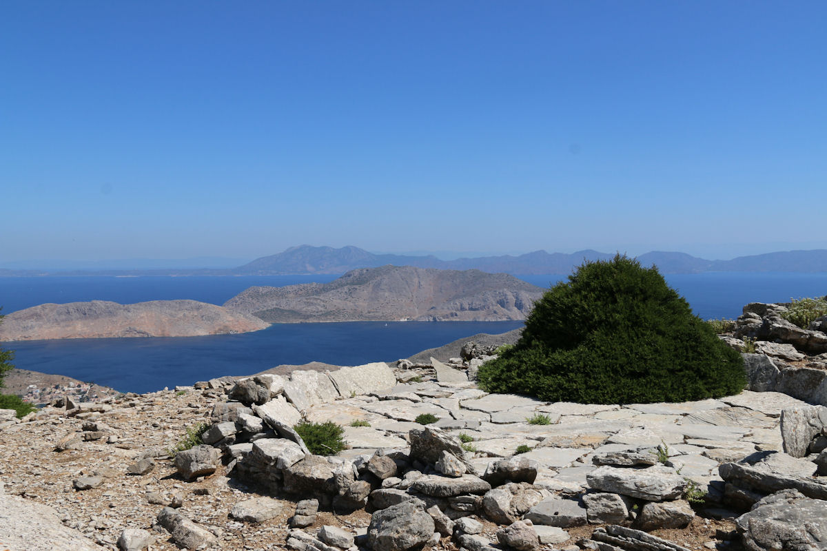
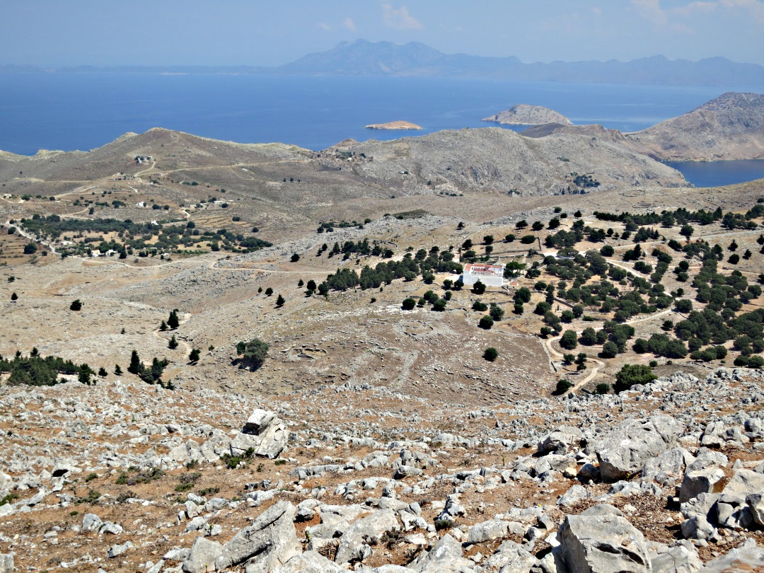
Looking along the length of the caldera from the entrance to the castle and monastery at Emborios.
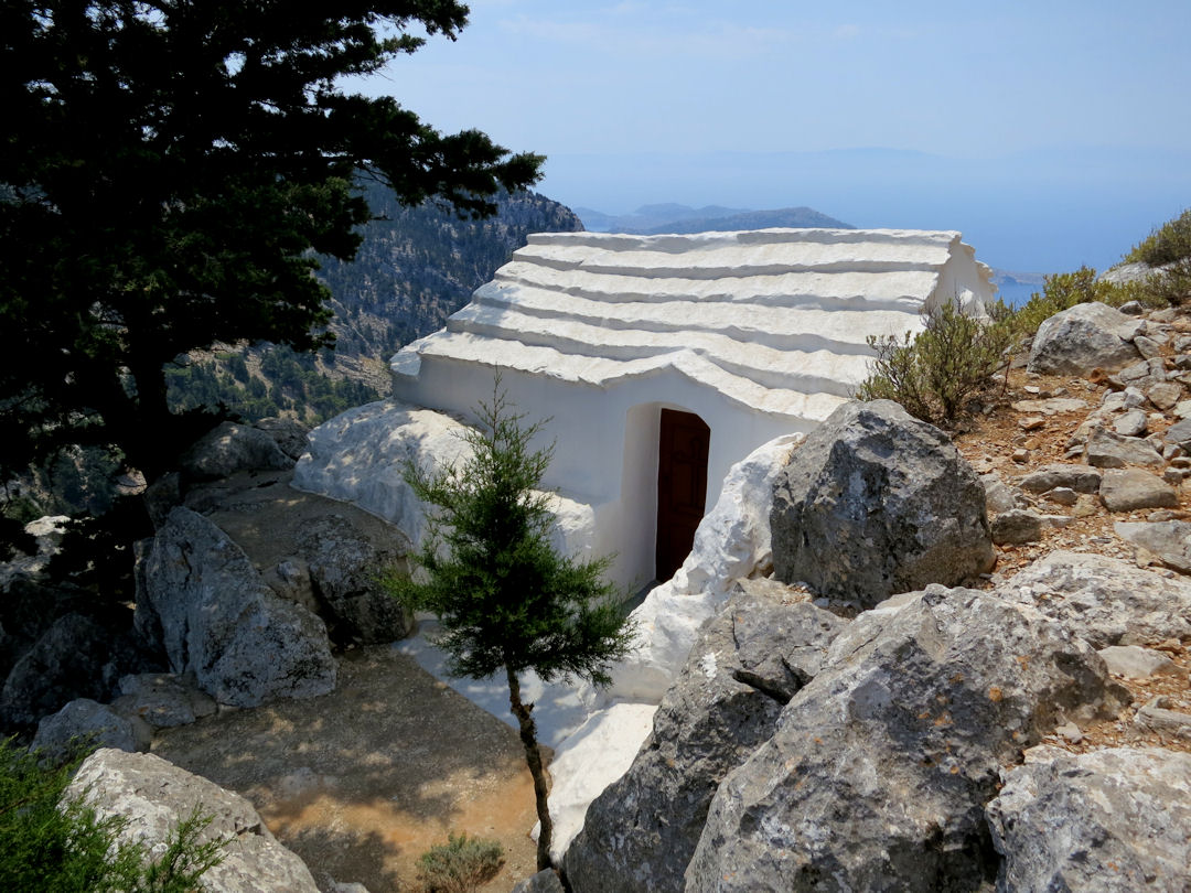
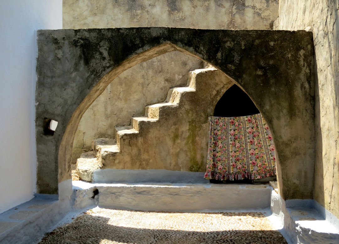
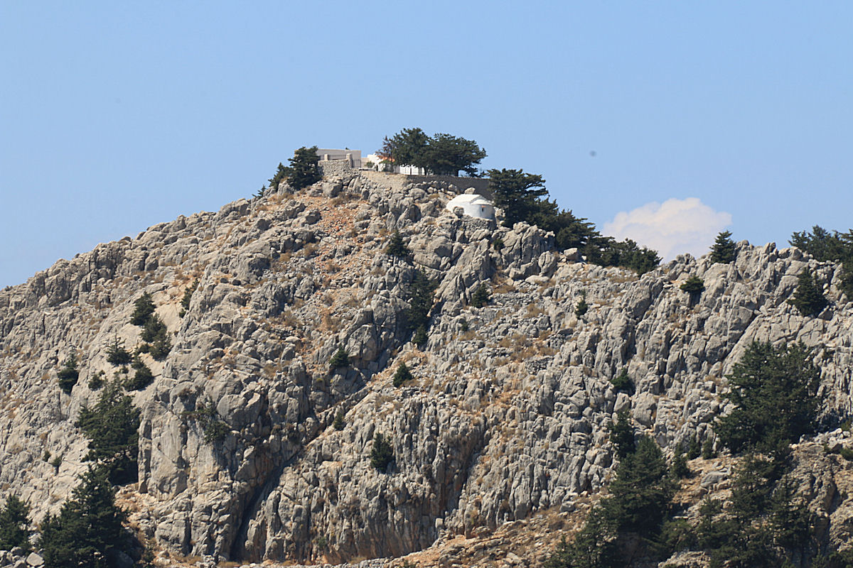
Turning round and looking the other way. Entrances to mountain chapels in Greece are often painted white. Two years ago I thought the castle was being renovated but it seems like it’s a house for someone with a lot of money

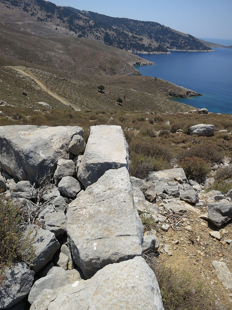
Part of the old castle which seems to have been cleared of rubble … presumably as a source of stone for the house

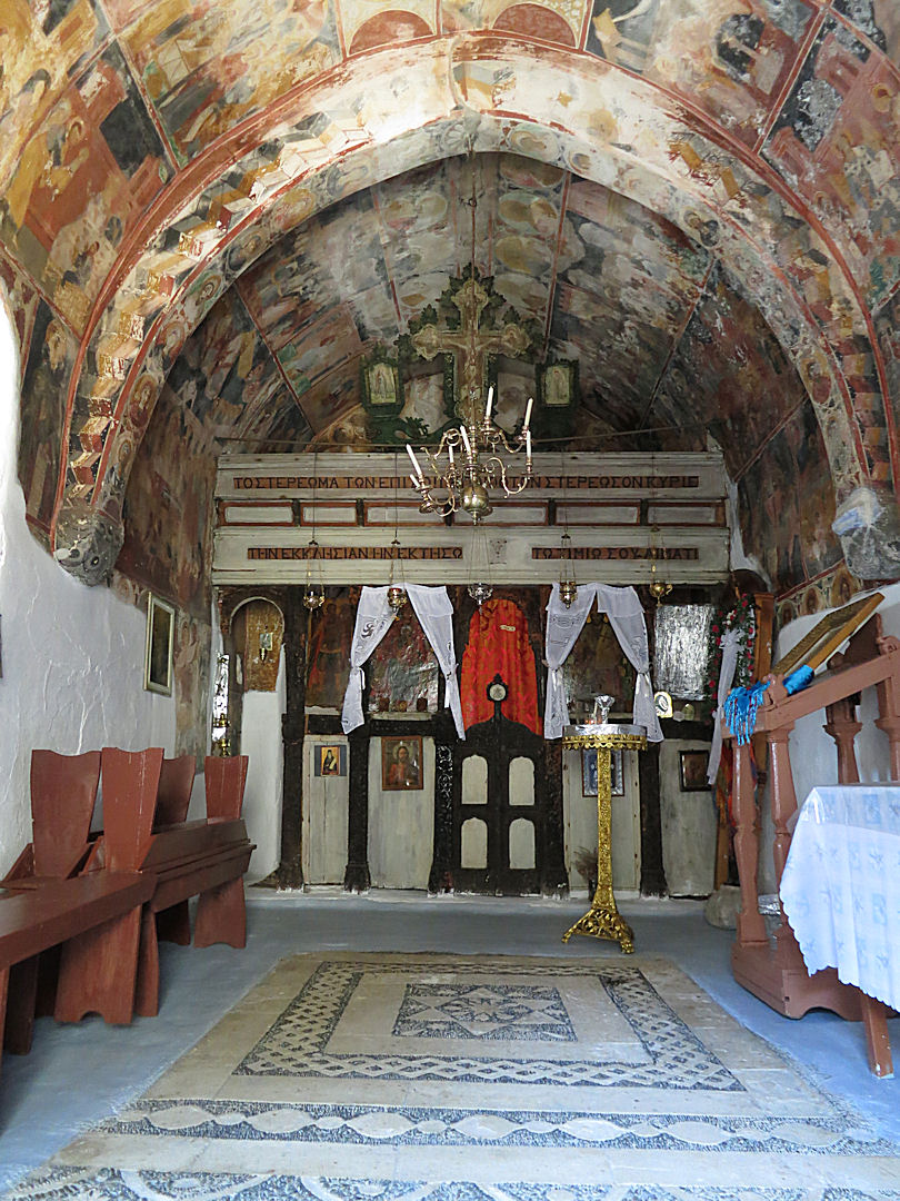
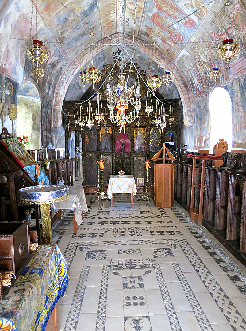
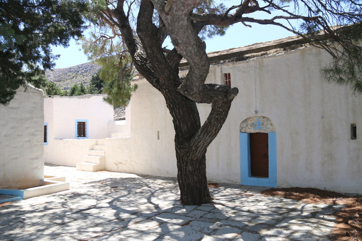
The monastery at the highest point, with spiral stairs and hochlakos (pebble mosaic) pattern in the courtyard

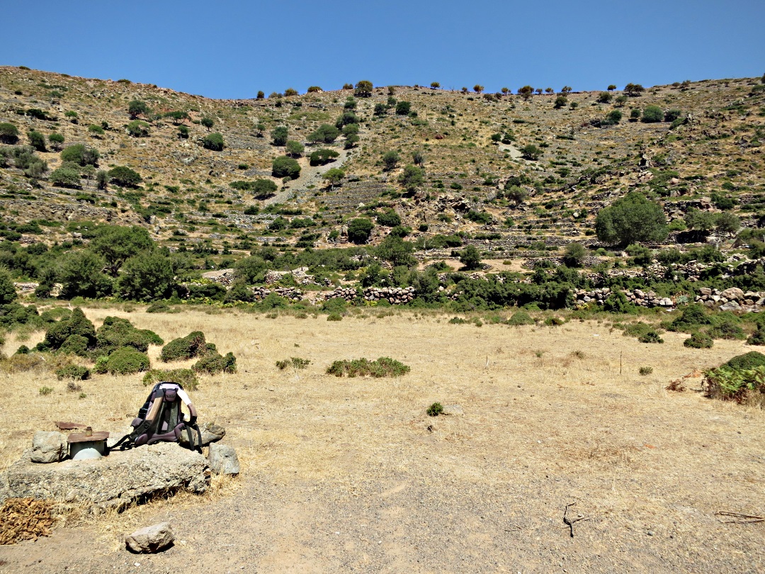
The stupendous 60-foot high lava bubble alongside the path, scale shown by my rucksack in the bottom right corner. (click on the image to enlarge). Another high above. Taking this shot spilled some claret!
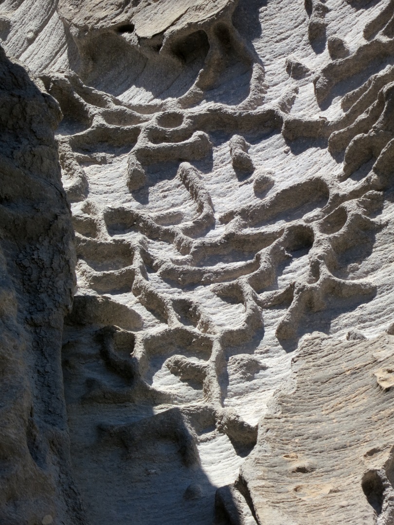
A small portion of the inside of the lava bubble
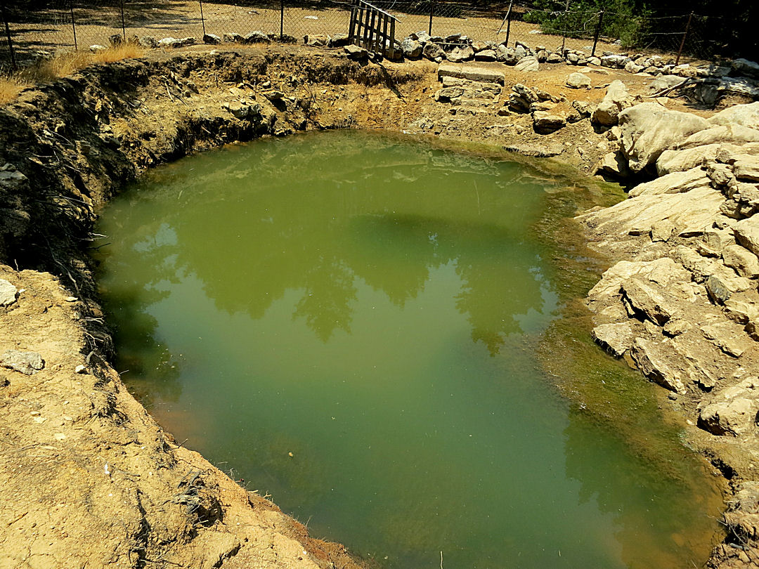
High in the col between two caldera, the top of a cistern covered by a stone and a small basin carved out of rock People lived here.
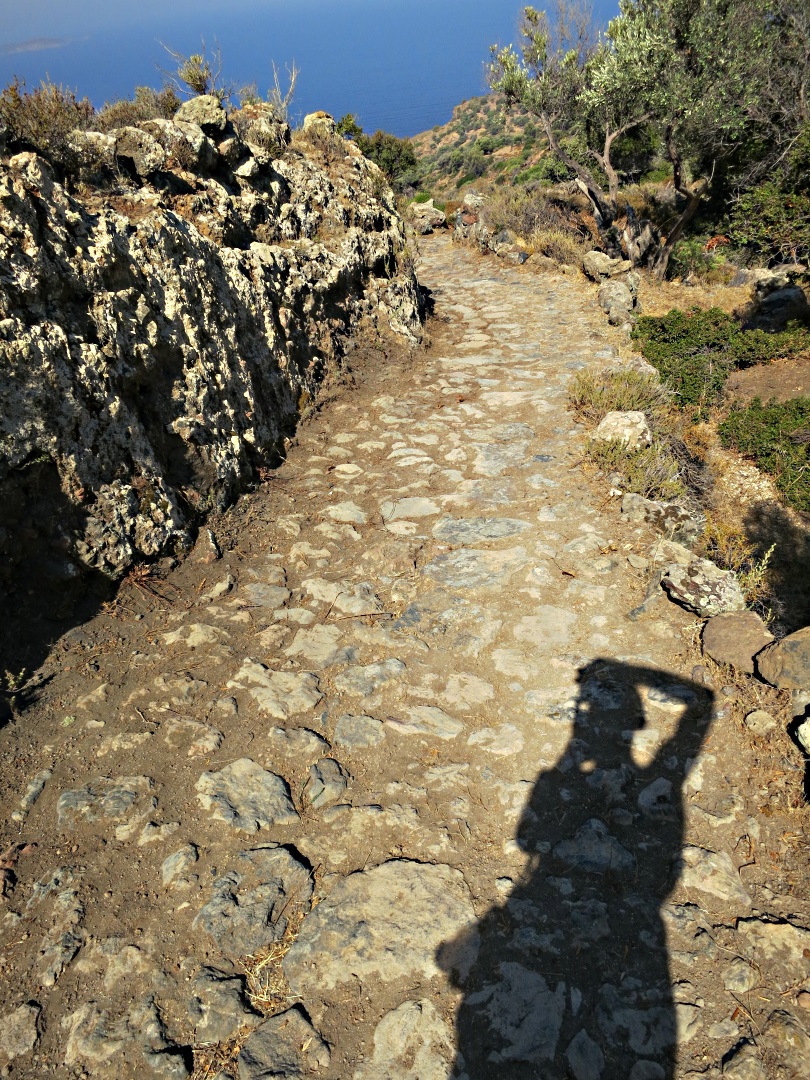
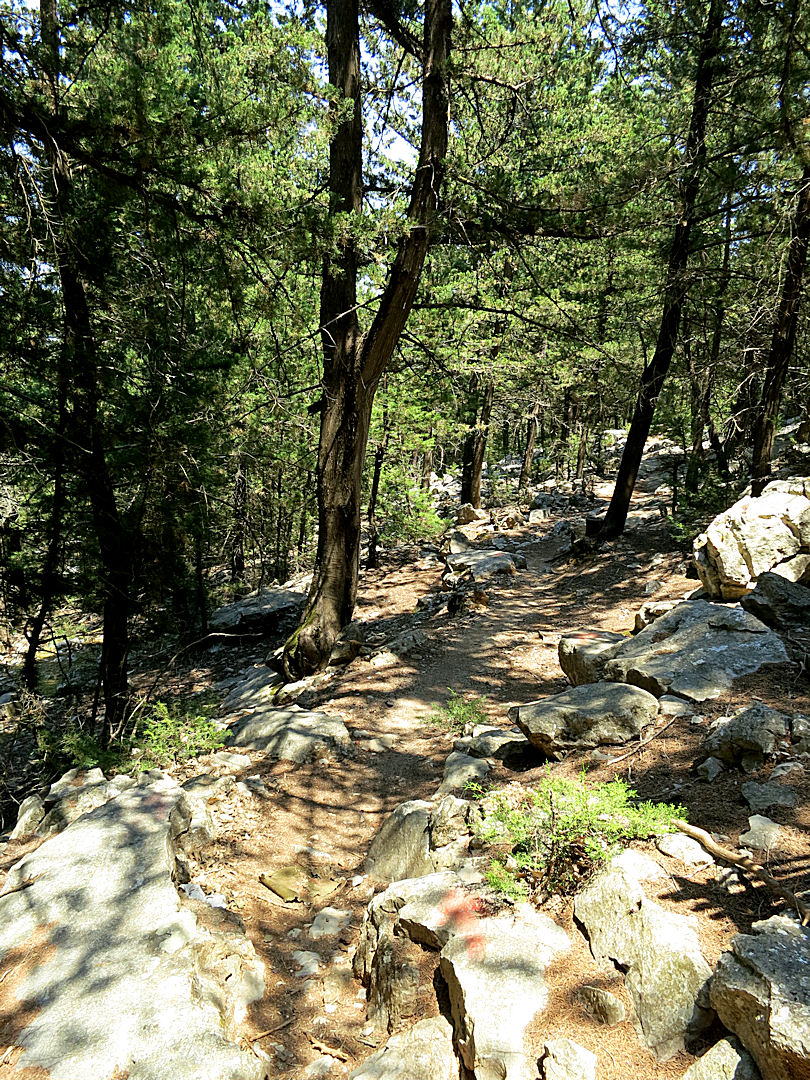
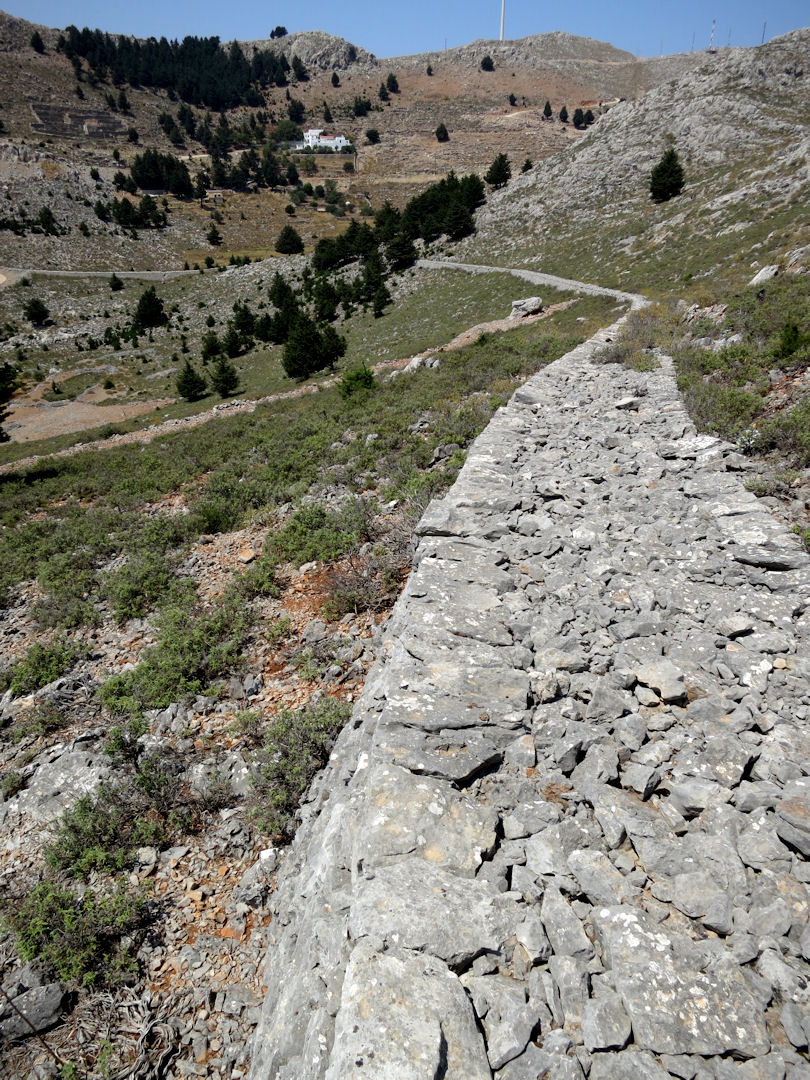
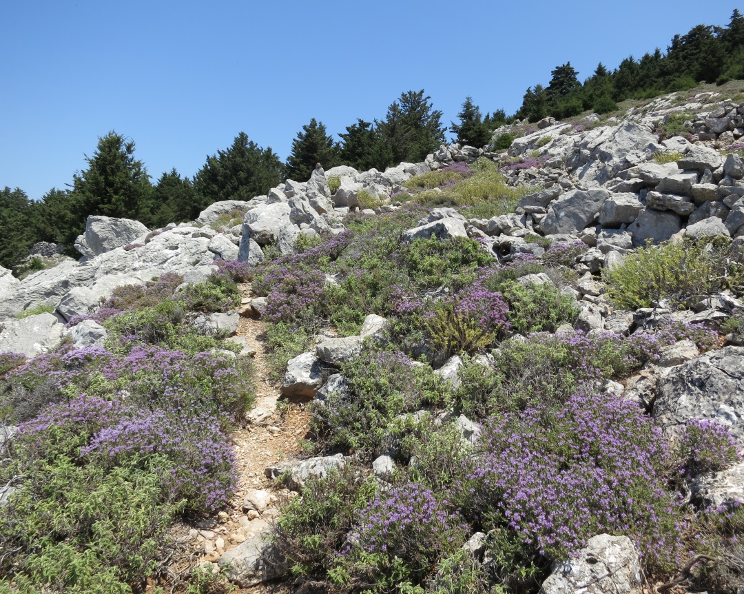
Photographer with an example of well preserved and recently maintained paved kalderimi (mule track)

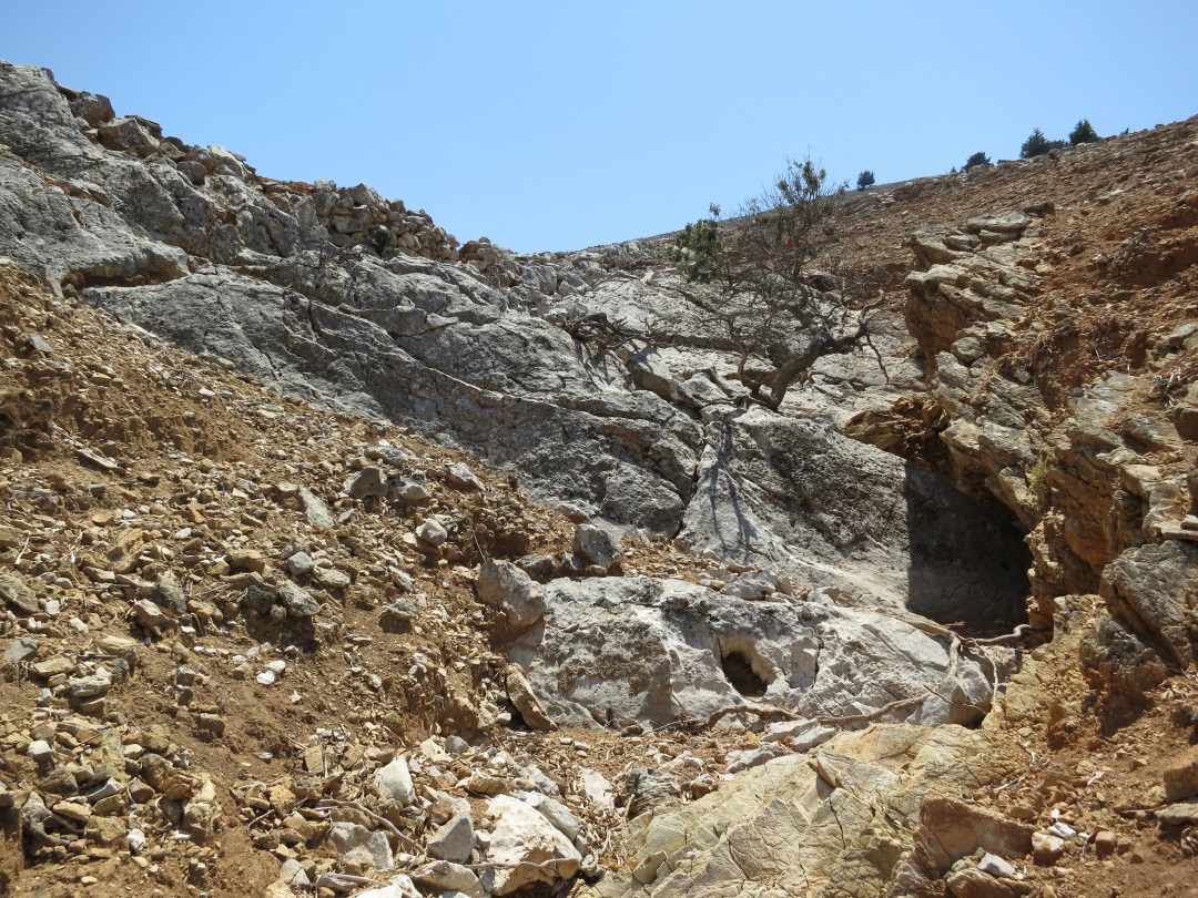
Shallow cave walled up to make a dwelling in the rocks. Note the substantial lintel and door frame.

There are many old stone houses inside the main caldera, here looking across the top of three of them towards the still active crater.

…. and inside the barrel-arch construction is the reason that they survive for centuries despite tremors and eruptions
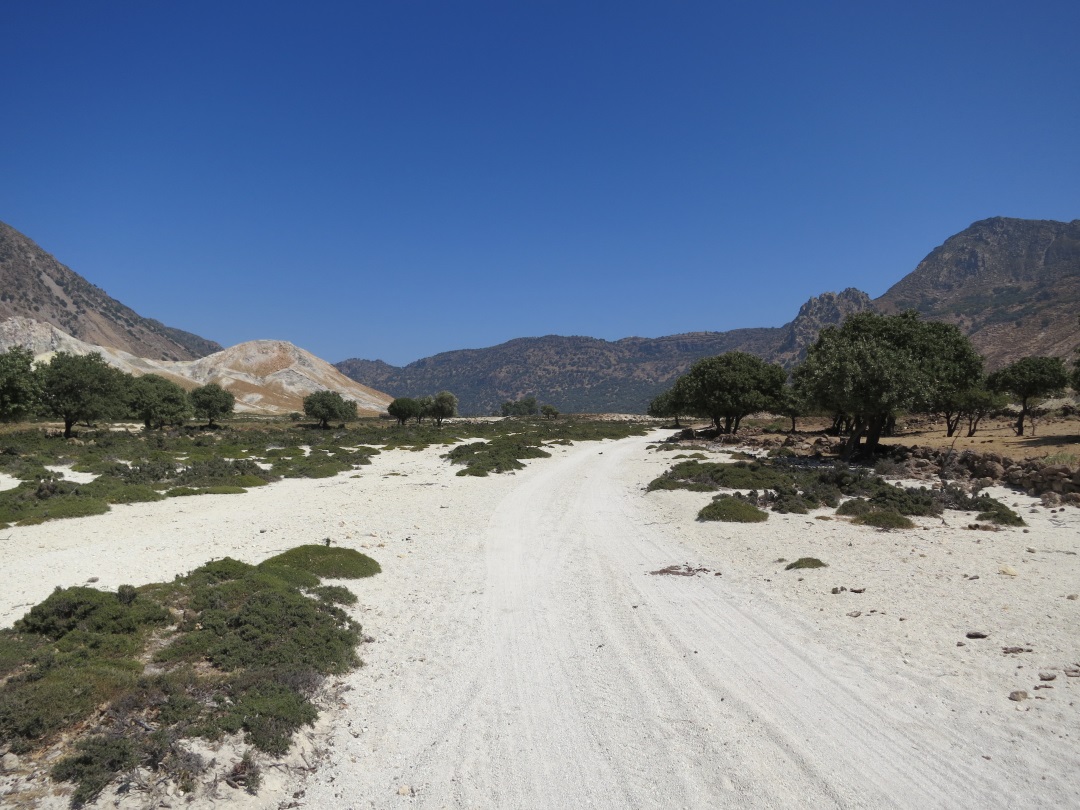
Reaching the floor of the caldera, at the western end blindingly white

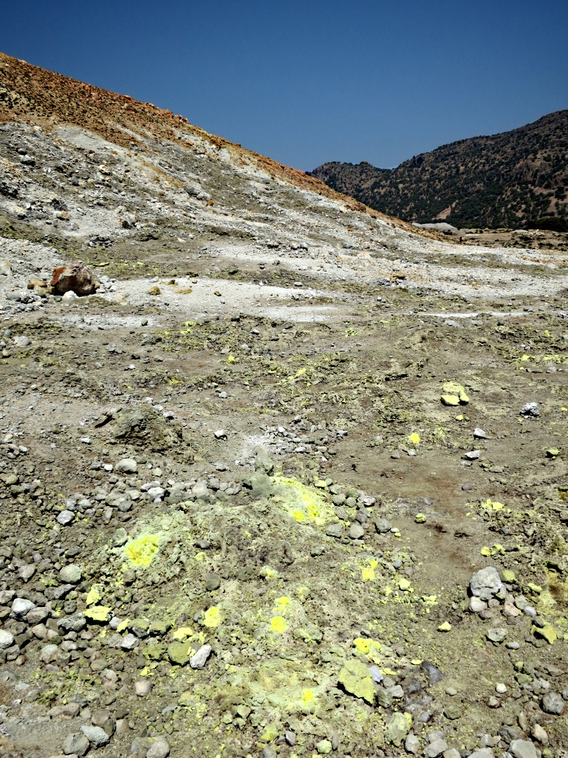
The cone of a small crater patterned by brilliant yellow sulphur. The eye can adjust for the contrast, my technical skill as a photographer can’t.

The Megalos Polyvotis crater, to my mind the most dramatic, looking towards the steeply canyoned western end.
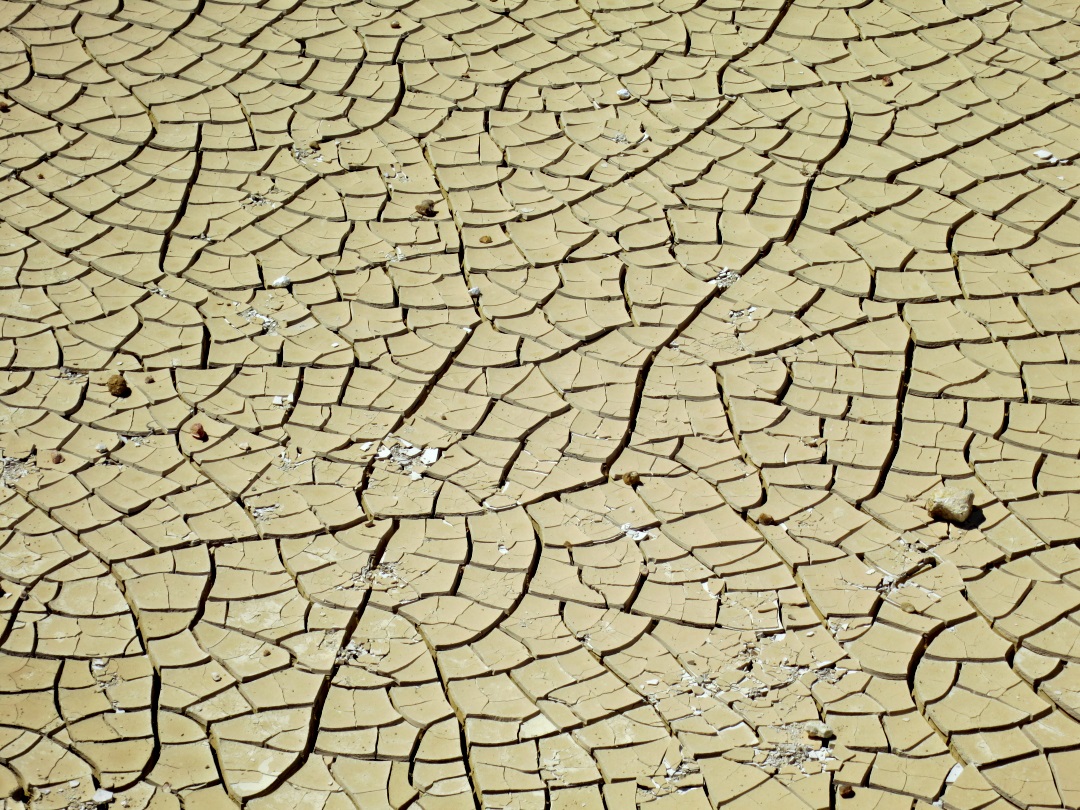
….. the low point of the floor of the crater apparently used to be a lake, lost during a recent eruption/tremor, now dried and cracked sulphur-coated mud
Fumaroles breathe out sulphur gas at many points even outside the craters

….. close up of the crystal structure

Part of the fissure which opened up in the tremor of 2003

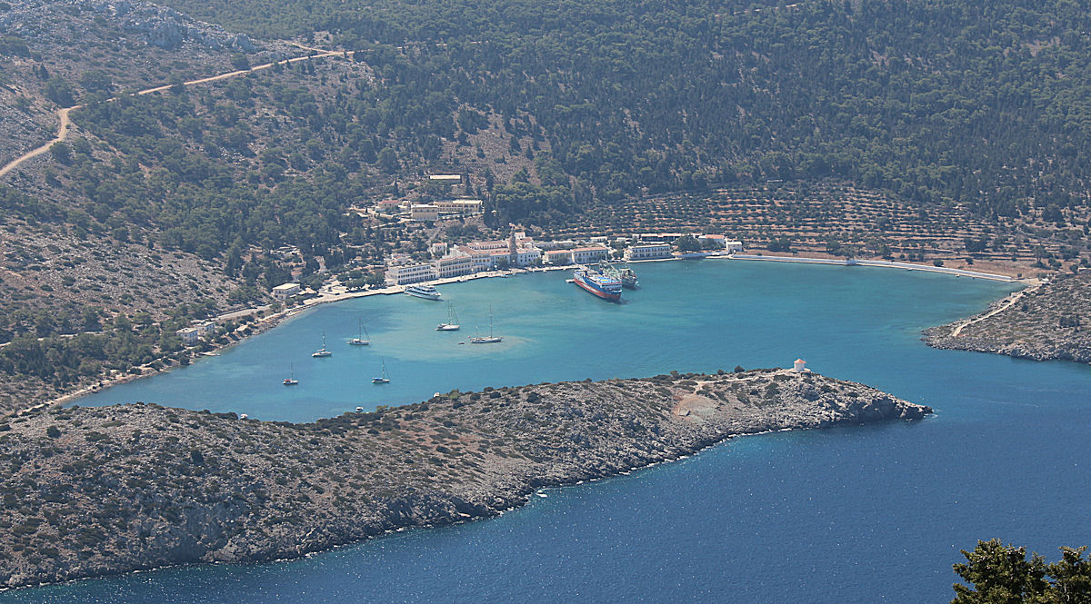
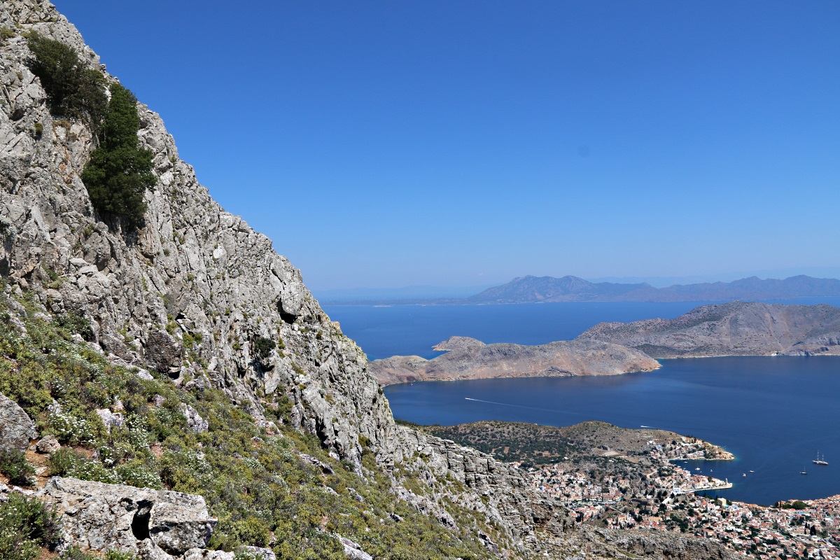
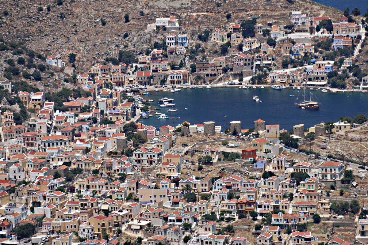
Looking down across Mandraki, the island’s main town, to the dilapidated Norman castle and the Pangia Spiliani monastery

Higher to the left is the massive Paleocastro. Each block is about two feet high. Count them.
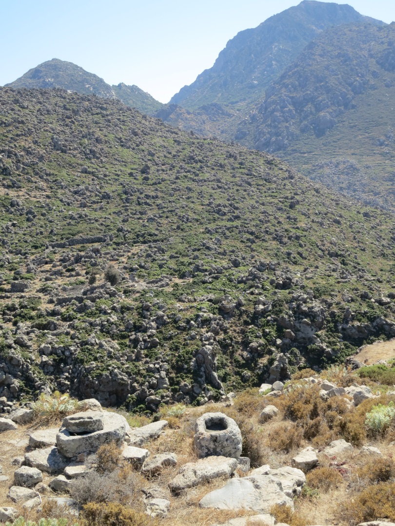
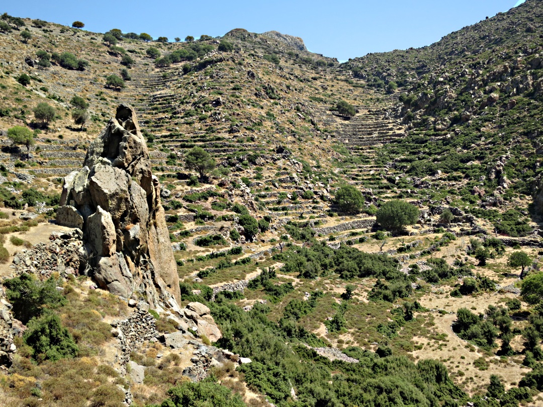
At 170 metres ASL, the lowest point of the Kato Laki crater, internal draining and rising on all sides with narrow stone built terraces each between 2 and 3 metres high all the way to the rim
A plug of lava rises high above the floor of the Kat Laki caldera

Peaceful above Mandraki, the mill on the hill
x