I began this post at the end of May
Written in 1935 for Porgy and Bess, George Gerswin’s ‘Summertime’ is the most covered song in the world, probably in excess of 25,000 times. Eddie Cochran wrote and sang ‘Summertime Blues’ in 1958, a song of regret, also covered by many artists since.
We yearn for summertime. It holds out promise, yet the experience frequently falls short. It is the anticipation of blue skies and warm seas which for many makes the drudgery of work in Grey Britain bearable. Maybe because the reality rarely matches up to the expectation, the melancholy of both songs strikes such a profound chord.
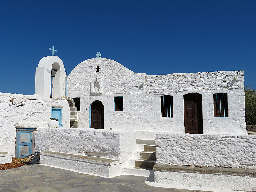
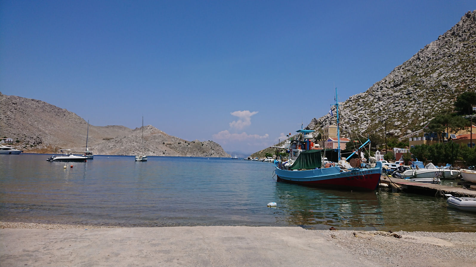
Though I don’t have the drudgery of work any longer, I do feel the depressing effect of Grey Britain. Therefore, like most, I look forward to escaping to the sun each summer. Spring in the Greek islands is often warmer and sunnier than most UK summers, with the added bonus of spring colour which surpasses even the Pembrokeshire Coastal Path.
So, mid-April, I set off for Symi. I took a tumble on Nisyros last year which dented my confidence. Given that I’m conscious that my balance is not what it used to be, and given that a couple of weeks before I was due to go, I had what was diagnosed as a ruptured Baker’s Cyst behind my right knee, I was a little apprehensive.
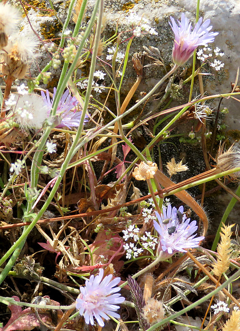
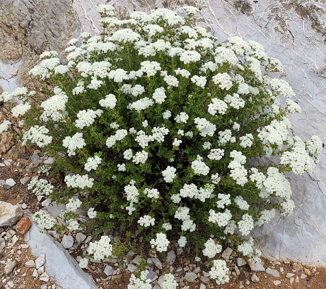
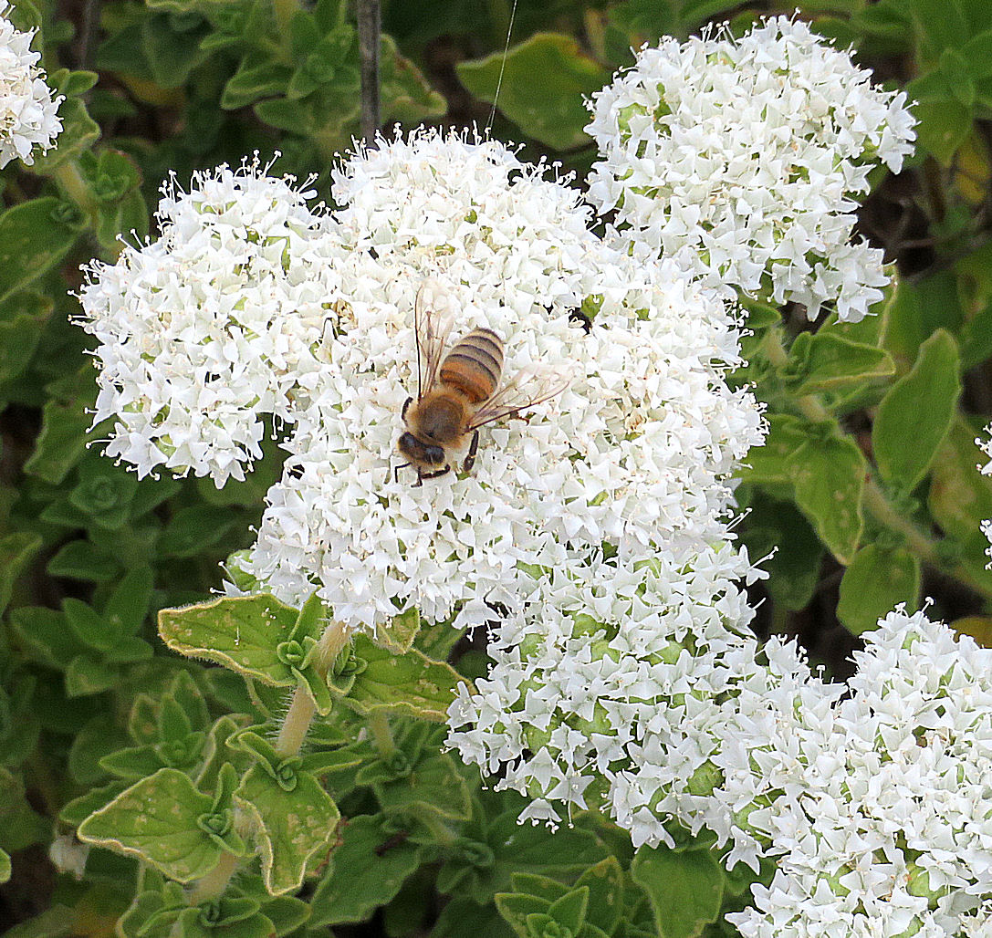
But all was well. The pain and swelling from the burst cyst continued to decline. I was slower than usual but still walking well. After the first couple of days the sun shone from cloudless blue sky. The wind which delayed my ferry for 24 hours gave way to breezes which took the edge off the heat at midday. The spring flowers were a joy.
A friend, Steve, joined me with the intention, apart from trekking around the mountains, of photographing and recording the Dafni Cave. We had left climbing/caving kit with friends on the island and took out more. After a few days acclimatising we hired a car, and drove to the other end of the island. Using climbing protection (I’m a climber), we rigged up better-placed anchor points, joined two caving ladders together and dropped them down the pot (Steve’s a caver). More climbing protection gave a good anchor for a safety rope. As he hadn’t been down the cave before, Steve went for a preliminary look with the intention of returning in a couple of days to do the business with cameras and digital measurements.
It was in the intervening days that things went pear-shaped. We were walking towards Gria, the abandoned village above Pedi, moving well, having passed the section that some people find scary, when I took another tumble. Maybe feeling a little smug about how well I was moving, I pitched headlong and twisted. I don’t bounce as well as I used to and the pain in my right thigh was excruciating, 2 out of 10 when sitting down, 9 out of 10 when I tried to stand. We were nearly at the abandoned village so I sat on the narrow path between the oregano while Steve went to look for something to use as a walking stick.
He came back with an oar. No, that isn’t an autocorrect error. At several hundred feet above sea level he found an oar, about 2 metres long. It was perfect for the job. It took a long time over the extremely rough ground but with the aid of the oar I made it back to the Zoodohou monastery and the beginning of the track.
After that, though I could walk on level surfaces I couldn’t go up or down stairs, never mind mountains. Meant I returned home after 2 weeks instead of the intended 4. Summertime Blues. More than that, I knew I had to rethink, reassess what I did. Given deteriorating balance and slowed reactions as I got older, was it sensible to continue to trek the rugged terrain of the Greek islands in extreme temperatures on my own? I needed to get past the gloom of returning early to Grey Britain before I made any decisions.
….. and completed it towards the end of June.
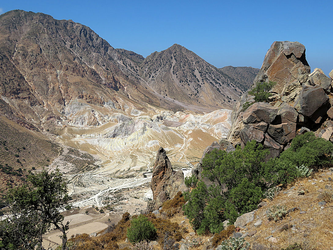
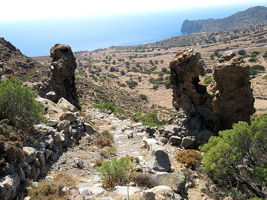
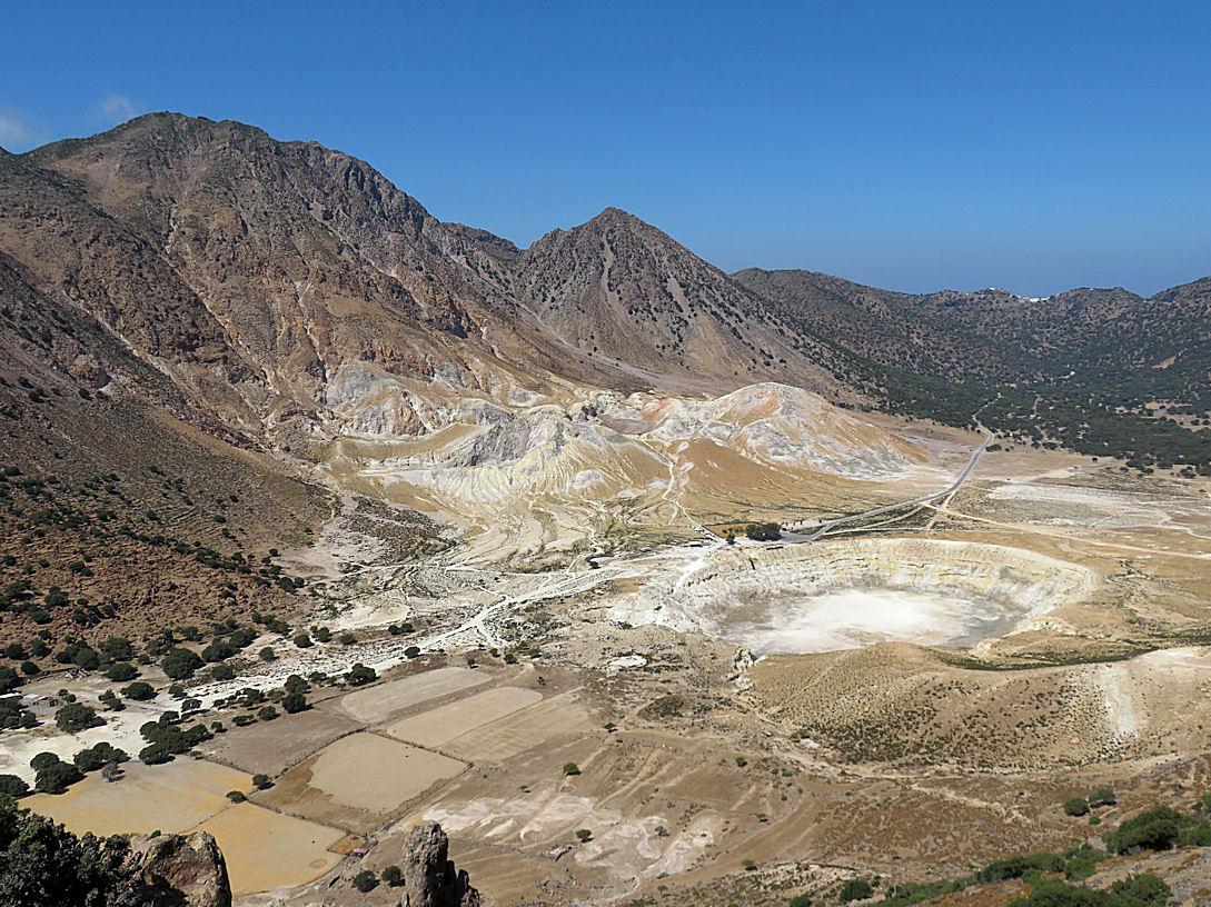
That’s when my minor mishaps were put into perspective. My problems were trivial compared to what happened to Dr Michael Moseley who went missing on Symi. I know the area he went missing in very well, having got it wrong heading for Agia Marina some years earlier. It is near-desert landscape of sharp rocks, low, prickly vegetation and offering no shade at all. The rise up to the col is steep and what at first appears to be a path is nothing more than a route picked out by feral goats. Anyone fallen down would be difficult to spot.
The route Dr Mosely followed would have been exactly the same as the one I followed and wrote about years before. I remembered the incident but had forgotten that I wrote about it in a post on this blog. Others found the post, in tens of thousands, and many wrote to me asking what I could do to help. Sadly, nothing, I was in regular touch with one of the leaders of the search but couldn’t take part myself.
I’m not going to speculate here as to what went wrong for Dr Mosely, what he should or should have not have done. I’m certainly not going to criticise him as some have. The fact that he got so far and so close to safety is at the same time a tragedy and testament to his toughness. I have been trekking in extreme terrain and temperatures for many years. For anyone not used to it, it can be potentially, or in this case actually, lethal.
But because of this tragedy and the accidents I had last September and again recently in April, I had begun to re-assess my own activities now I’m nolonger in the prime of middle-age. Is it time to give up walking in the mountains on my own and settle down to a more sedentary existence – carpet slippers and a pint? Friends have been urging me to pack it in. Family are becoming concerned. Media ‘experts’ stood around on Symi in office clothes and pronounced walking in theses conditions too dangerous. “Round objects”, as a civil servant scribbled in the margin of a memo to Churchill which he disagreed with. (Churchill is reputed to have asked “Who is Round and why does he object”). But is it time to call a halt?
Alexander the Great said ‘Life is only made worthwhile by challenge’, though I guess he said it in Greek. Certainly for me, , for many, it’s the driving force.
I revisited the ‘Afterword’ in my book ‘A Small Life in Twenty Memories’ in which I addressed this issue. I’m not trying to promote sales of the book off the back of this tragedy. I tried and failed with my limited technical skills to copy a link to the Afterword. as a PDF, so it’s in plain text at the end of the blog.
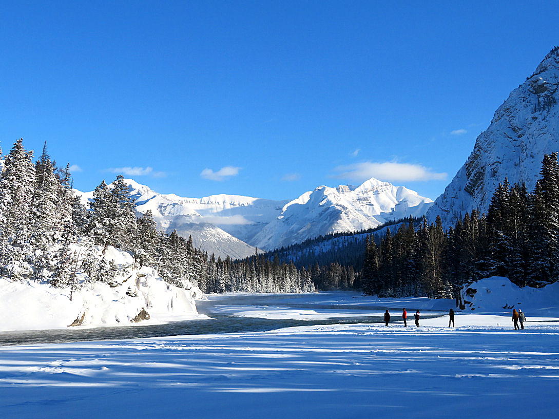
Some conclusions I have drawn. I’m not giving up walking in the mountains in Greece on my own. Nor snow-shoeing in Canada Solitary walking is not what I do, it’s what I am. It’s me. I have always picked routes with an eye to the conditions and my level of fitness but recognise as I get older that I can’t take on what I used to.
Dr Mosely would have known this far better than I do. There are two critical issues, ambient temperature and hydration. If temperature is forecast to be 400C, that is above blood temperature (370C) and the body is stressed, struggling to cope. But forecast temperature is in the shade. In the sun, which is where we walk, it’s likely to be 550C. Hydration is difficult to judge as the amount of sweating is masked if there is any breeze. Sorry to be brutal, but you need to monitor the colour of your pee. When you become dehydrated it affects not only your physical performance but, perhaps more critically, your decision-making ability.
I researched the issue some years ago and found there is good scientific evidence that the body adjusts to extreme conditions of heat (or cold) but it takes time. Heart rate initially increases by about 10% to control body temperature but then settles back. The chemistry of the blood changes, amount of perspiration and chemical composition of sweat changes. And so on. Ever wonder why locals are wearing ski jackets on the Greek Islands in May while you are roasting? Their metabolism is adjusted to the heat. You have just flown in from single figure temperatures in Grey Britain. No hope of adjusting in a week before flying home. It takes several weeks to adjust. One of the many downsides of Brexit is that Brits spend less time in the sunshine, suffer more in the extreme heat we are increasingly experiencing.
So, apart from the usual precautions I have taken for years – a minimum of 1½ litres of cold water in insulated sleeve, small snack of honey and almonds, comprehensive first aid/emergency kit, I have added take two additional precautions. I now carry a folding trekking pole in my rucksack as I can’t rely on finding an oar on the top of every mountain. And my family know where I am at all times thanks to Google Maps so they can pinpoint my body if necessary. Or tell that I’m still in the hotel having a morning off – like today. Or spending too long in the taverna over a post-trek pint.
That isn’t to say I’m indestructible. Far from it. But I continue to do what makes me, me. I am back on Nisyros. A week walking with friends, two weeks on my own.
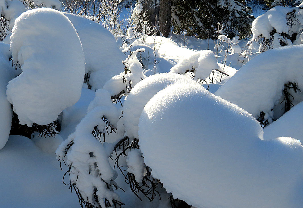
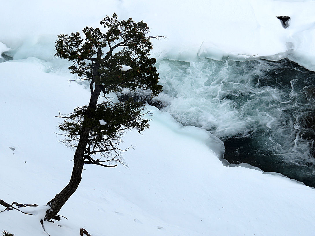
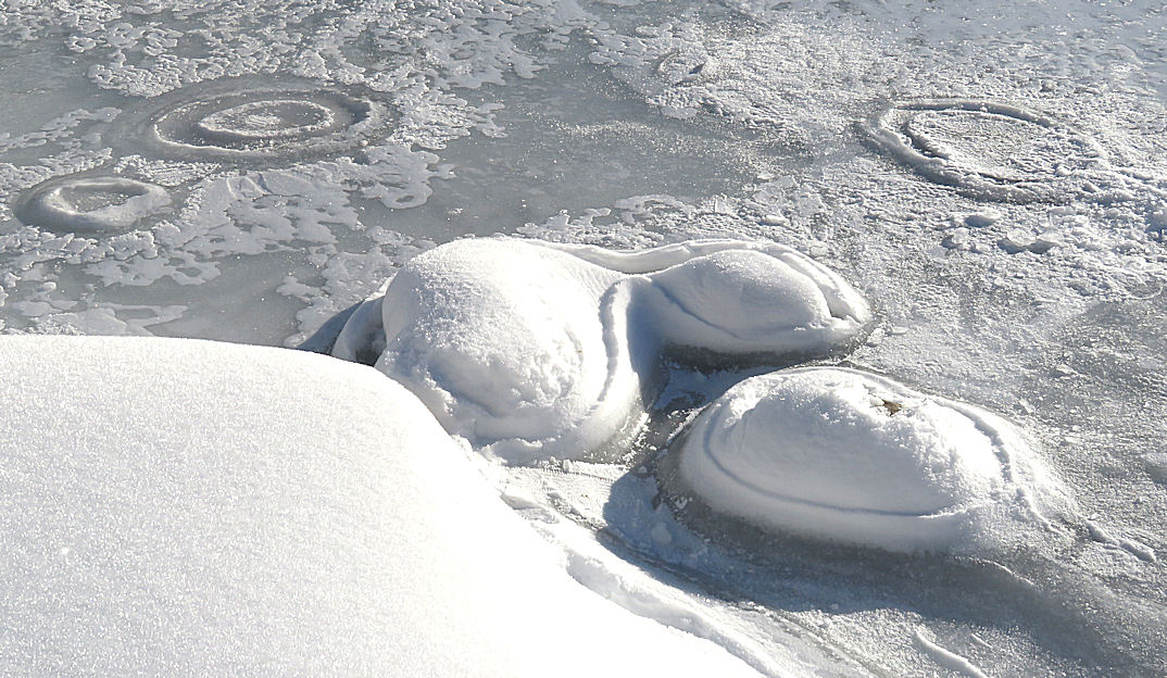
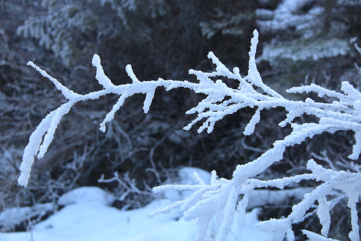
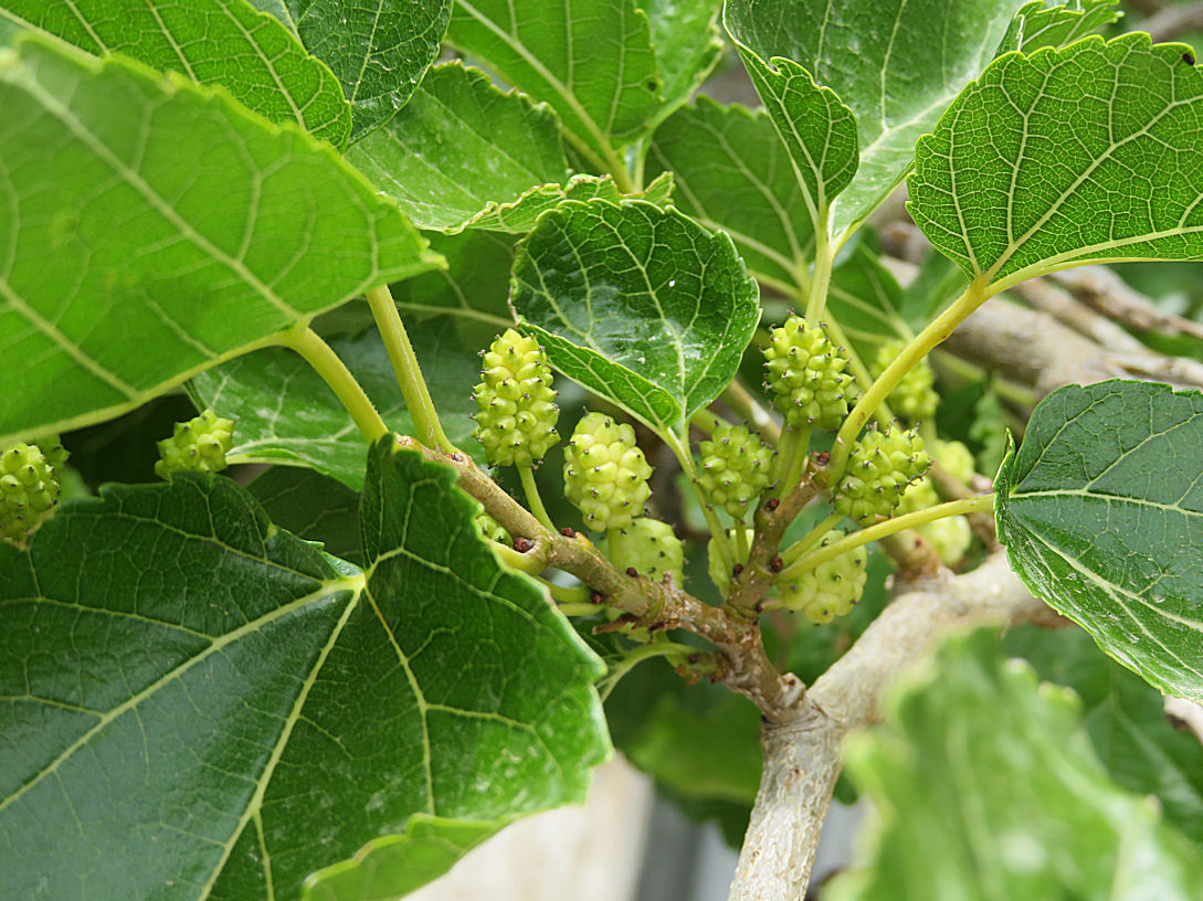
I had originally planned a post with lots of photos of spring flowers but that hardly seems appropriate now. I’ll save those for the end of next winter to encourage people to visit the Greek Islands in Spring.
Afterword
“You’re weird!” The reaction of a colleague during a discussion
about what we had been doing over the weekend. I can’t recall
the weekend’s activities but what struck me was the assumption
that I was ‘weird’ because what I had been doing was completely
different from what everyone else had been doing. Pub, TV,
watching rugby, shopping seemed to be the norm. Because I
went paragliding, or kayaking, or climbing I was categorised as
abnormal, verging on deranged.
Apart from doing different things to the ‘norm’ I guess I was
regarded as odd because the activities I preferred were seen as
risky and often involved being out in adverse weather. Being in
the mountains, on river-rapids, on the sea in ‘extreme’
conditions – raining, windy, snowing, freezing or heatwave – or
crawling into dark, cold, wet, holes in the ground, doesn’t
appeal to many. Thankfully so, or the outdoor world would be
cluttered, solitude, ‘head-space’ difficult to find.
But it brought me alive. Since early teens I had been an
‘outdoors’ person, trying one thing after another simply
because they grabbed my interest. In those days a lot of what I
did was very amateurish but it whetted my appetite.
As my enthusiasm built, increasingly often I went on my own.
We did very little as a family, certainly nothing involving the
remotest hint of exercise. I had an introduction to the
mountains when I was a Scout but their activities were very
limited.
Just to be clear, I didn’t get into outdoor pursuits just because
they are ‘different’ but because they became my passion. If
doing different things to what the majority do is ‘weird’, then,
yes, I guess I am, and have been most of my life. Not that I
Afterword
revel in being ‘different’, for the sake of it. It’s a matter of
indifference to me. What would bother me is not doing them.
Once I had been introduced to the outdoors and the world
beyond the man-made confines of urban space, I was driven.
There was a pull I couldn’t resist. I was more at home on the
top of a mountain in a blizzard than in a disco. I soon realised it
wasn’t so much what I did, it’s what I was. And still am.
I remember years later being button-holed by the wife of one of
our top pilots at a Christmas Dinner when I was chairman of the
local hang-gliding and paragliding club and subjected to an
aggressive tirade. “You’re all irresponsible. John is married with a
family. We rely on him. What happens to us if he’s injured or
killed?”.
I tried reasoning with her that he was pilot before they got
together and that flying not only helped make him what he was
but that he would not, could not, be the same person if he
packed it in. “I’ve flown with John and know he’s a very sensible
pilot. I’m married with two kids but my wife wouldn’t dream of
trying to make me give up flying (or climbing, or kayaking or
…..) She knows it’s what keeps me sane, that it’s what I am.”
I was thinking on my feet, with a termagant, claws-out, in my
face, but reassessed what I had said afterwards. I could
understand the concerns of a mother for her family but could
also appreciate that it’s essential to be yourself, true to your
nature. Even after reflection, I would take none of it back.
There is something about being ‘in the wild’ relying on your
skill and wit to fly/climb/canoe which is irreplaceable.
But what about the risk-taking?
I had taken our daughter back to university and was spending a
couple of days walking in the Derbyshire Peak District, centred
around Hayfield and Kinder Scout. I wasn’t born at the time,
Afterword
my parents hadn’t even met, but the 1932 Kinder Trespass which
led to the opening up of mountain areas in the UK to the public
by the National Park and Access to the Countryside Act of 1949
was spoken of in hushed tones of respect when I was a young
teenager newly escaped form the Salford slum where I and my
contemporaries were brought up.
Out of nostalgia, during the day I had walked the route of the
Trespass and now I was sitting by a log fire in the lounge bar of
the Lantern Pike Inn in Little Hayfield, mesmerised by the
flickering flames, the heat radiating from the embers comforting
chilled bones and tired muscles. A pint of well-kept real ale at
my elbow, all was well with this small corner of the world. I
picked up the copy of The Manchester Evening News lying on
the table and started leafing through the pages, brain idling,
increasingly soporific in front of the fire. Mildly interesting but
nothing attention-grabbing.
Until I reached the centre pages and was instantly snatched from
the grip of Morpheus. It was a centre-spread dealing with the
issue of the Peak District Mountain Rescue Team being
overstretched because of call-outs from people who were either
not in serious trouble (“can you bring me some water, I’ve run
out”) or had gone into the mountains ill-equipped (“I don’t
know where I am and haven’t got a map”). Idiots feeling
liberated by their mobile phones.
Going into the mountains since the age of 12, often on my
own, I had gained a fair amount of experience, learned a bit of
‘mountain-craft’. But there was something far more
fundamental fermenting at the back of my brain and starting to
crystallise into formulated-thought. Especially so after this
encounter with the Manchester Evening News.
The key? The fundamental! What I had been doing for years:
“Take responsibility for your actions.” That meant dealing with
Afterword
whatever circumstances arise when things go wrong and learning
from the experience to reduce the chances of the same thing
happening again. Above all, not committing to something with
the intention of calling on others to get me out of the mess I
had got myself into.
The approach is rational. Over many years I learned that it’s
important to both separately and jointly assess ‘risk’ and
‘consequence’. The ‘risk’ is the likelihood of something going
wrong. The ‘consequence’ is what will happen if it does. You
balance the two.
Sometimes the assessment is of high risk and serious
consequence. Then you knock it on the head, find a
contingency solution, maybe do something else. What you
commit to is refined by experience. The assessment applies to
life not just ‘extreme sports’.
After Pordenone, (Chapter 4), I reduced the risk of the serious
consequence of losing my passport by keeping it in a zipped
pocket when I’m out-and-about in Greece, Canada or anywhere
else outside the UK. More recently, and most certainly, I keep it
in a rucksack between the bed and the door at night rather than
in a hotel safe (no safe is safe if the room is destroyed (Chapter
20)). Most recently, again after a mishap, I make sure to take it
out of the rucksack pocket before putting said rucksack in the
washing machine to get rid of 6 weeks grime before flying
home.
Make the risk assessment, take steps to mitigate the
consequences, but, whether in the mountains or urban streets, if
things go wrong, as will inevitably happen occasionally, be able
to work out contingencies and solutions. It’s the eskimo roll of
life, how to right yourself when you capsize. How to focus
attention and action on ways to get out of the pit rather than
dig it deeper.
Afterword
On a practical level, I carry a pretty comprehensive emergency
kit, not just a few sticking plasters, and know how to put myself
back together if necessary. However, most important is to be
able to think laterally, get outside the box. Sometimes very
rapidly to avoid crashing into that roof (Chapter 17).
But learning how to deal with things when they go wrong can
only go so far. Friends say to me “You shouldn’t go into the
mountains on your own (or do this or do that ‘extreme’ sport.
You’re lucky to be alive.). I guess I am. There have been near-misses. Miscalculations. Unexpected twists. But from my
perspective it’s not ‘luck’, it’s the providence of God.
Not that I deserve it, nor presume God is always going to get
me out of a pickle. Centremost when I commit to something is
to assess the risk/consequence balance. However, because
neither I nor anyone else has complete knowledge of the
conditions and circumstances in any situation, occasionally
something goes wrong, rises up and bites me in the bum. The
finger-hold I’m counting on may after centuries as part of the
solid rock, suddenly give way when I’m hanging on it. I may
have miscalculated the balance between dehydration and the
amount of water I’m carrying in the mountains in Greek
summer. So far it has panned out OK. Providence.
But what if it doesn’t pan out OK? We all “have to go
sometime” – or any other euphemism you care to use. A friend
and colleague who was one of the founder members of the local
mountaineering club died of a heart attack on a post-prandial
walk in the Brecon Beacons one Sunday afternoon. He was
found sitting on a rock on the mountainside. Others in the
office, non-mountaineers, were of a mind “He should have
known better than to go out on his own”. How wrong!! He
knew the risks and the consequences. He died doing something
he loved in an environment he loved.
Afterword
If I had to choose between going that way or in a nursing home
unable to wipe my own arse and drowning in my drool, I know
which I would choose. Not that I’m looking for it. Statistically
I’m far more likely to pop my clogs in a household mishap or
traffic accident. The actuarial data proves it conclusively. In his
book ‘Notes from a Big Country’, Bill Bryson notes that
400,000 Americans are injured each year by their bedding.
I’m safer in the mountains. I like to think that though my
family and friends would be sad to be finally faced with my
inevitable demise, they would prefer me to go out with dignity,
doing stuff in places that I love.
I’ve had threequarters of a century of learning by experience,
calculating risk and consequence, making mistakes, and
knowing there are things beyond my control. Rich memories.
But what about the future?
The ageing process inevitably means that some of the things I
did 30 years ago I can’t do any more. Stamina decreases. Body
strength decreases. Suppleness and dexterity decrease. Reactions
slow. Because of diminishing abilities, the ‘risk’ aspect of the
calculation has shifted and will continue to do so but the
calculation is still made every time. Fading faculties may reduce
to the point where activity is nolonger viable and horizons are
pulled back rather than expanded.
But until then, what is the alternative? Medical opinion is clear,
keep as physically and mentally as active as you can to offset
ageing – which generally begins at age 35. I’m more than
double that now but I can look back on having done far more
since 35 than I did before. I only took up skiing when I was 65.
Apart from keeping active to offset creeping decrepitude,
maintaining my sanity, I can’t help myself now any more than I
could as a young teenager in the Peak District. I have no
Afterword
alternative. I’m still driven. I have to push myself as far and
often as I can.
I’m grateful for friends who care enough to counsel me to slow
down, pull back from what they see as the risky stuff. But I
wouldn’t be me if I did. Horizons and activity may be reduced
because of age, illness or circumstances, but limits are always
there to be pushed.
I know that at some point like everyone else I’m going to pop
my clogs, shuffle off this mortal coil, whatever cliché you want
to use. The only thing which causes me any concern is that I
don’t want it to be as a result of making a stupid mistake. It
would be good if it were to happen doing something heroic,
though that is very unlikely. The probability is that, like most
people, it will be unremarkable, inconsequential. A small end to
a small life. But what a lot of memories in the meantime.