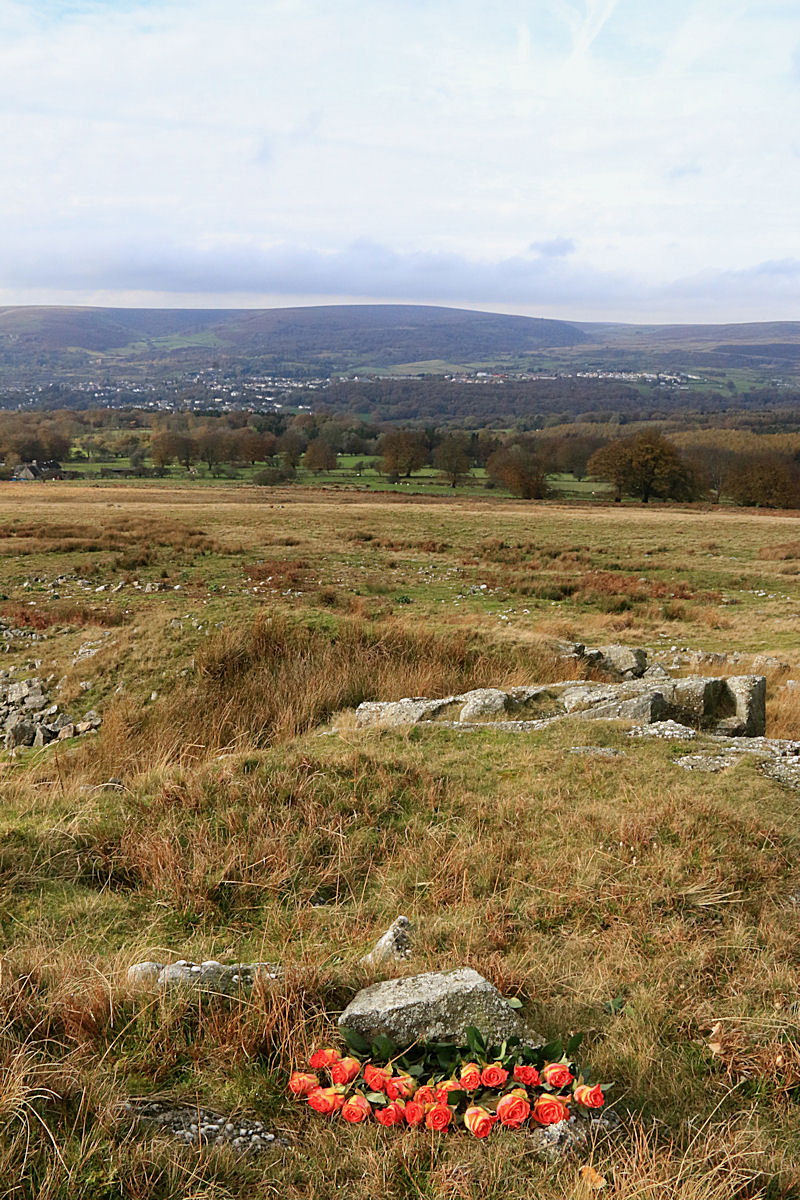
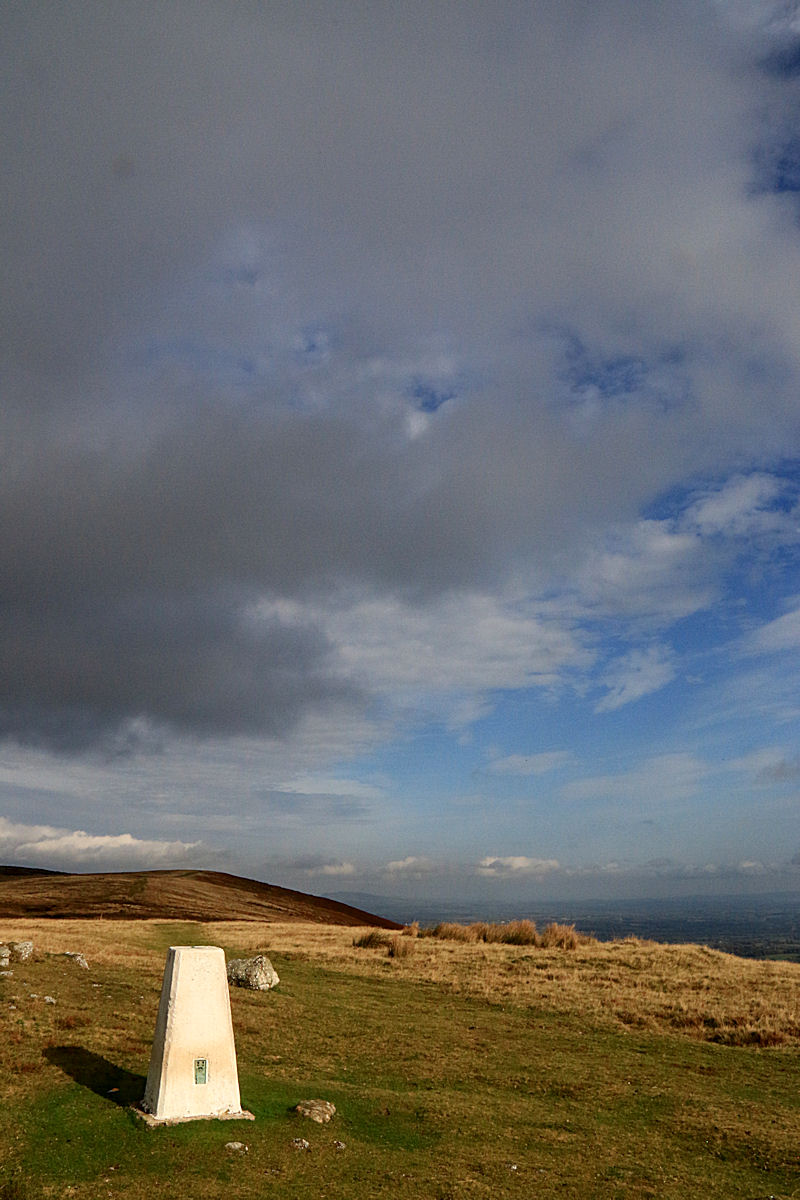
During the summer on Symi and the other islands I visited, I went walking in the mountains every day. Since I have been home I have been out very little even though I live at the edge of the Brecon Beacons National Park with the ridge-top half an hour from the house. The weather simply hasn’t been clement and the incentive has been lacking. On Sunday, frustrated by inactivity and persistent greyness, I walked up to the ridge when I caught a glimpse of the sun. It didn’t last long. I stood with my back to the Folly Tower and took a panoramic shot of the sky to the south and west, seconds before it started to rain again. I turned my back on the folly and squelched home to write about Symi, reliving the clear sky and warm sunshine.

Looking West from the ridge-top Folly Tower above Pontypool
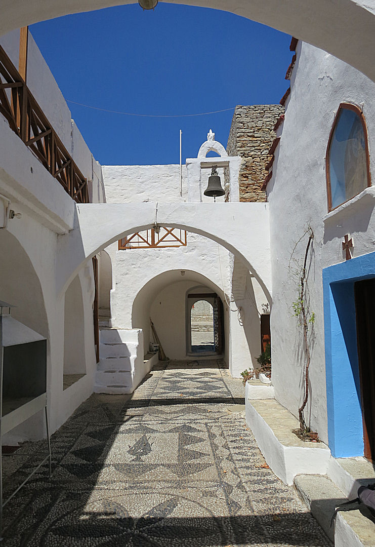
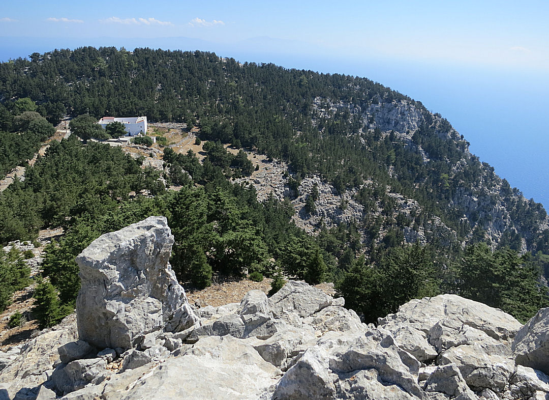
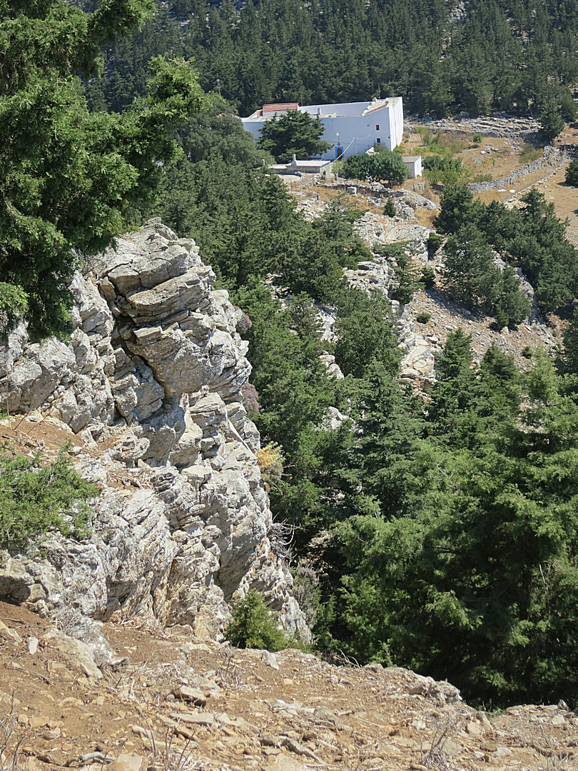
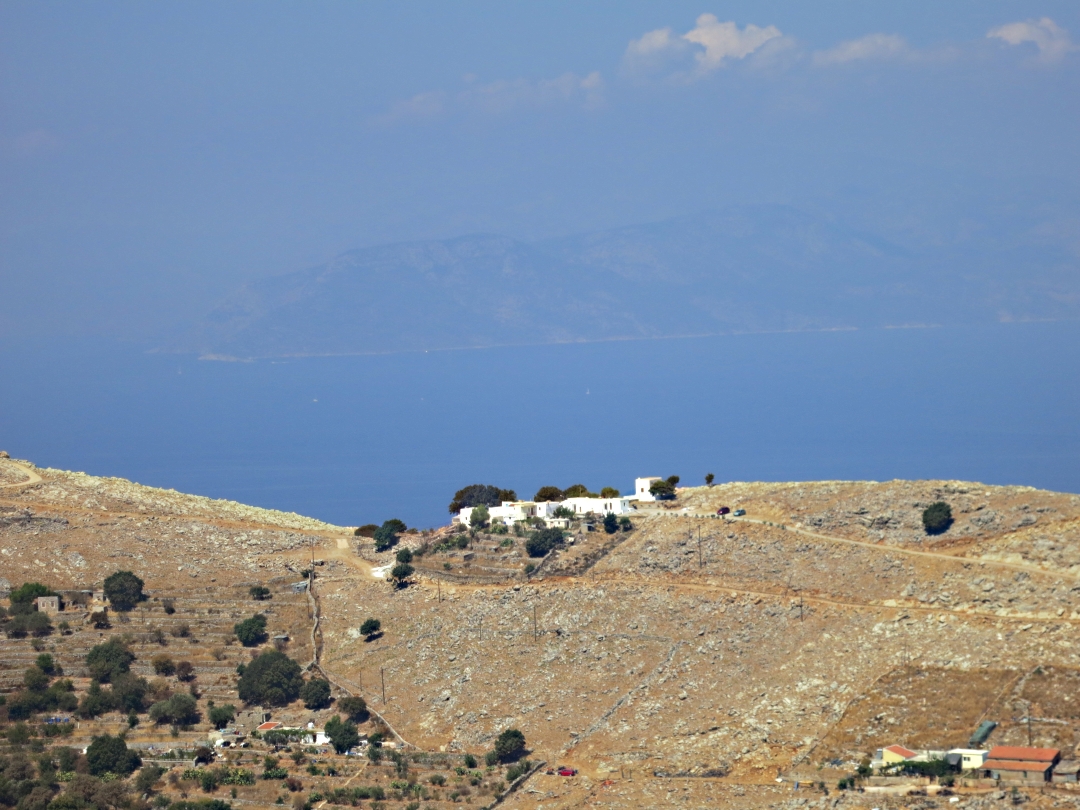
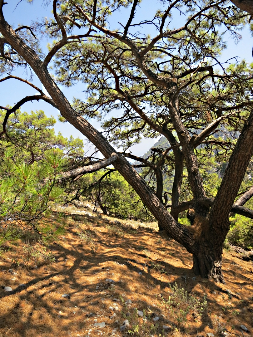
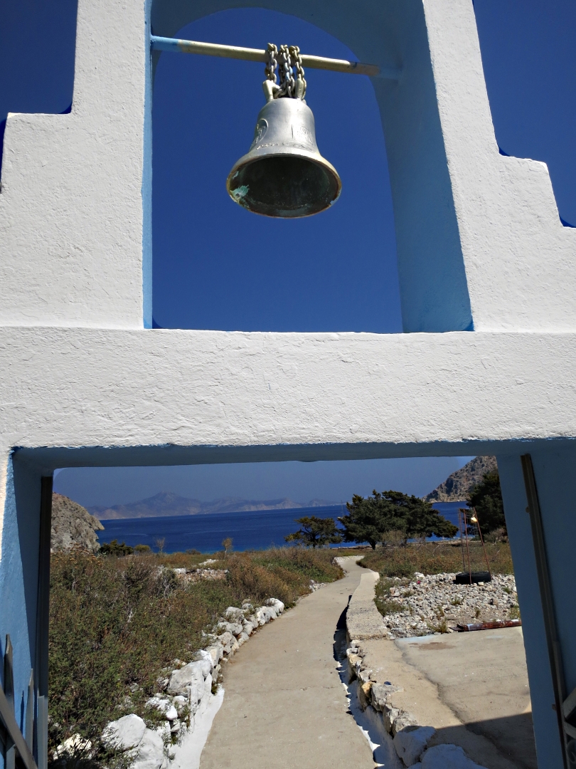
Towards the end of my stay on Symi I trekked back to the pond at Gria, the deserted settlement in the crags above Pedi, a couple of times. The tedium of trudging along the access track to the Zoodohou monastery is always relieved by the views across the Pedi Valley and back to Horio and the line of ridge-top windmills.

Old windmills on the ridge-top on the opposite side of the Pedi Valley
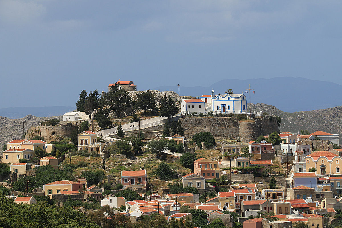
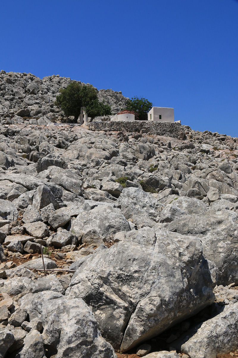
Small churches on the crag which tops Horio
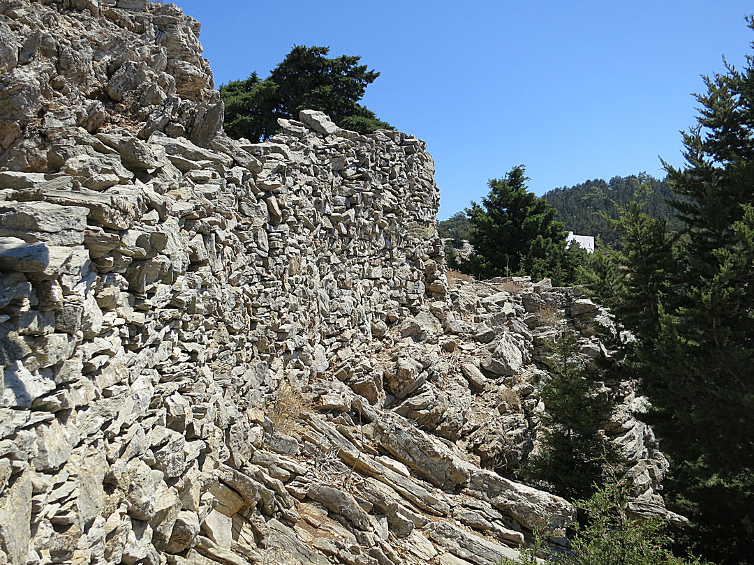
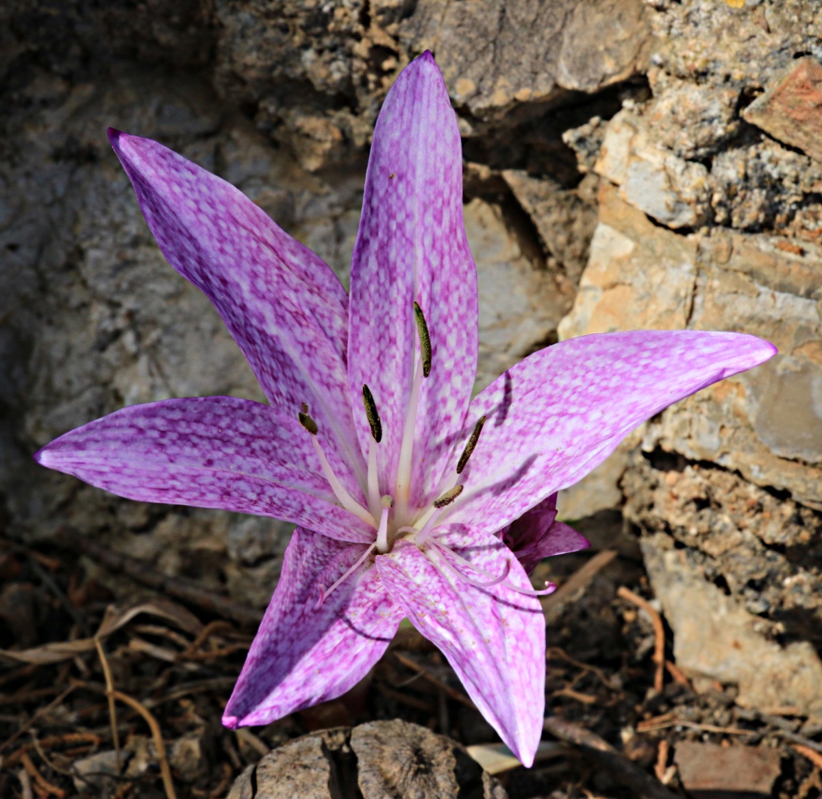
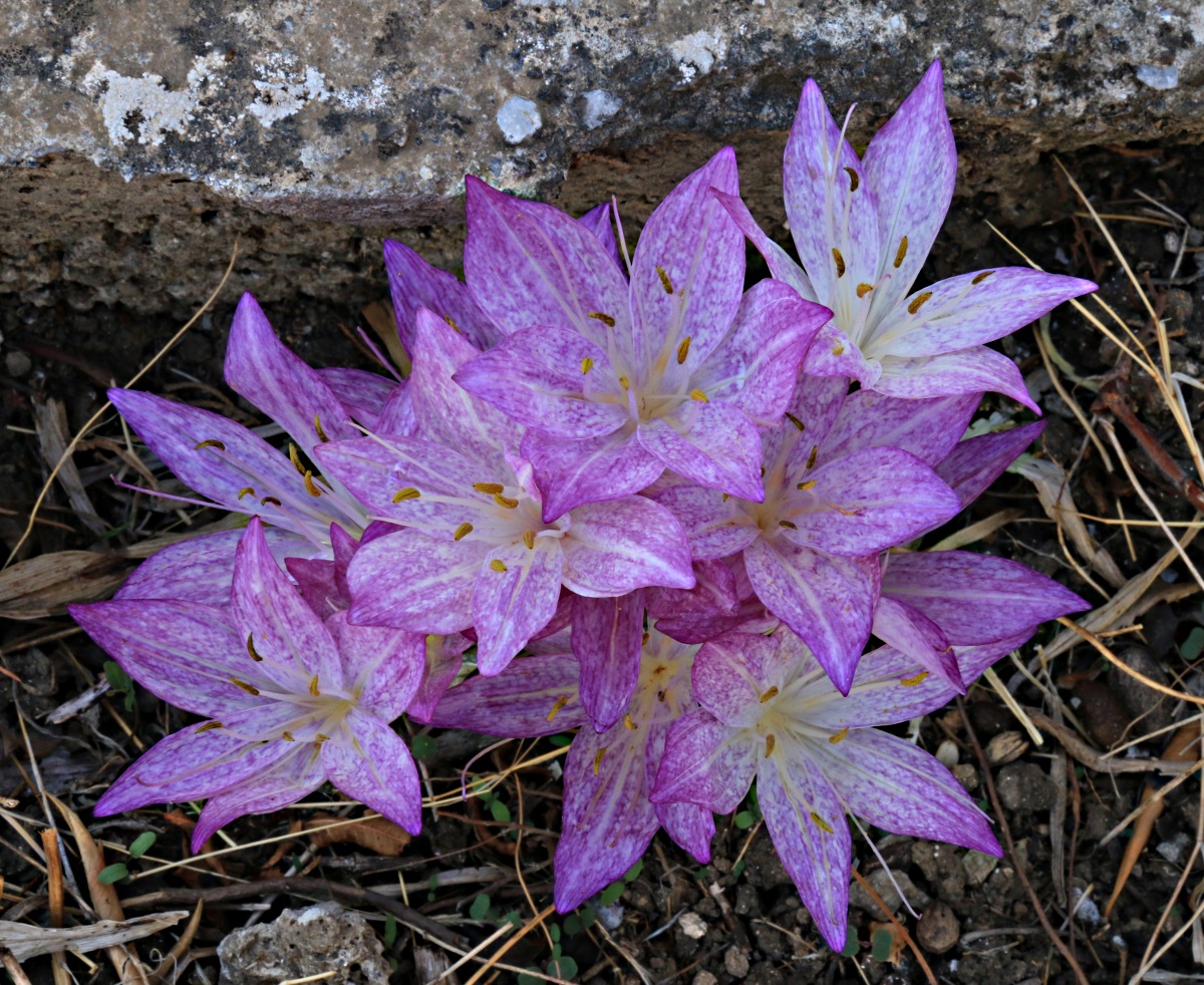
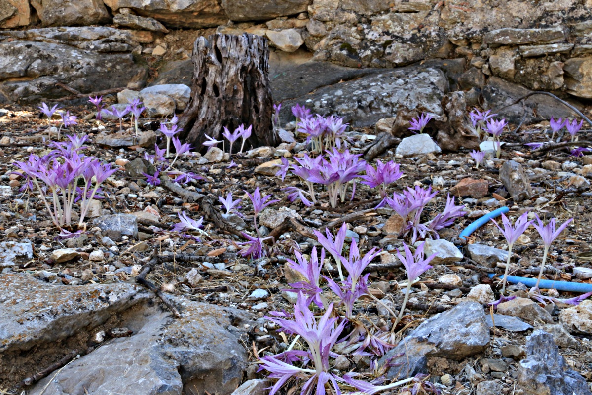
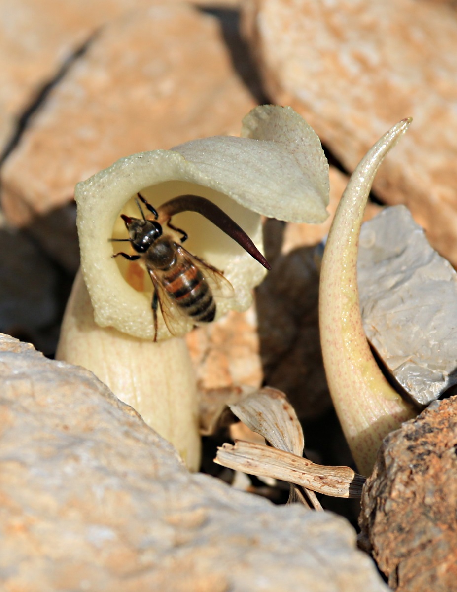
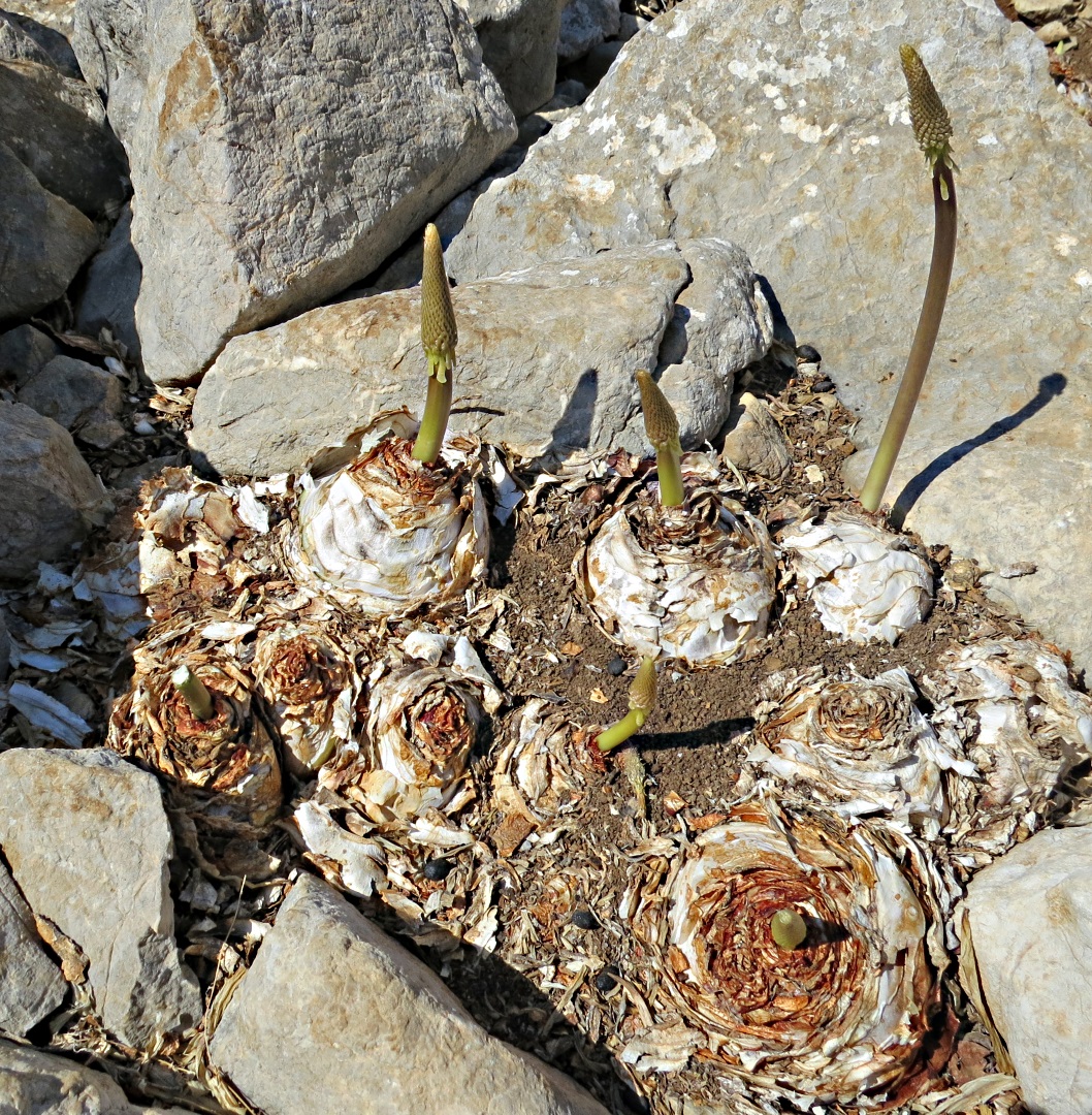
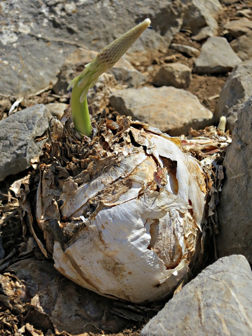
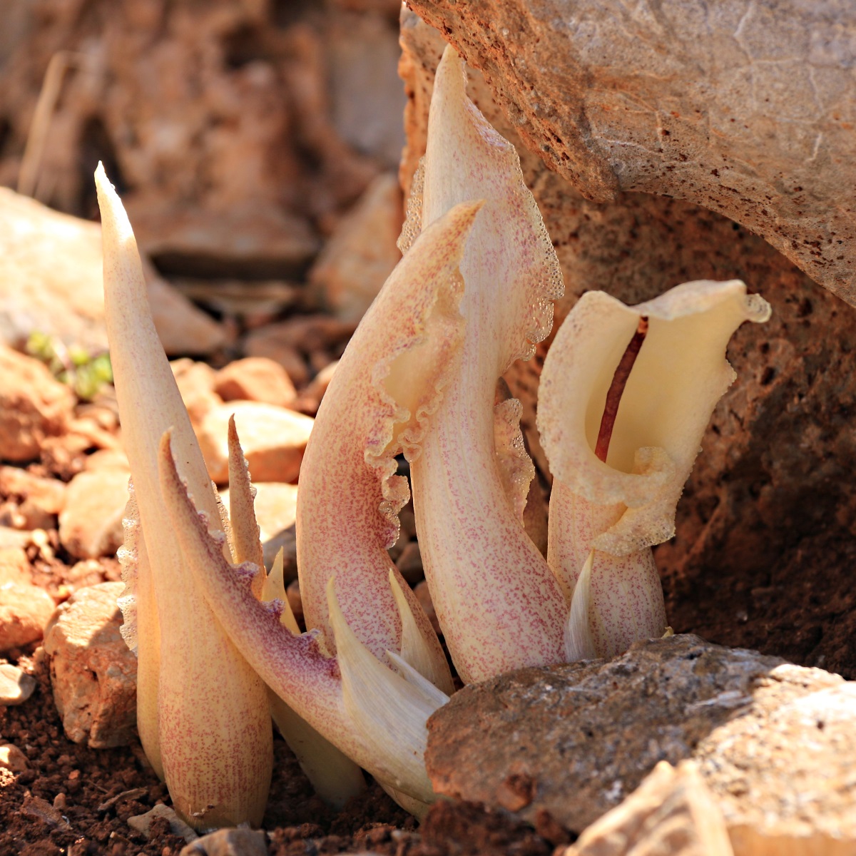
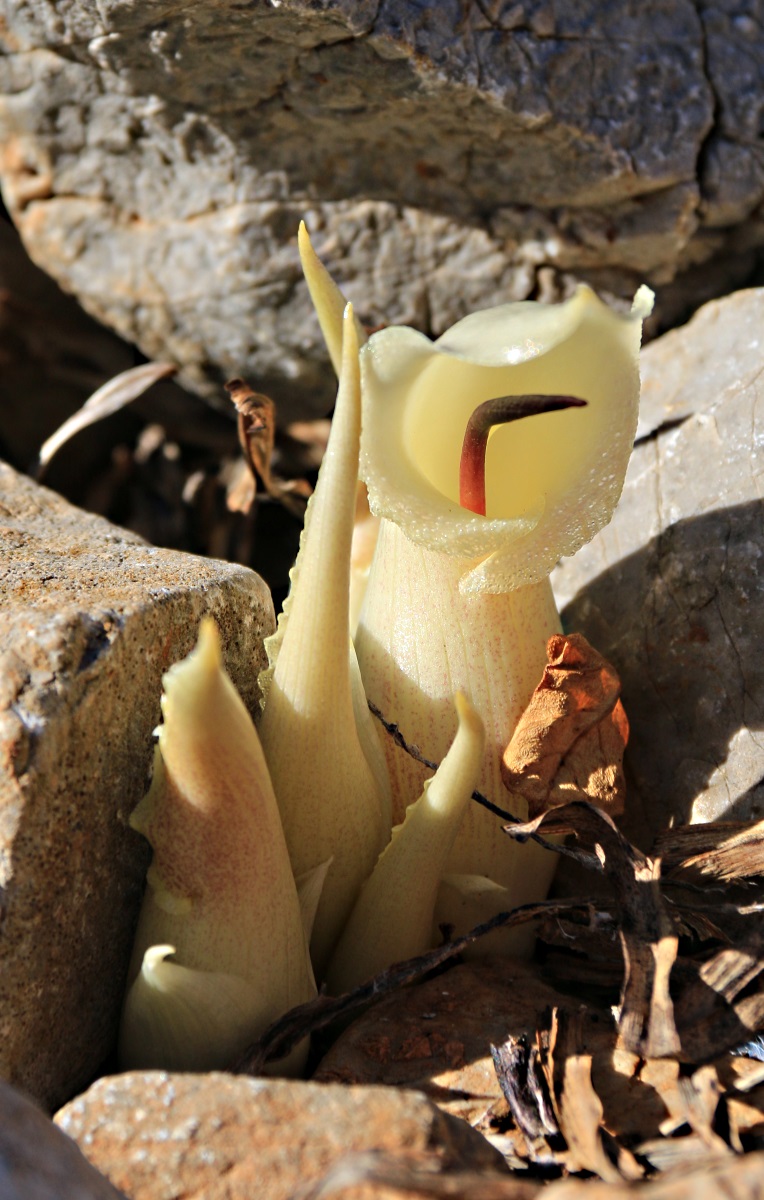
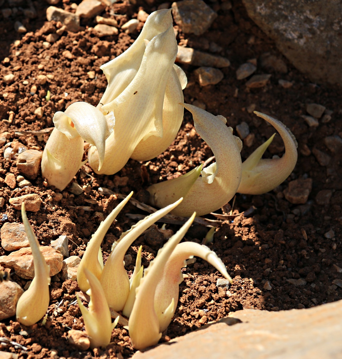
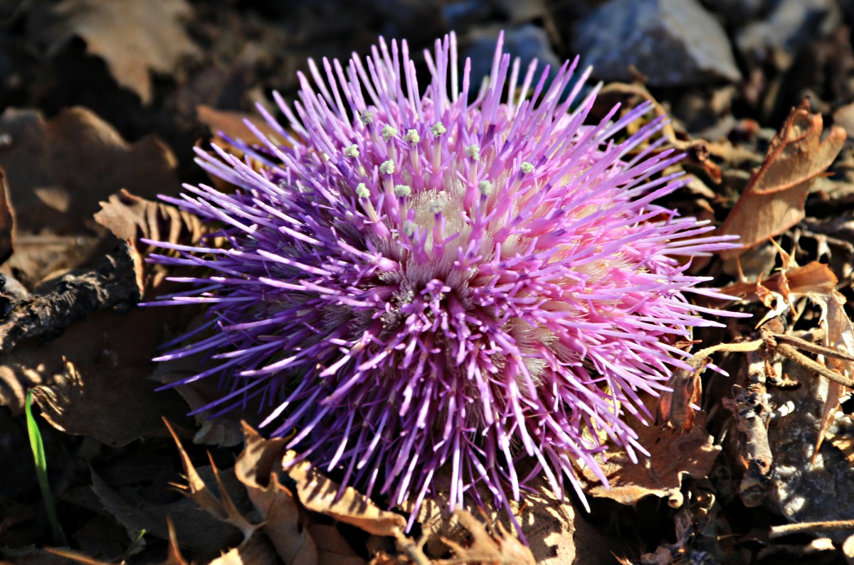
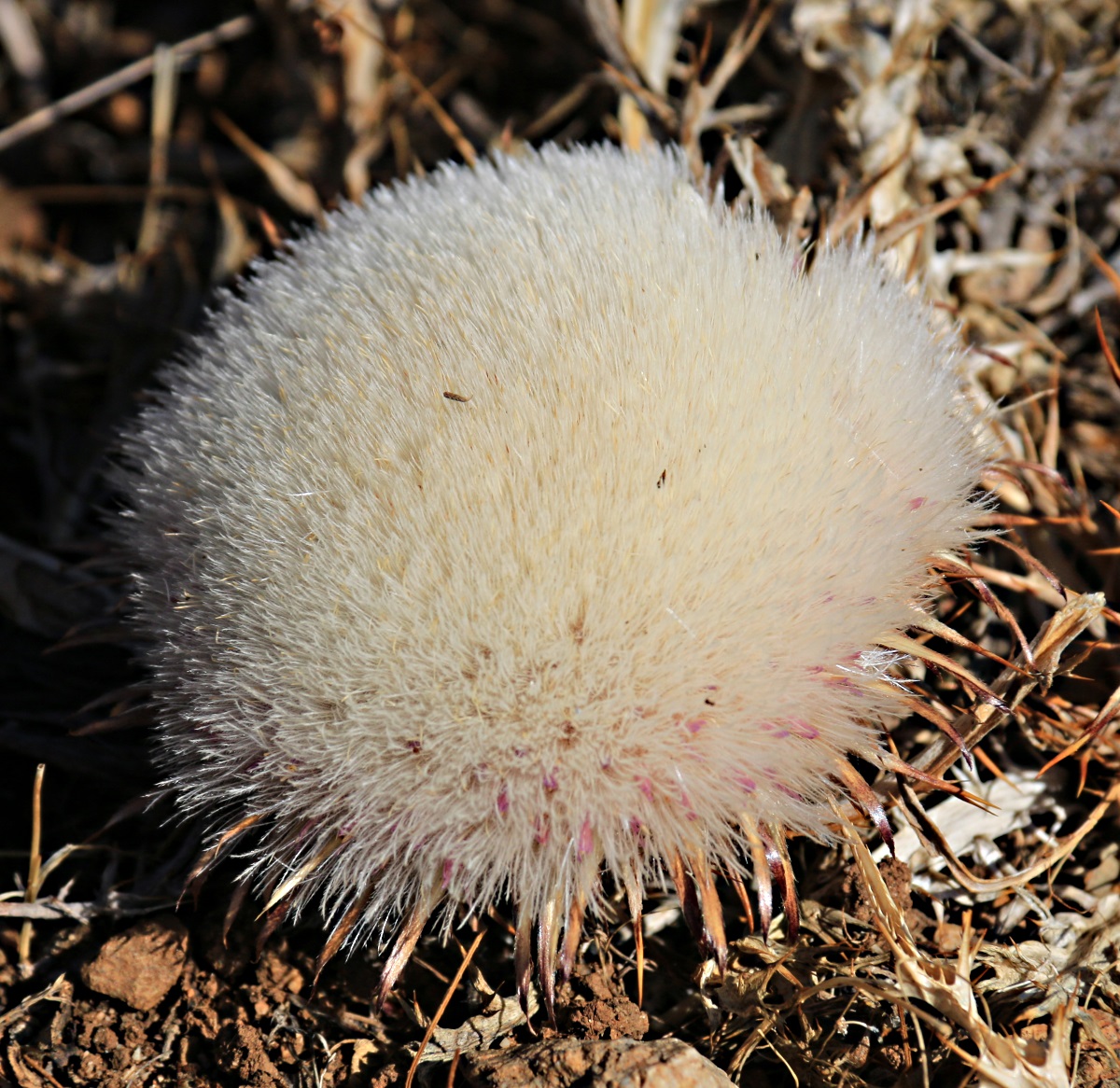
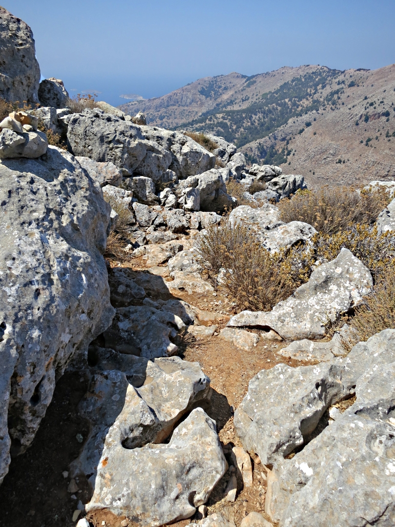
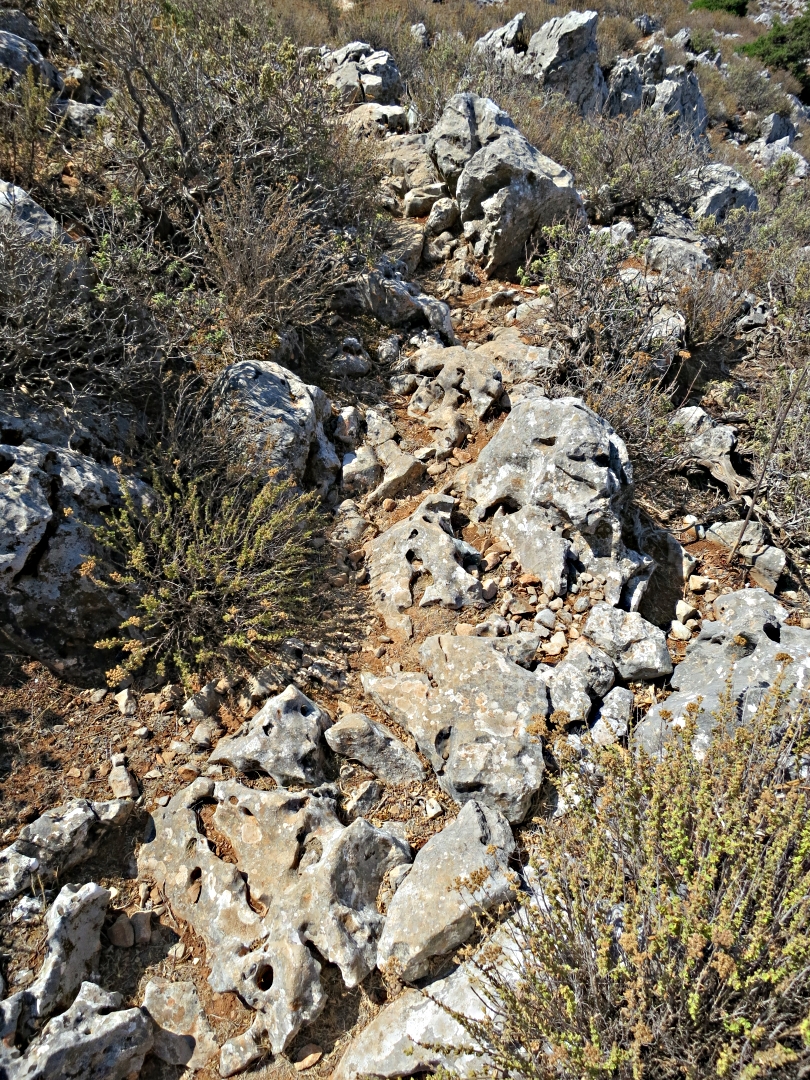
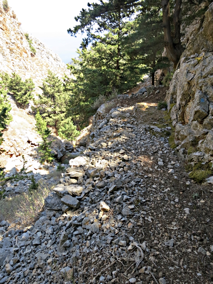
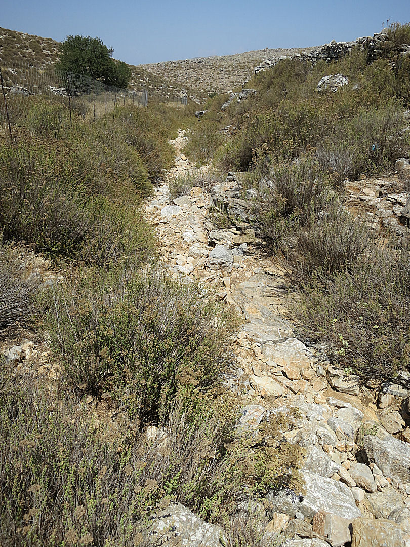
From the monastery the narrow path picking its way along the rocky mountainside is never devoid of interest, particularly at the beginning of October with the exquisite, shy heads of Biarum marmarensis poking up between the rocks. Towards the end of September there seemed to have been a mass migration of goats as a suddenly well-trodden trail comes down from the ridge onto the path just beyond the monastery and follows it for a while. Two effects of this were that a section of the path to Gria became easier to identify, and quite a few of the Biarums were munched.

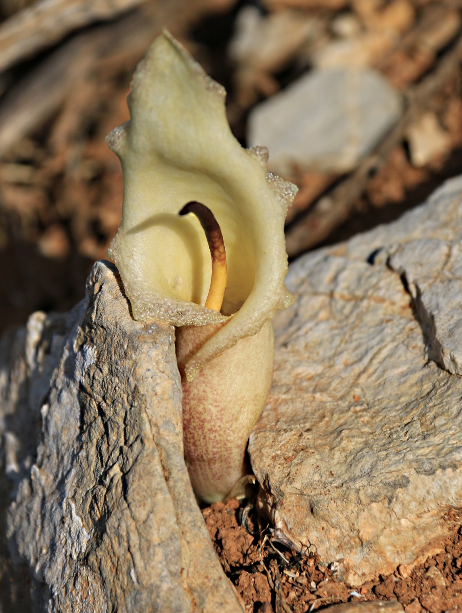
Biarum marmarisense
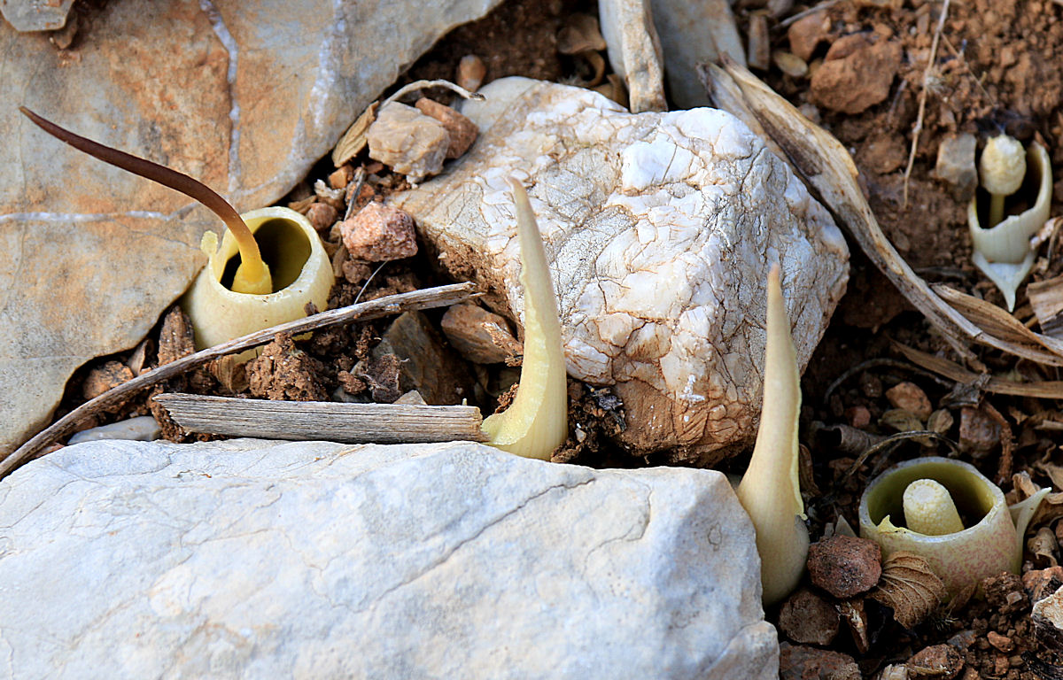
………… munched by goats along a migration route
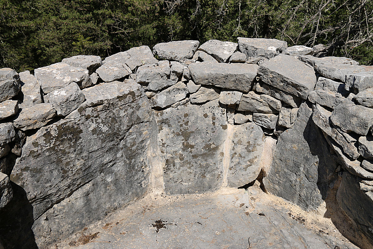
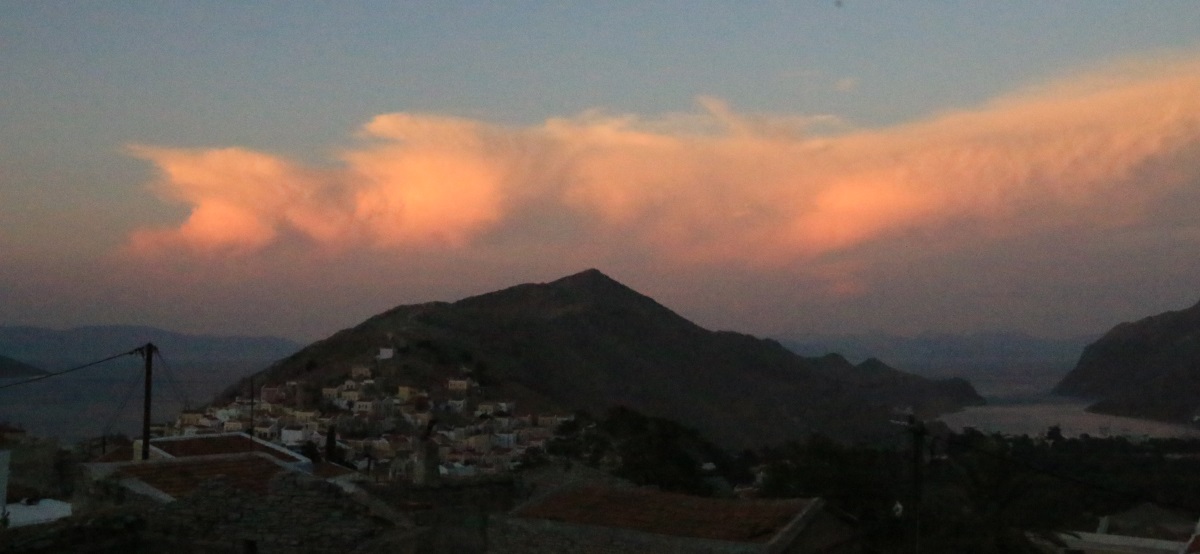
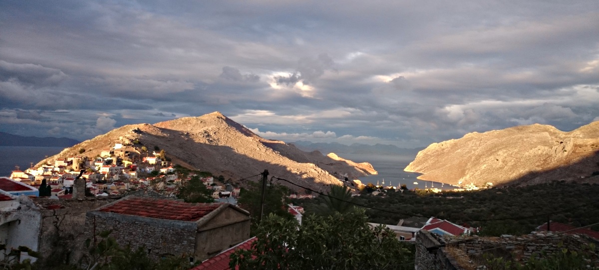
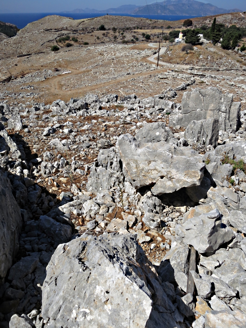
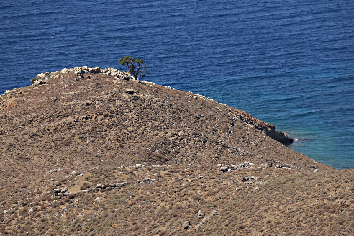
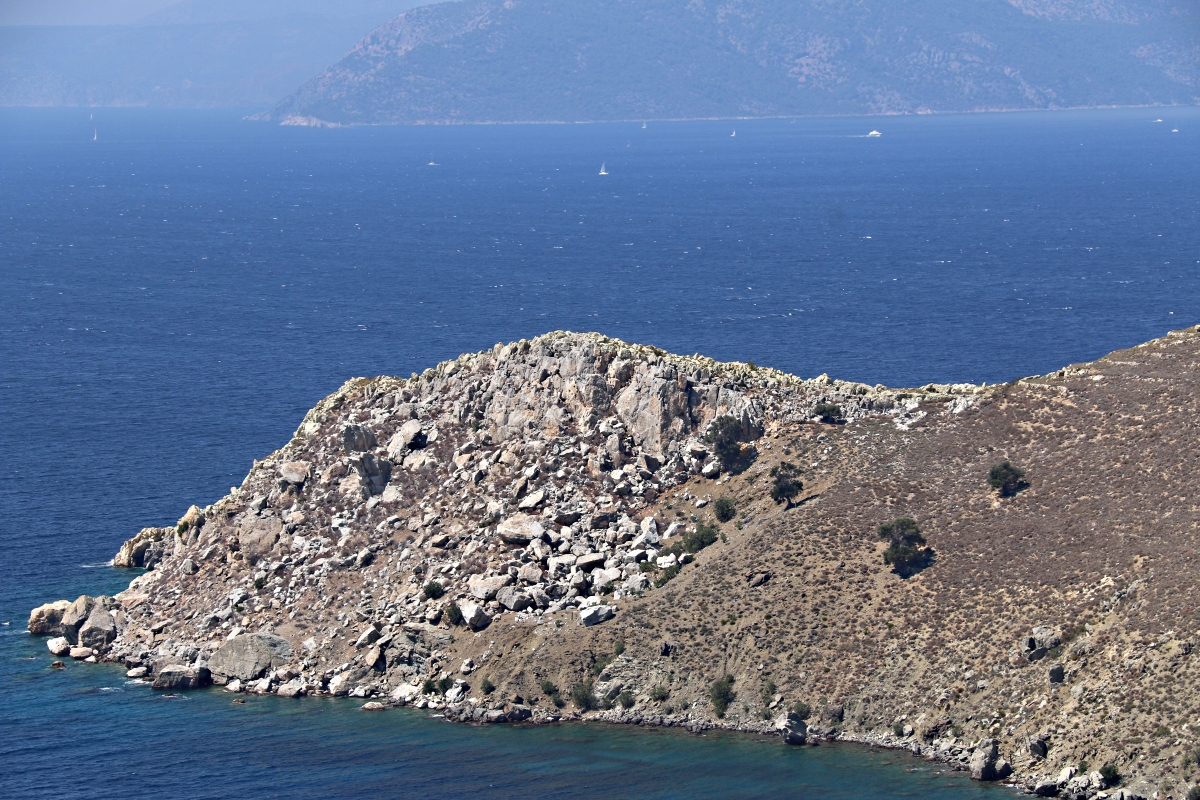
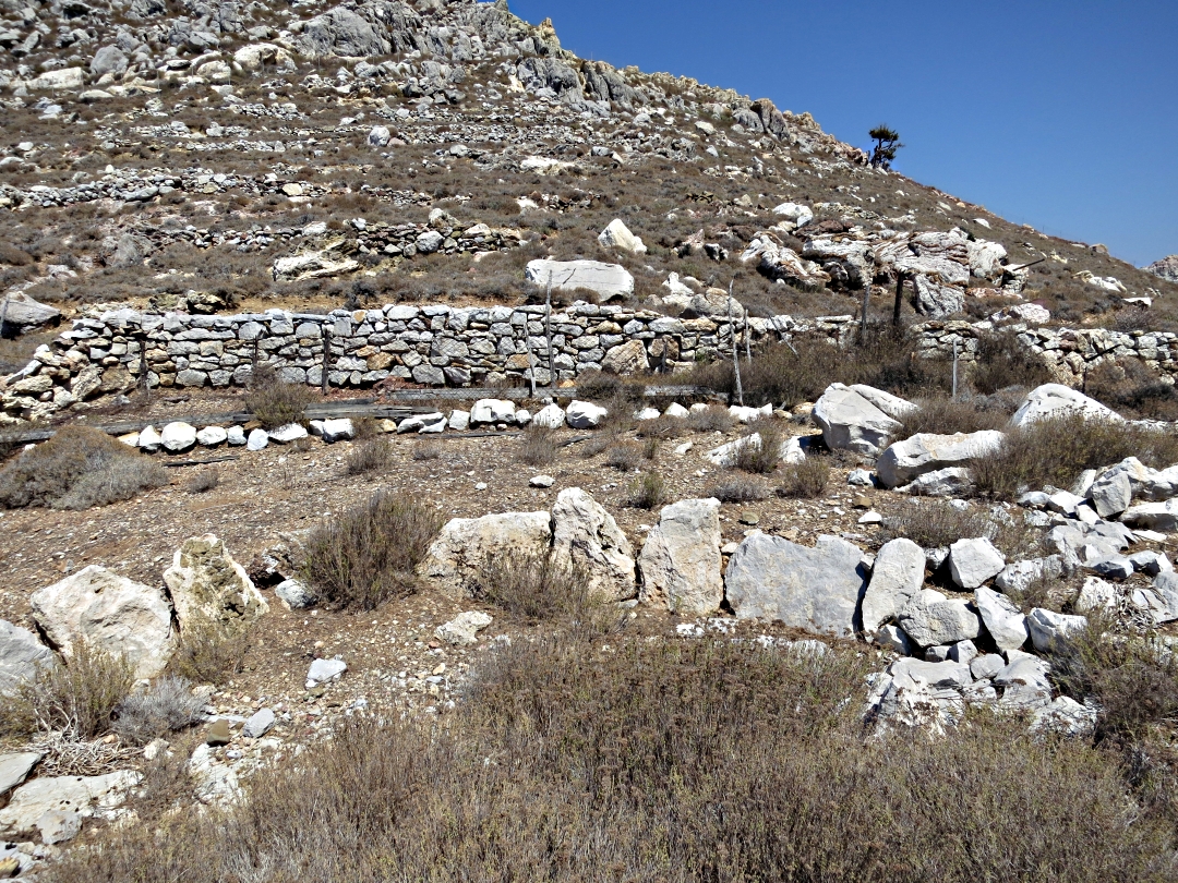
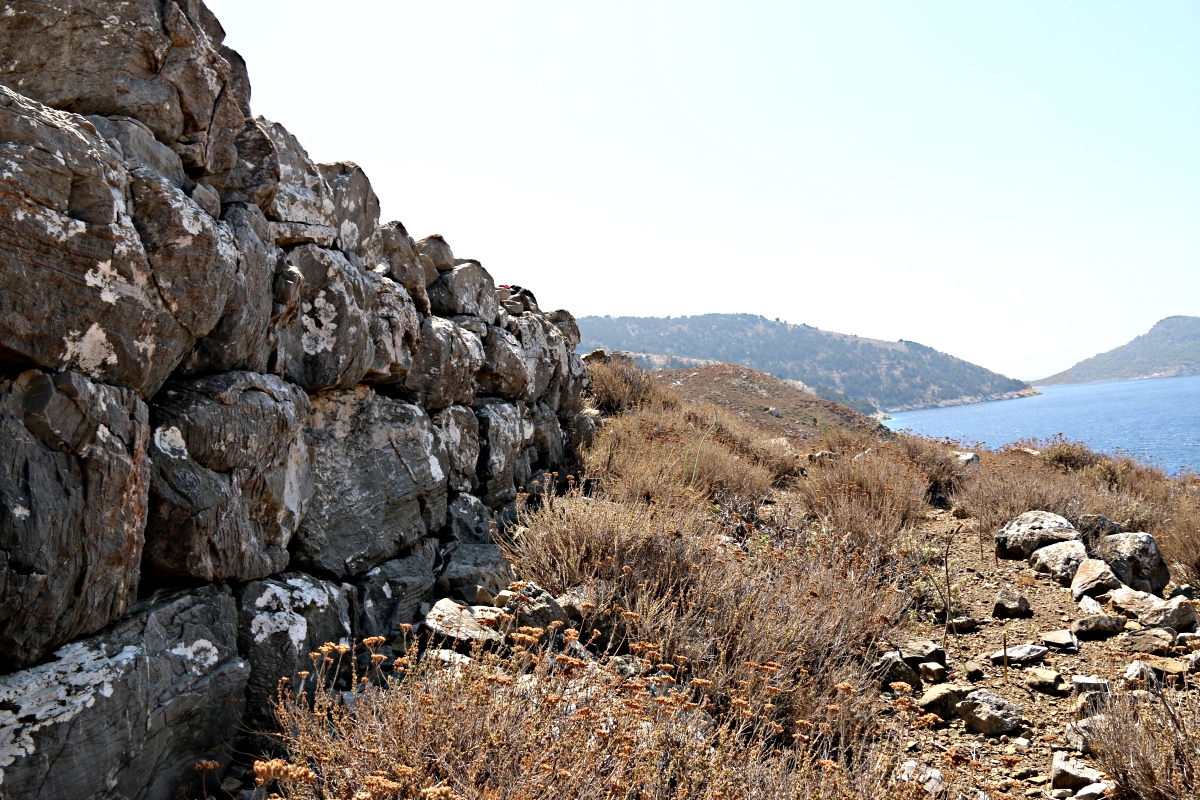
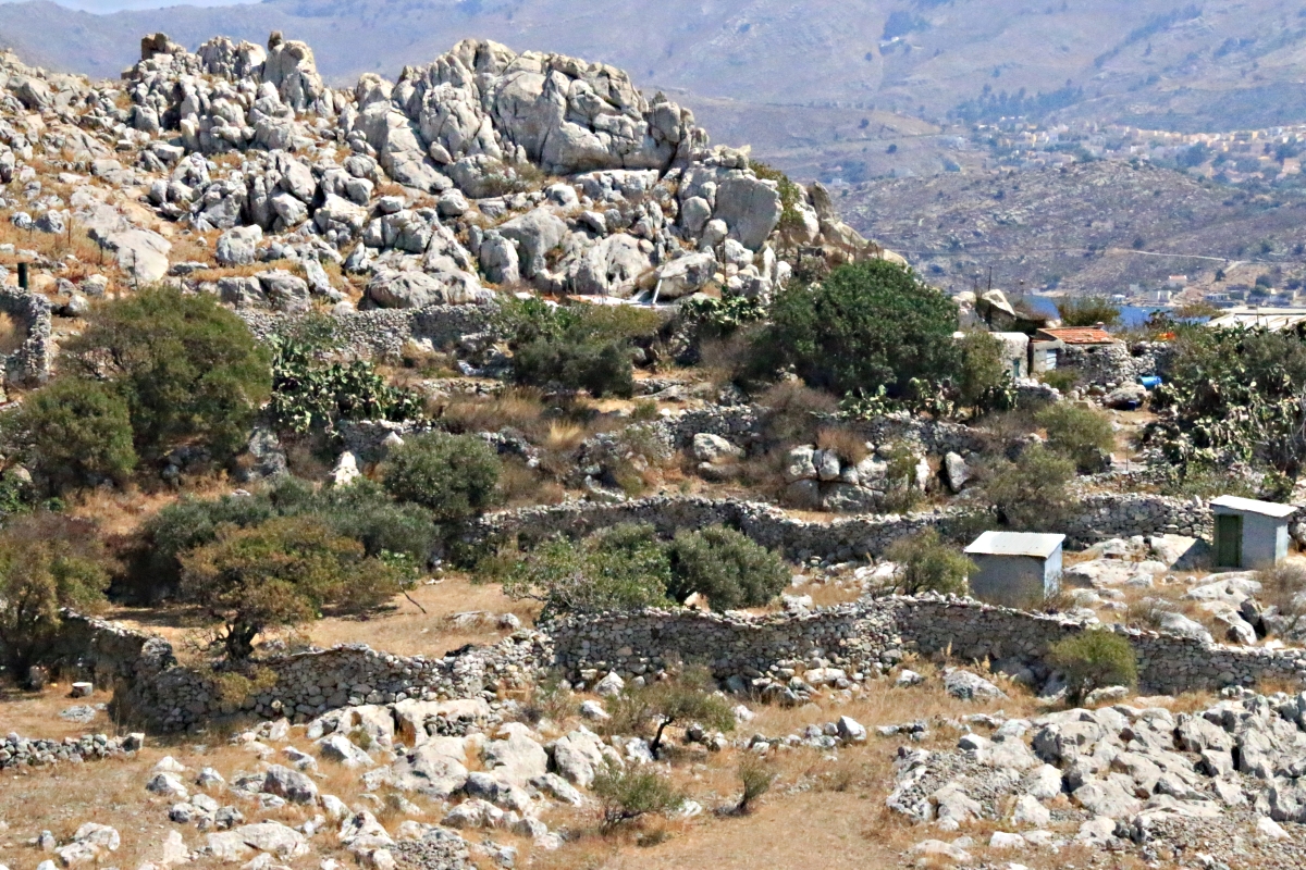
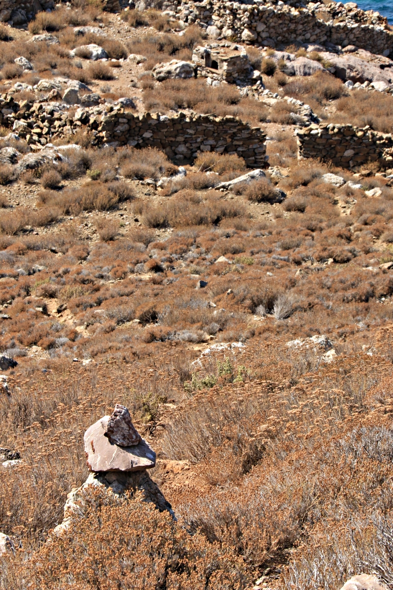
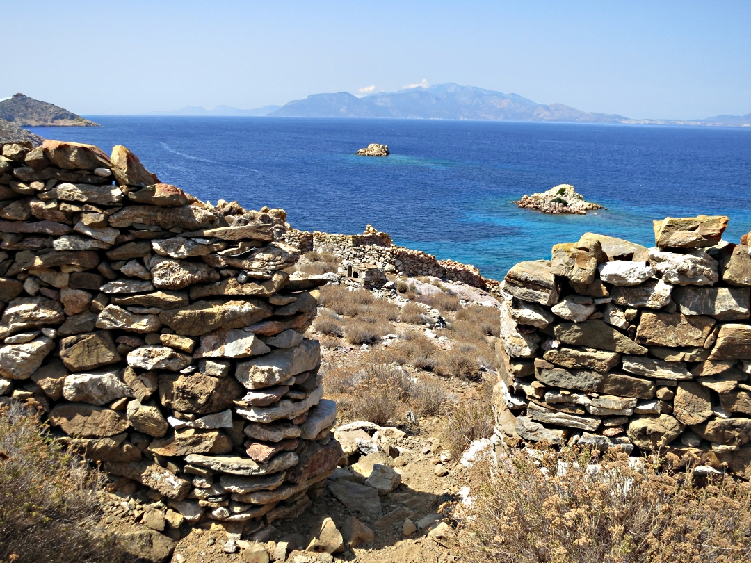
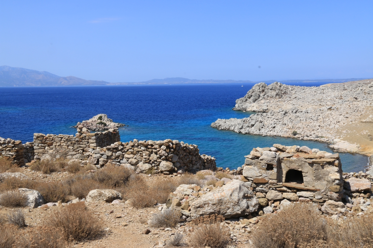
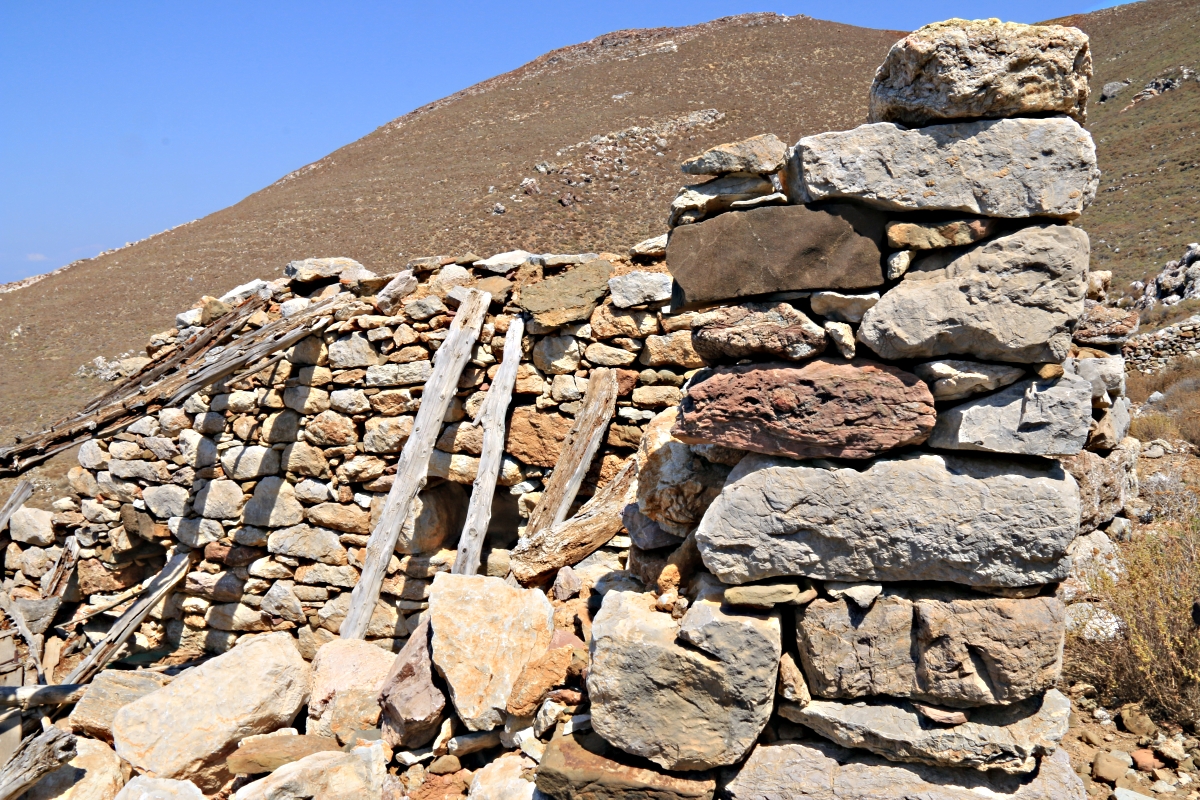
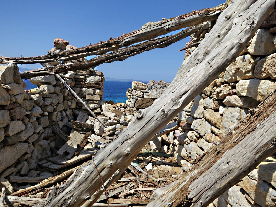
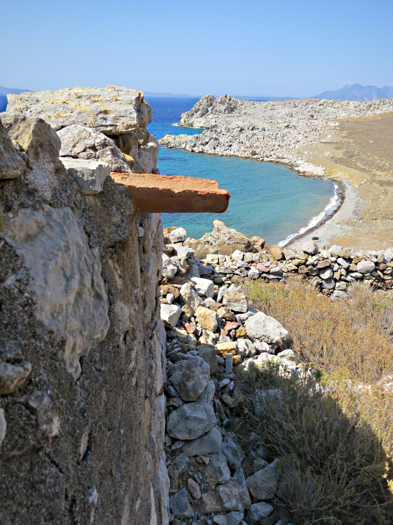
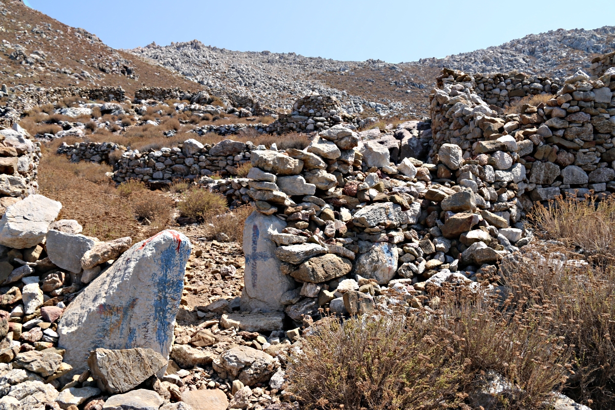
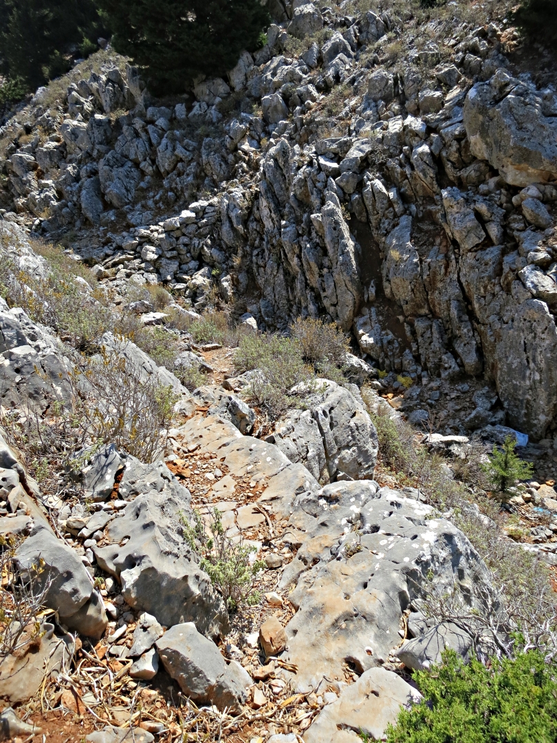
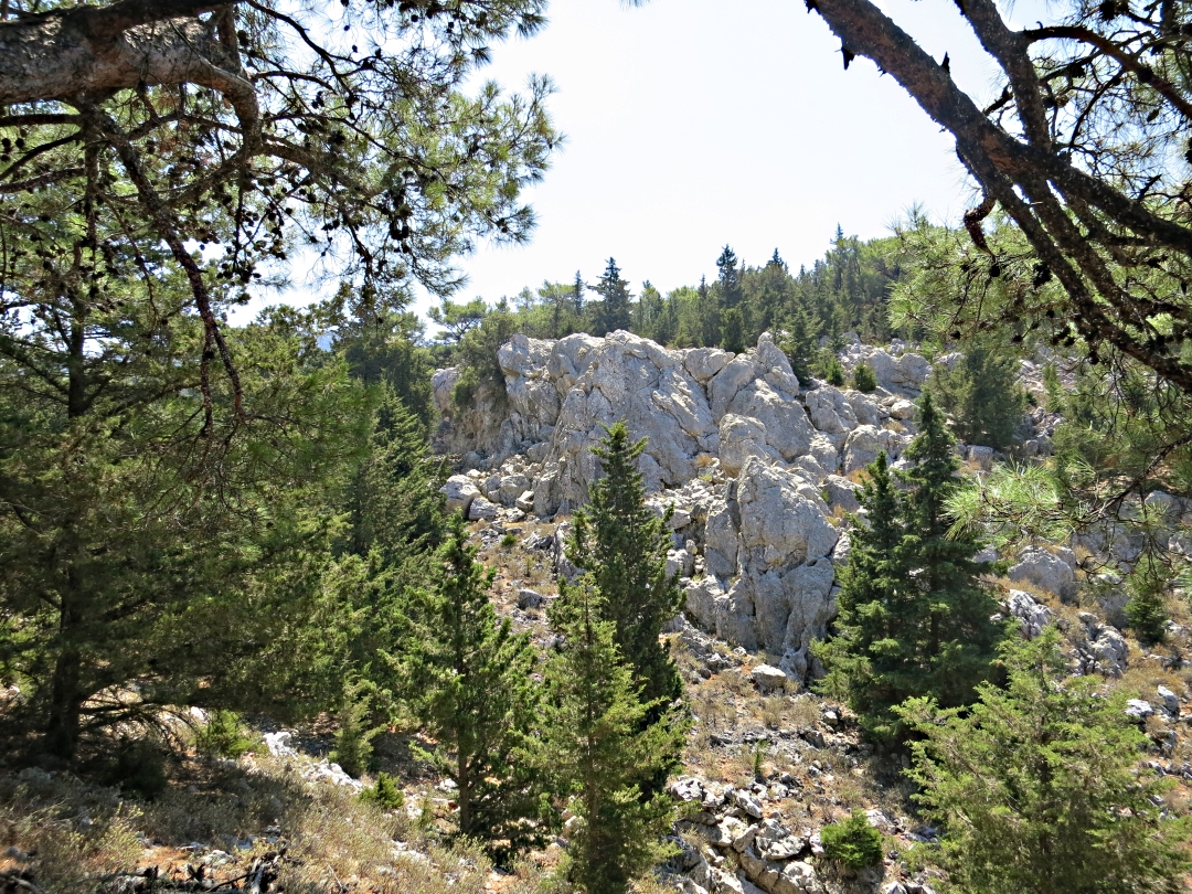
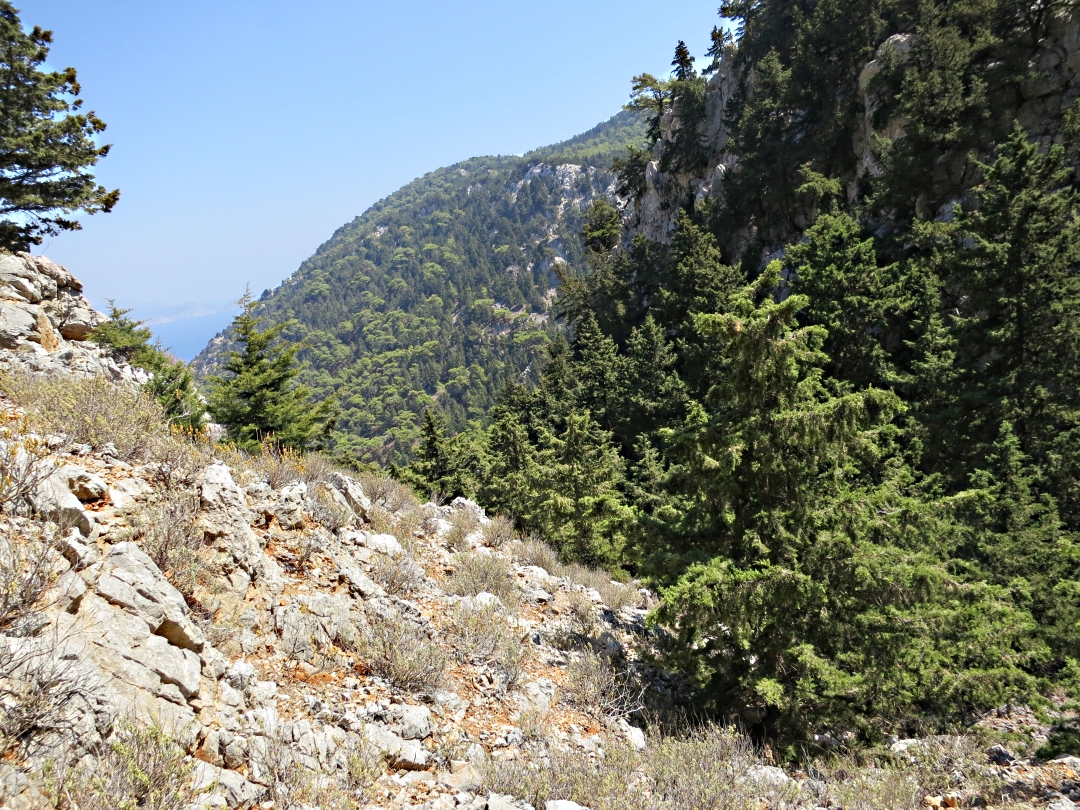
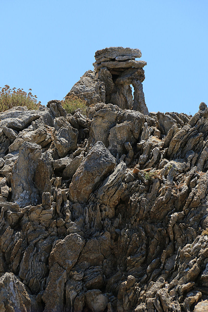
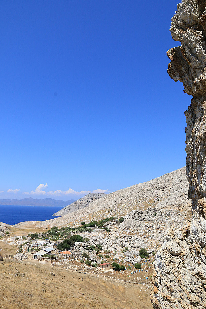
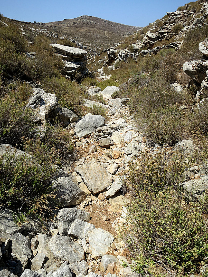
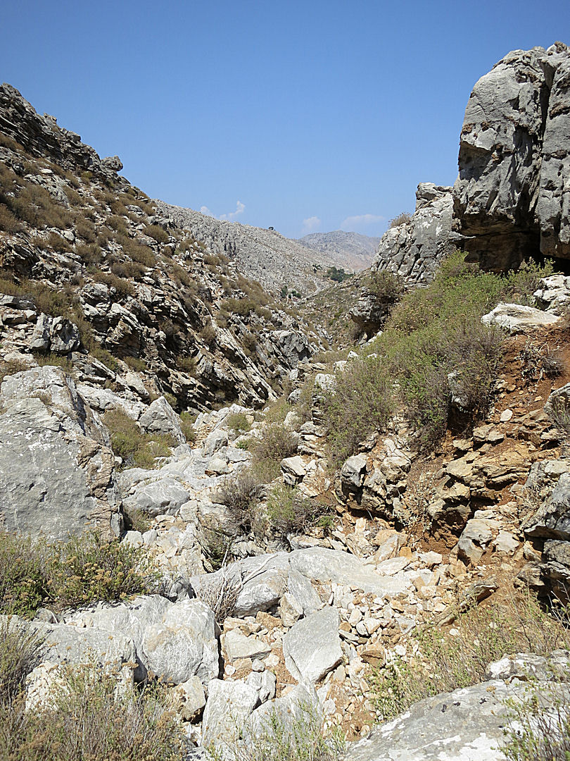
One of the reasons for going back to Gria was simply that it is a very enjoyable short trek in the mountains and the setting is spectacular.

Spectacular view of Pedi from the crags into which the deserted village is set
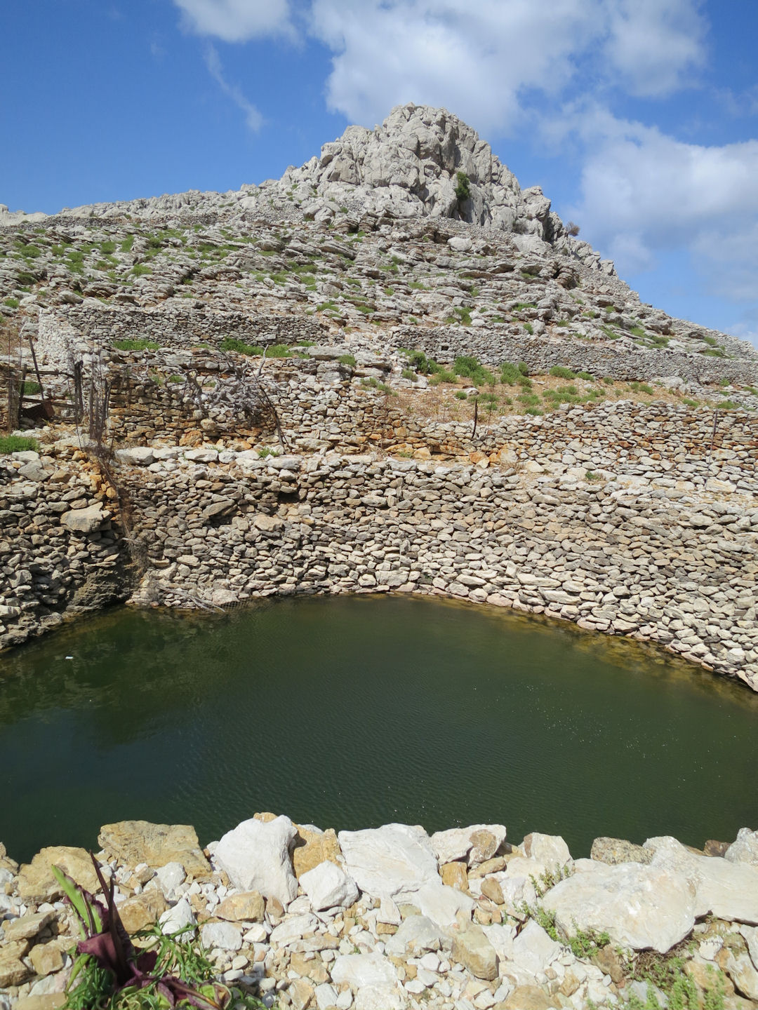
Another reason was growing concern about the rate at which the level of the pond has dropped. Apologies if the succession of photos below is tedious but I think it shows the scale of the problem
When I went up to the pond early in April I was struck by how low the water was, certainly compared with when I first went with my wife in 2001. Further visits in May and June showed the level dropping further.
Looking across the pond towards the crag on the far side, April 2014

Looking across the pond, June 2014, water level dropped slightly
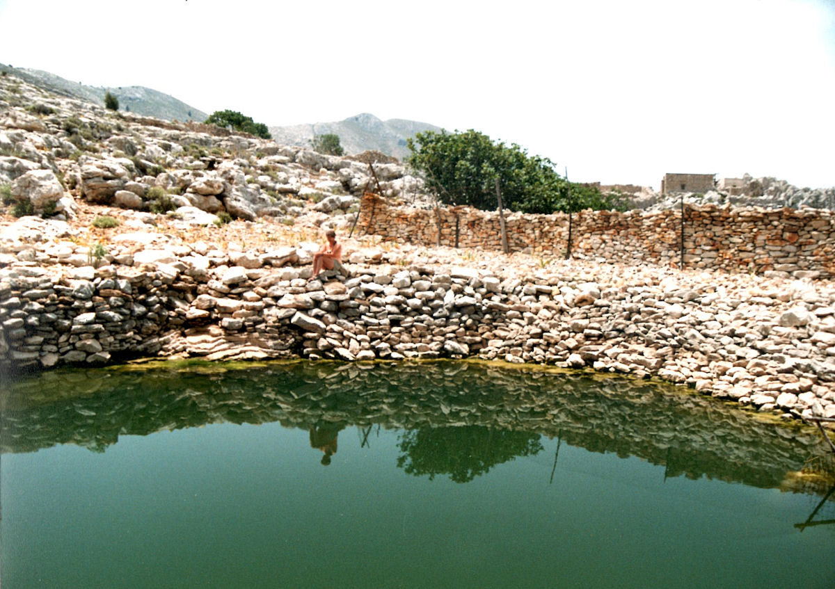
The pond as it was in 2001

The pond viewed from the top of the crag in June 2014, the 2001 level marked with a red line
By September the drop in levels was worrying and by the middle of October verging on alarming. It was far lower than towards the end of September last year which was itself significantly lower than previous years.

September 2013

September 2014

October 2014

Down at water level September 2014
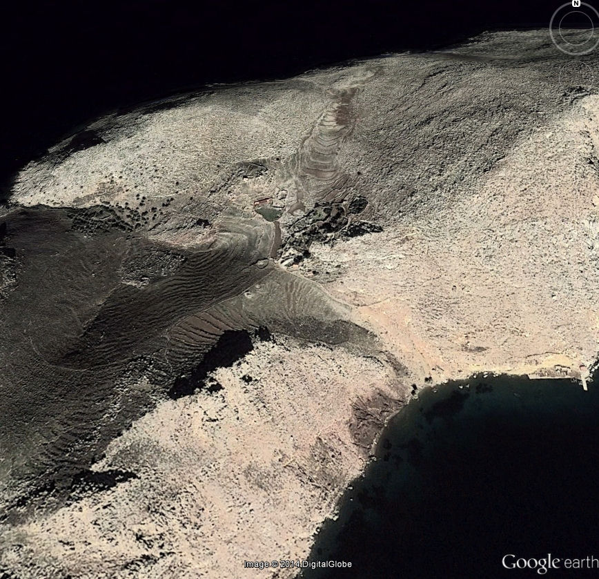
The assumption that this is simply caused by the level dropping during the summer due to evaporation to be replenished by winter rains doesn’t stand up to scrutiny. The pond cannot be fed by surface run-off, there simply isn’t enough rainfall, the catchment area is small, and the geology is in any case limestone through which water would soak. If the pond was due only to run-off it would be dry most of the year.
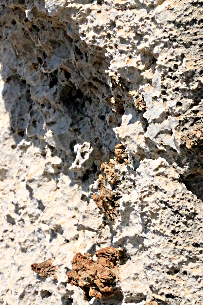
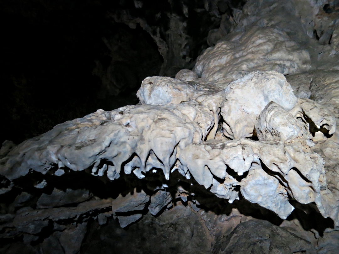
That water penetrates through the rock is clear from caves on the island which have calcite deposits but there is little rainfall, probably less than 24 inches a year (data varies widely and seems unreliable). The three summer months have virtually no rain at all.

Inside Skordalos cave, water drips very slowly from a calcite straw
It is most probable that the pond is maintained by spring water but whether that is from what falls on the island is debateable. It may be that it is driven by hydraulic pressure from the higher and more extensive mountains on the other side of the narrow channel which separates the island from Turkey. Whichever is the case it is clear that the aquifer is drying up, in all probability in response to a combination of reducing rainfall and water abstraction lowering the water table.
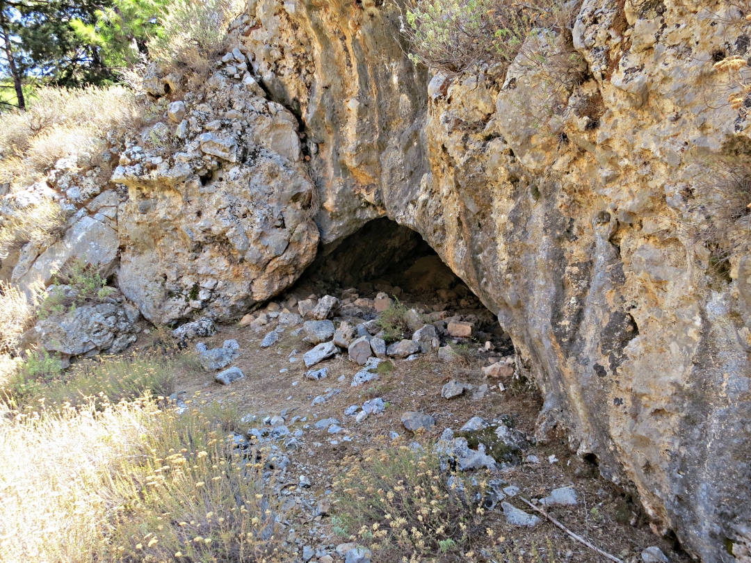
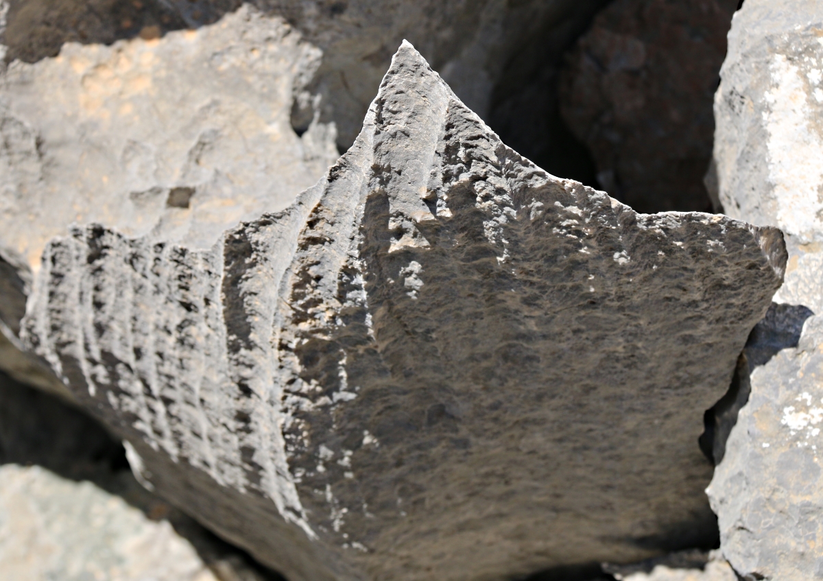
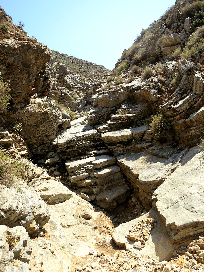
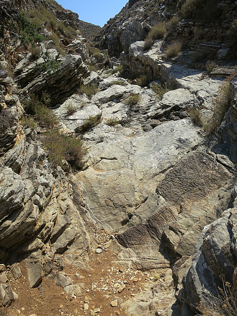
The level by mid October had dropped to the point where the rocks beneath the surface are just about visible, looking very much like the entrance to a cave system. If my plans to return to the island next year work out I shall be going back to see how things pan out.
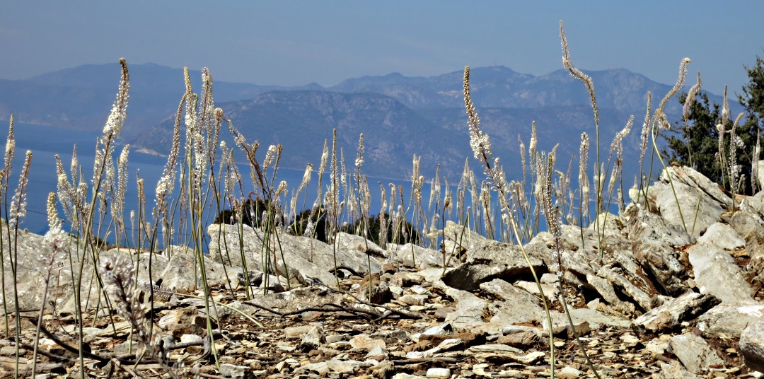
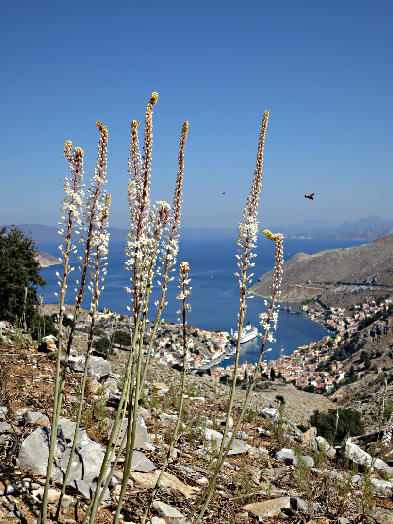
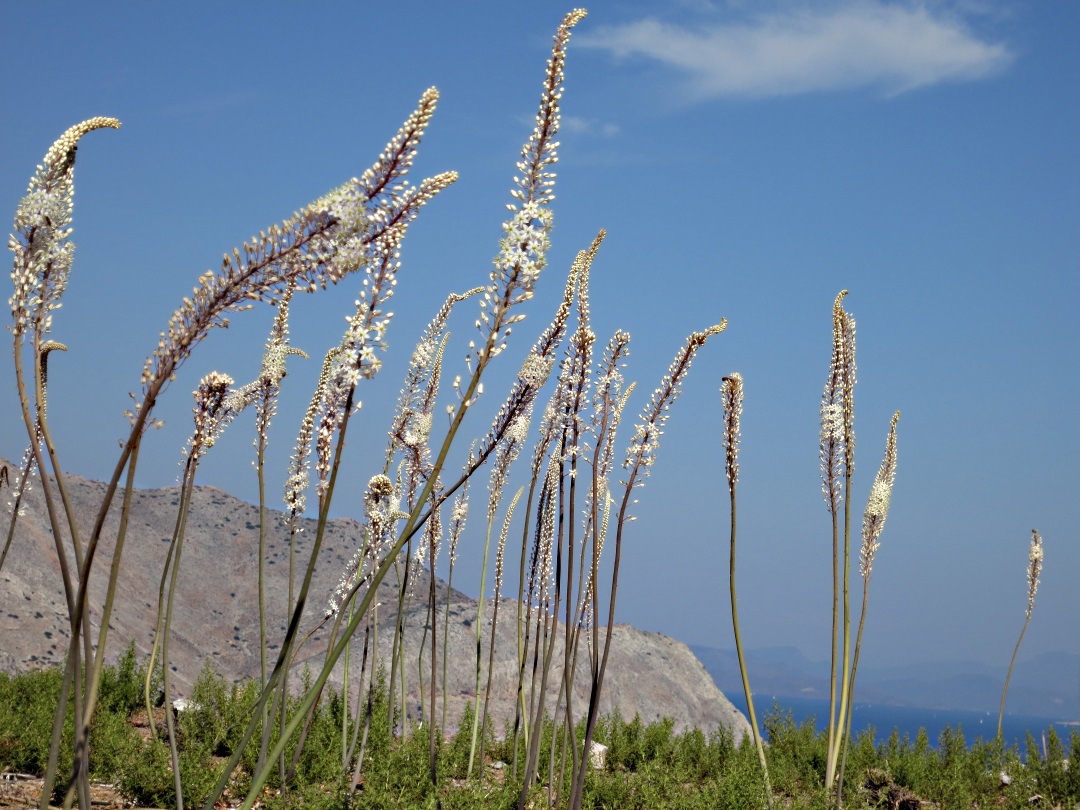
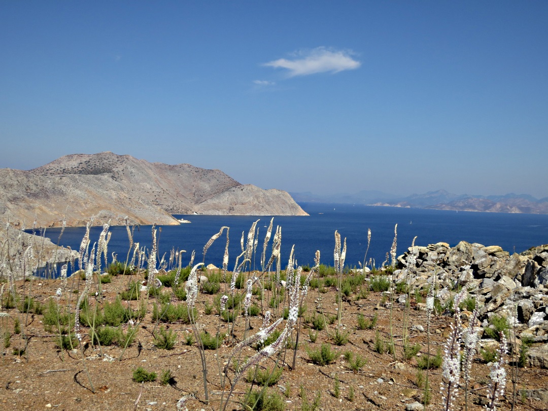
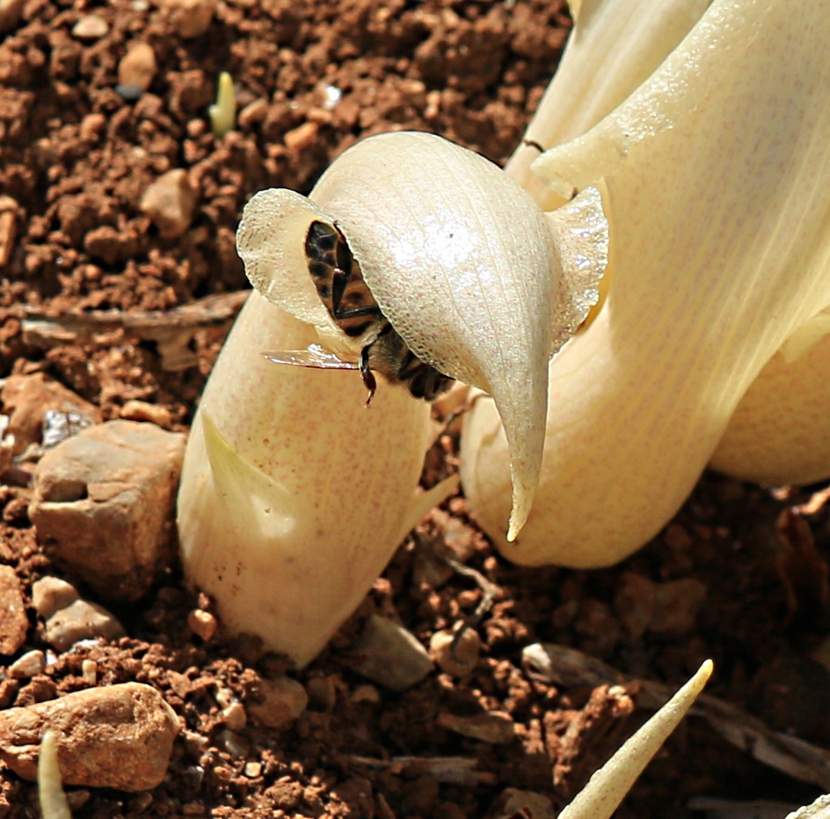
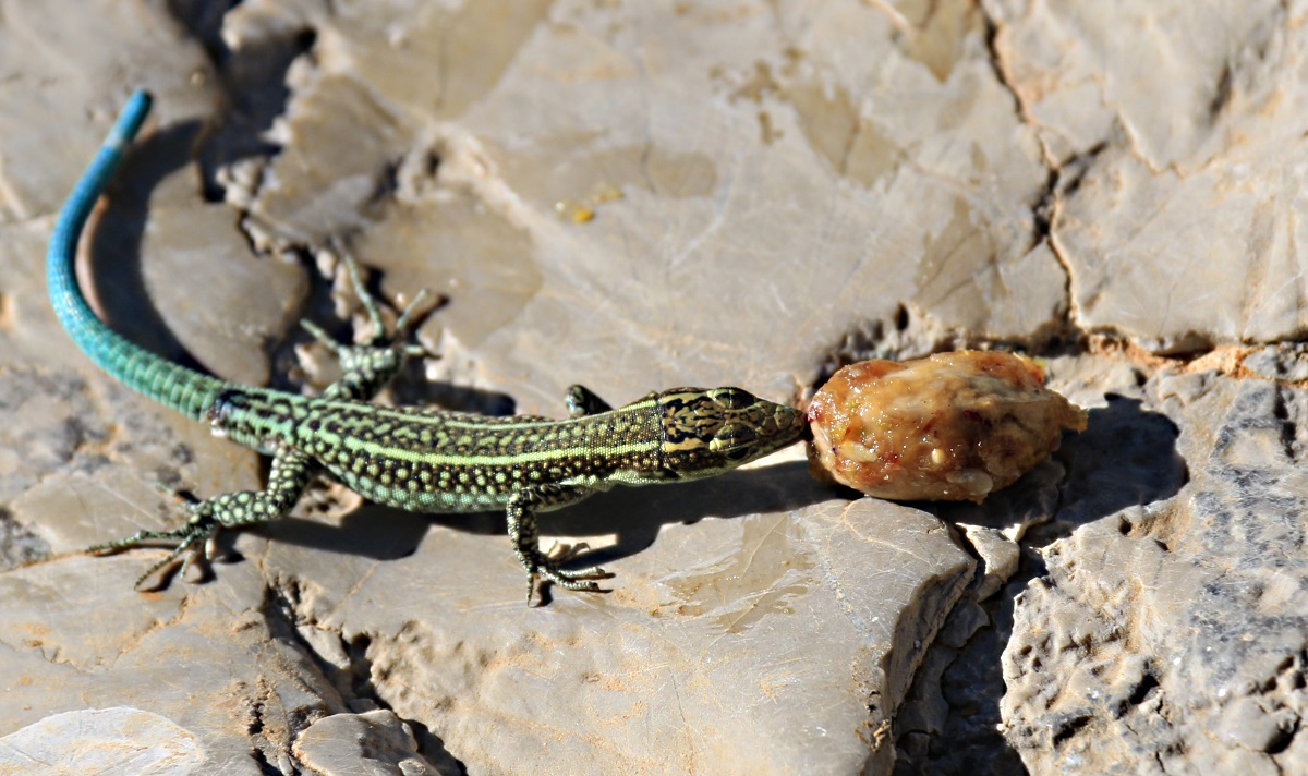
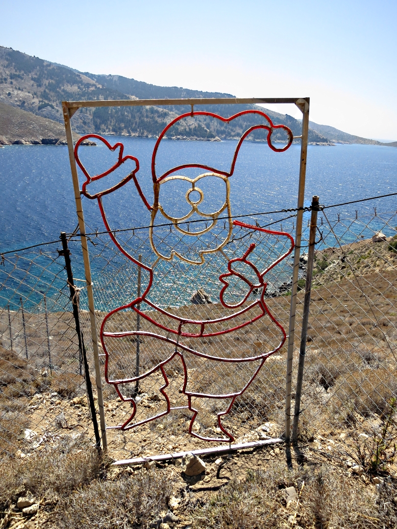
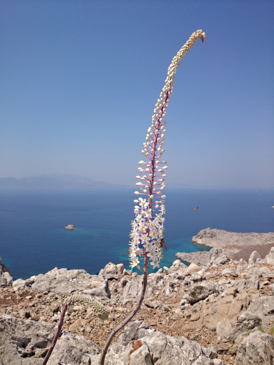
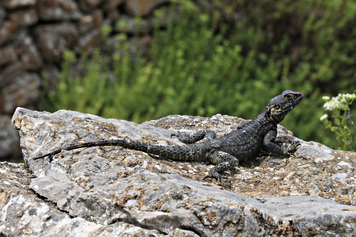
Like all ponds, that at Gria forms a unique habitat, all the more valuable on Symi because it is a waterhole in the middle of desert. In summer it is surrounded by arid soil and bare rock, only ultra drought resistant plants such as oregano, thyme and sage managing to survive, with bulbs such as squill and biarum putting in brief but spectacular seasonal appearance. The pond is essential for local fauna. Amphibians such as the Green Toad lay spawn, dragonflies lay their eggs and hornets congregate. Lizards, snakes and the rats they feed on put in an occasional appearance.

Female dragonflies lay their eggs from a rusty fence, well above water-level by September

….. and so was the rock slab

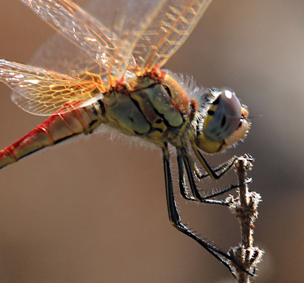
Showing then red-veins in the wings which give the dragonfly its name
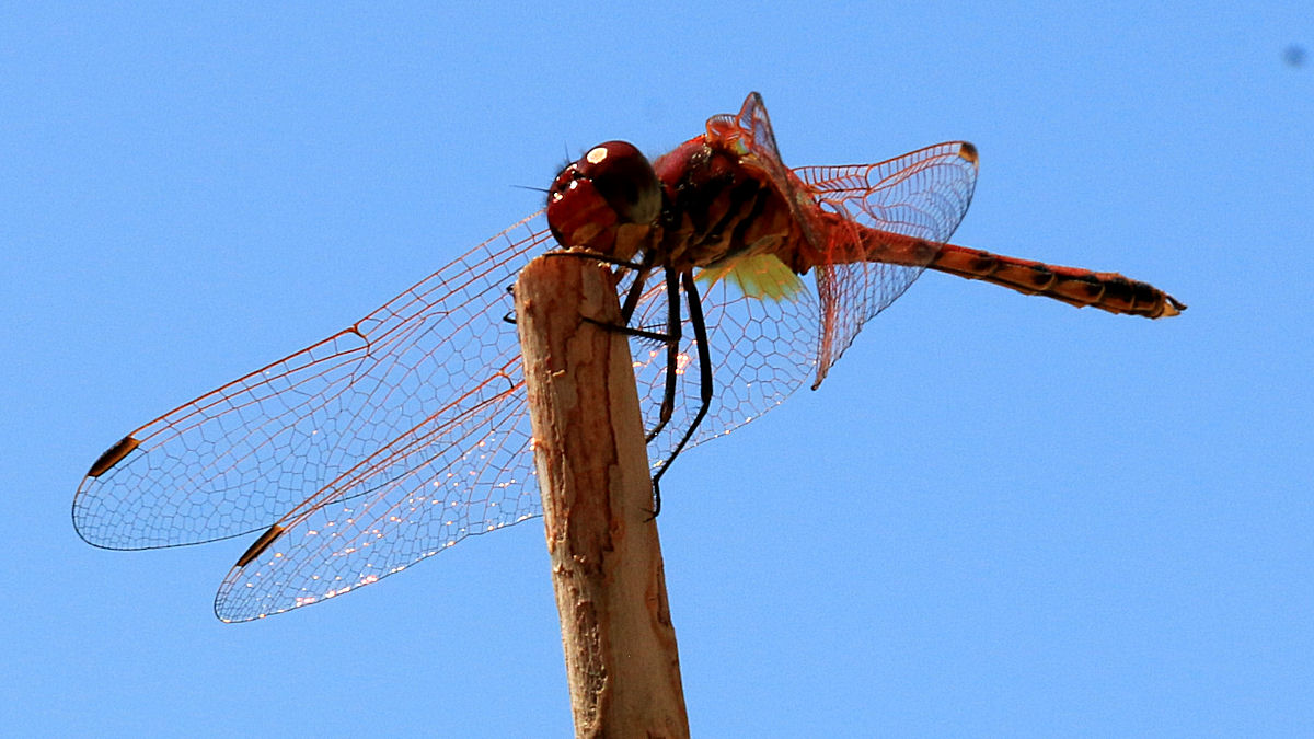
Disporting himself on a stick, a male showing the yellow at the base of the wings which helps distinguish it from other red dragonflies
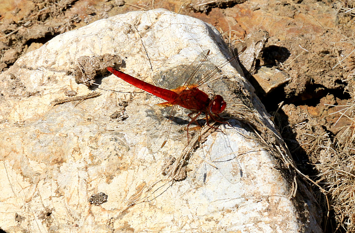
Red-veined Darter on a rock now away from the water

Male and female Red-veined Darters fly in tandem to allow the female to lay eggs in the water. The haphazard movement means I failed to focus properly, the result being an impressionistic scene

Green toads doing what comes naturally on a rock in May 2014, high above water level in October

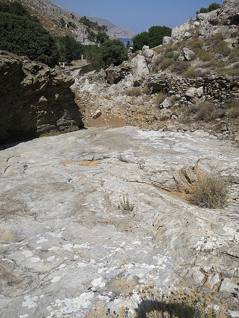
When I landed here I was right at the waters’ edge. Someone has pulled the plug out!
x