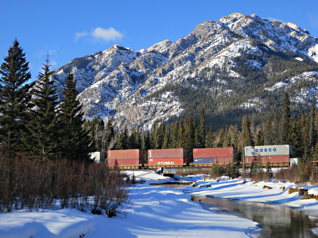
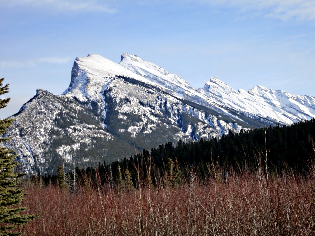
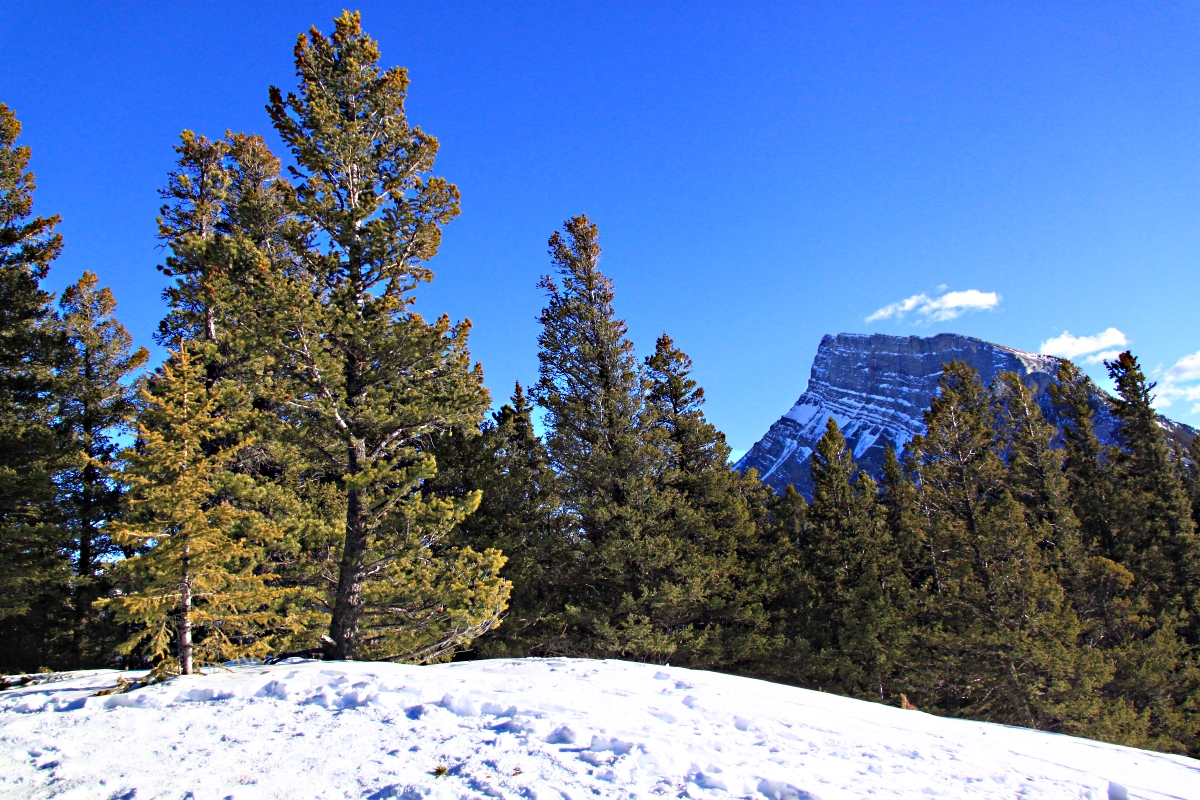
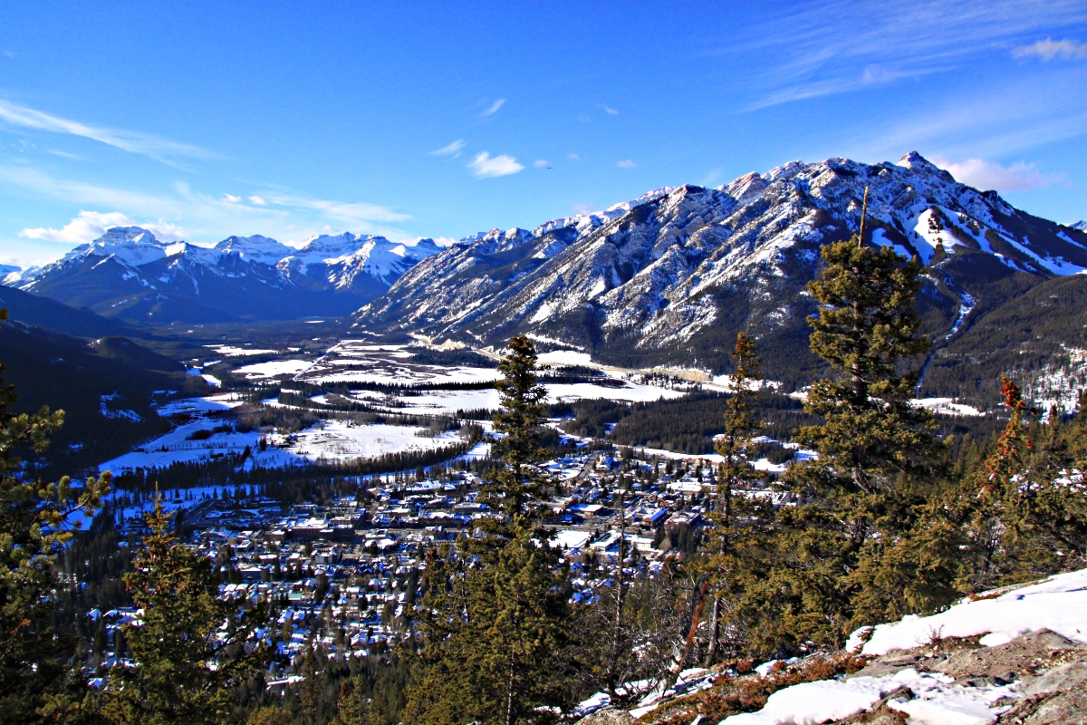
The principle legacies of what is now known as ‘The Cave and Basin’, the location of the original Banff thermal springs, are not insignificant. They include the town of Banff itself, Banff National Park, and the other 42 National Parks in Canada. The ‘discovery’ of the thermal springs by the McCardell brothers and Frank McCabe in 1883 post-dated knowledge of it by the First Nation peoples of Canada many millennia earlier. However, the McCardells and McCabe fenced it off, seeing a money-making opportunity, but their ambition was thwarted by the Canadian Government which also saw its tourist potential as a source of revenue for the Canadian Pacific Railroad, designating it as the ‘Hot Springs Reserve’ in 1885. This and the rest is well documented history, not least by Parks Canada.
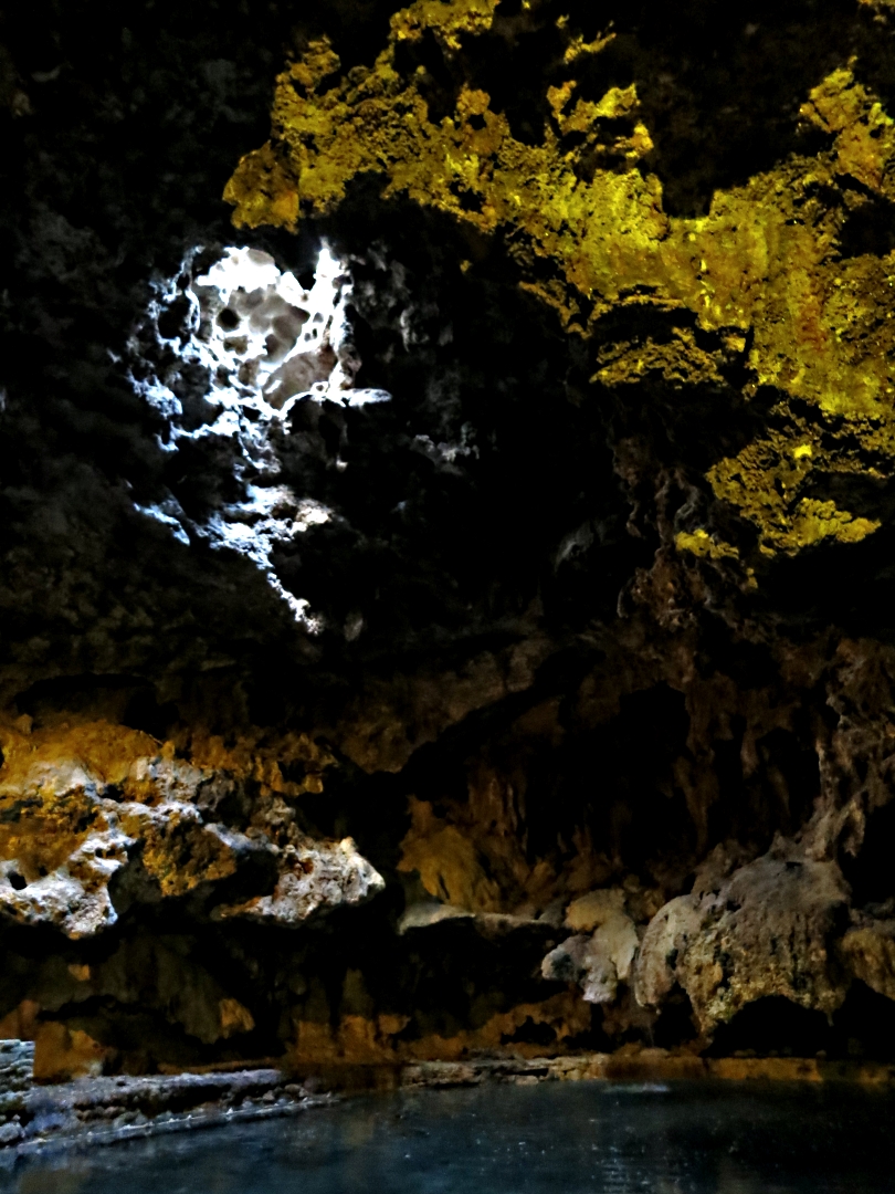
Inside the Cave
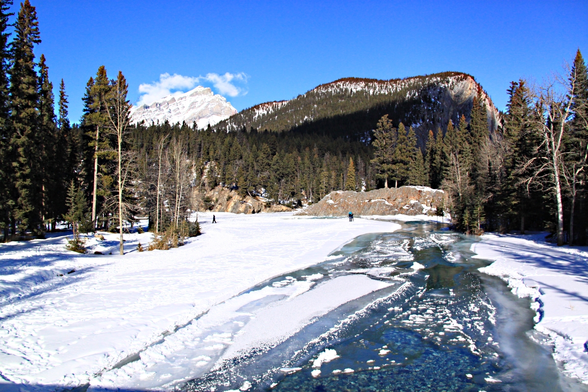
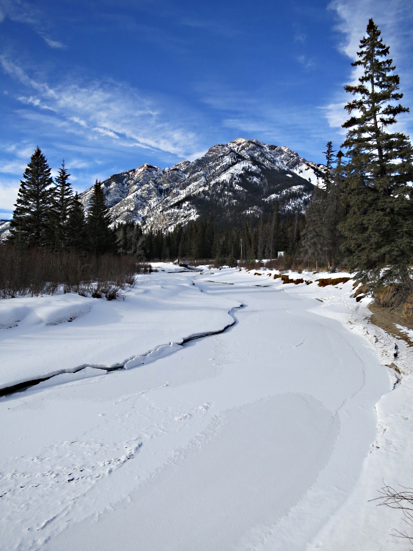
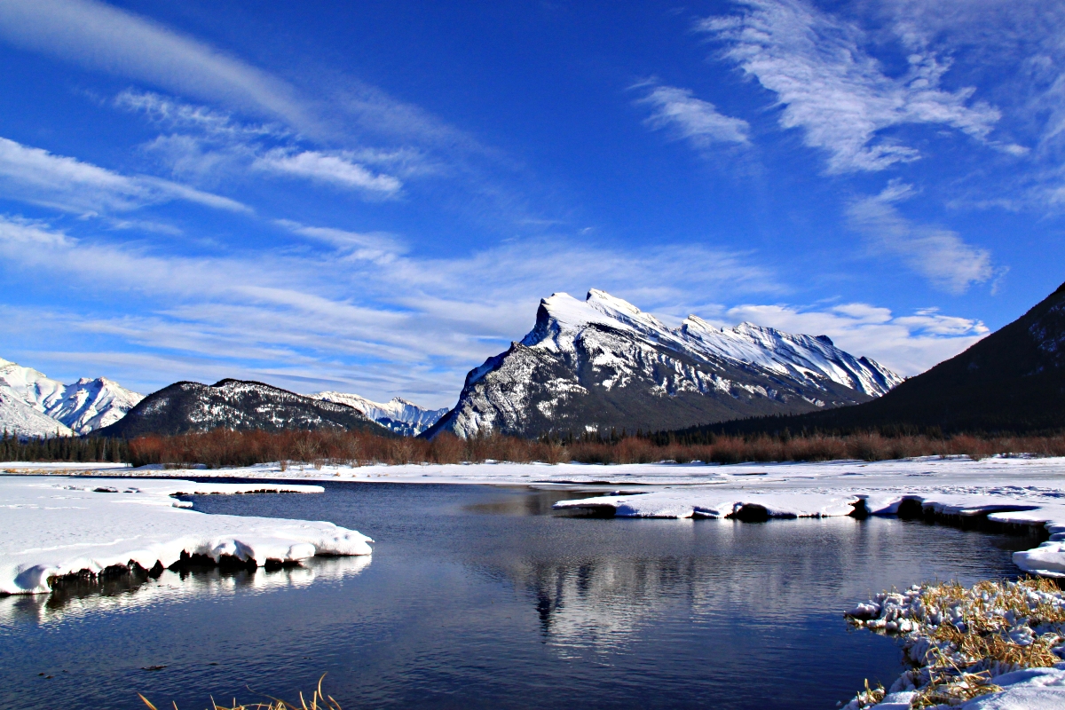
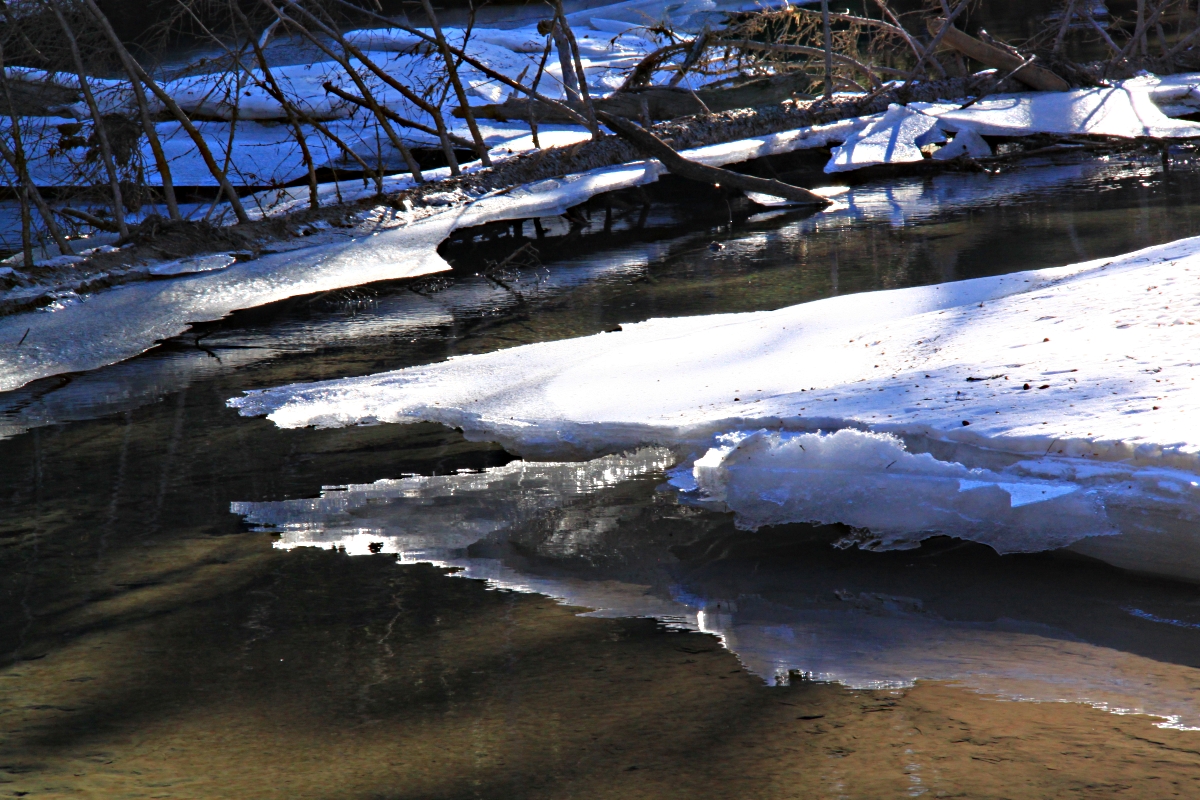
The site is also of not inconsiderable ecological value. The springs emerge from the mountainside and drain into the marshland bordering the Bow River and set up a unique habitat. The Banff Springs Snail, found only here, is classed as ‘endangered’. Thankfully, there are control measures in place to protect it, measures which preclude poking around in the water to find it.
Not so the Banff longnose dace whose distribution was restricted to the small pools in the marsh fed by these thermal springs, and is now designated ‘extinct’, unable to compete with exotic and tropical species such as the Mosquito fish, introduced in the 1920’s to try to control swarms of the eponymous insects by eating their larvae. The Mosquito fish did indeed eat their namesakes’ larvae but only in small quantities, preferring other food including the unhatched eggs of the unfortunate Banff longnose dace. Another example of bio-engineering gone wrong. There were plenty of minnow-sized fish in the open water of the pools where the springs reached the marshland, though I couldn’t begin to identify them as they flitted around like shadows in water which I suspect never freezes over. It is probable that they were Mosquito fish, the most common of the 3 exotic species listed on the ‘interpretation’ board.
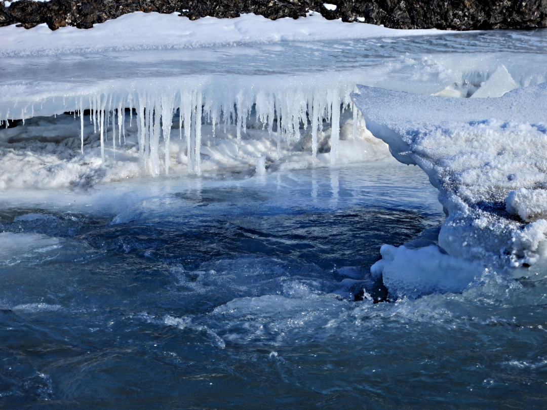
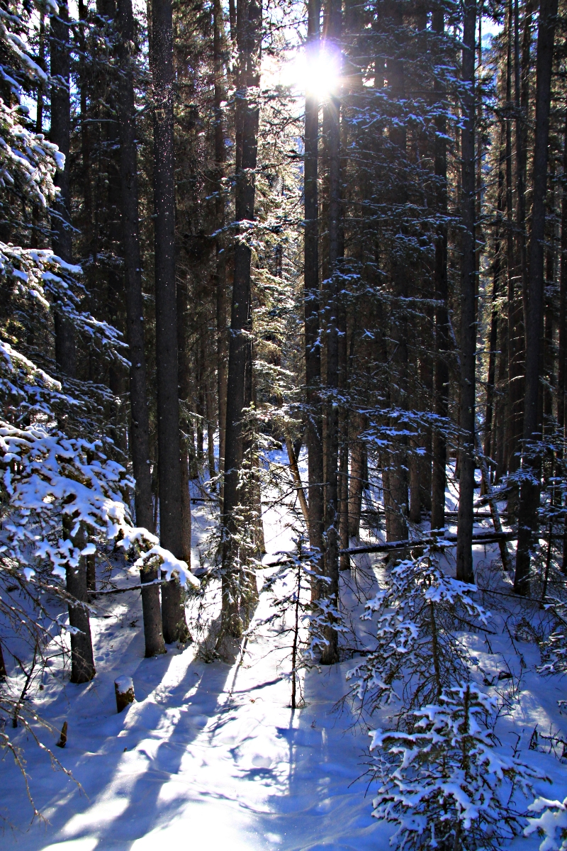
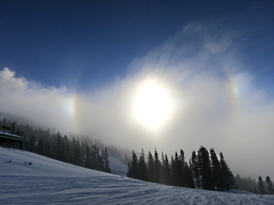
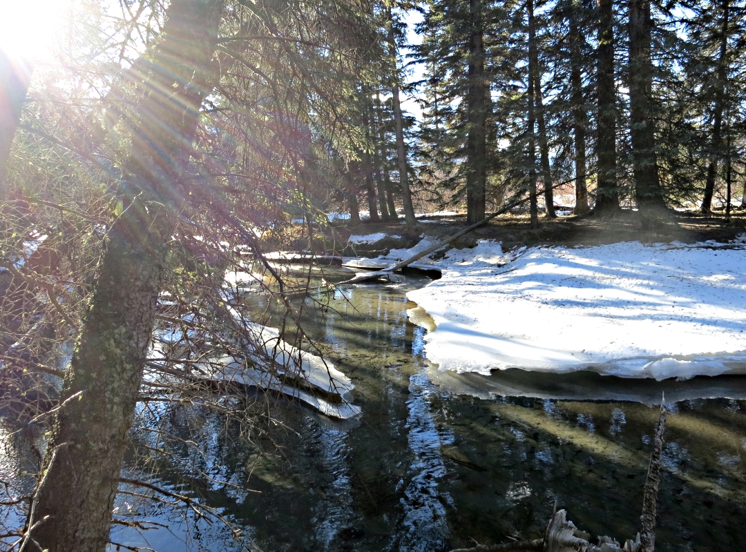
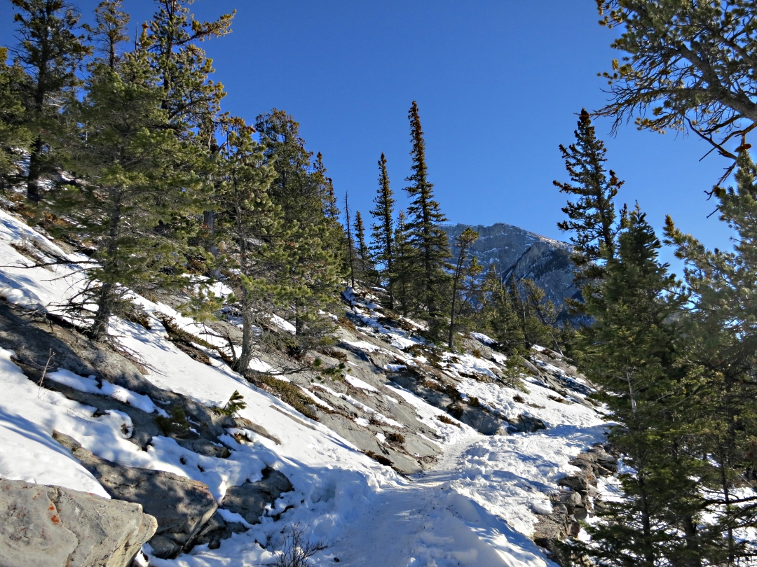
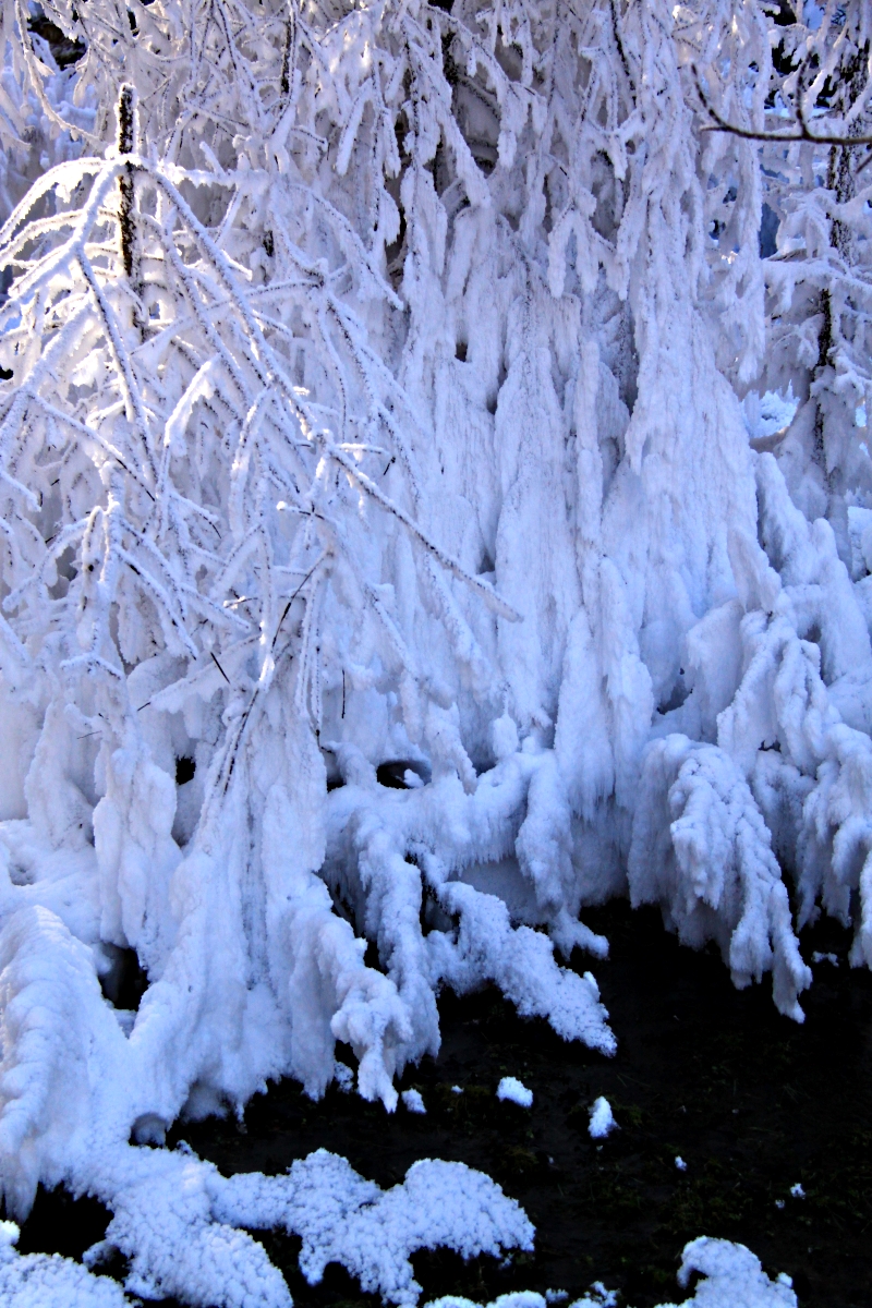
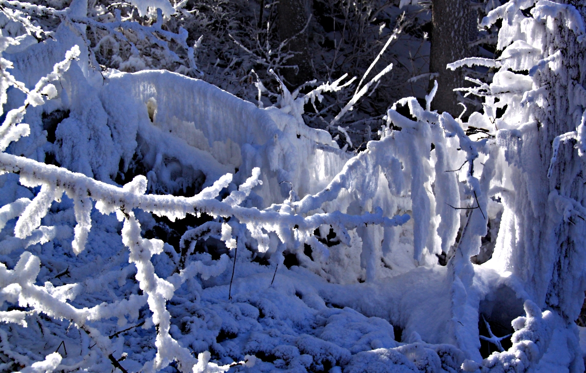
However, though I wanted to visit the Cave and Basin for its historical and ecological importance I had a much more prosaic reason. What particularly interested me was the amazing microclimate which is created. In very cold weather, such as experienced recently, clouds of water vapour can be seen rising from the springs as the hot water trickles down the hillside and this freezes in thick hoar frost over the vegetation. With no snow in recent weeks to cloak the trees, the effect is very evident. Paradoxically, it creates a strange frozen world above the steaming water.
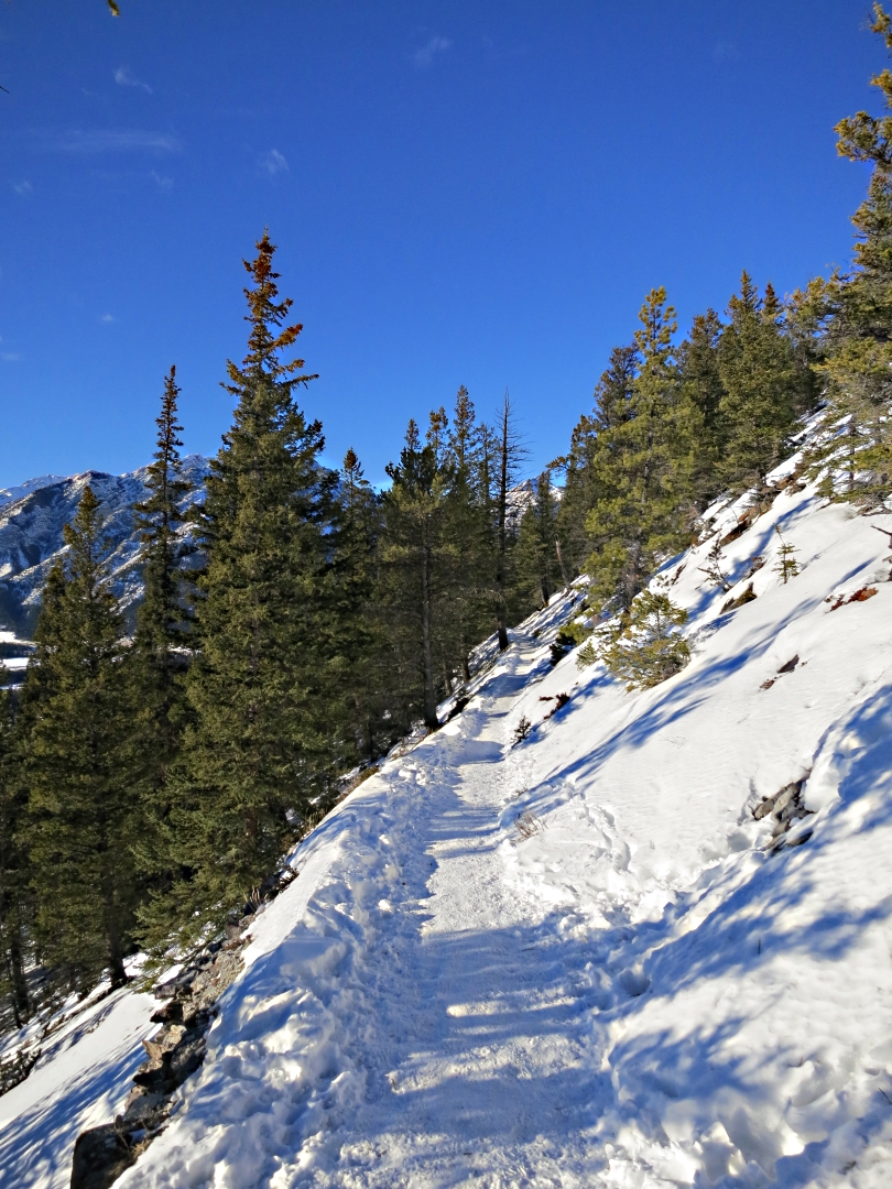
Approaching the marsh along the trail from the Recreation Ground, steam billowing up

View of the marsh from one of the boardwalks, hazy through the steam, low vegetation turned white

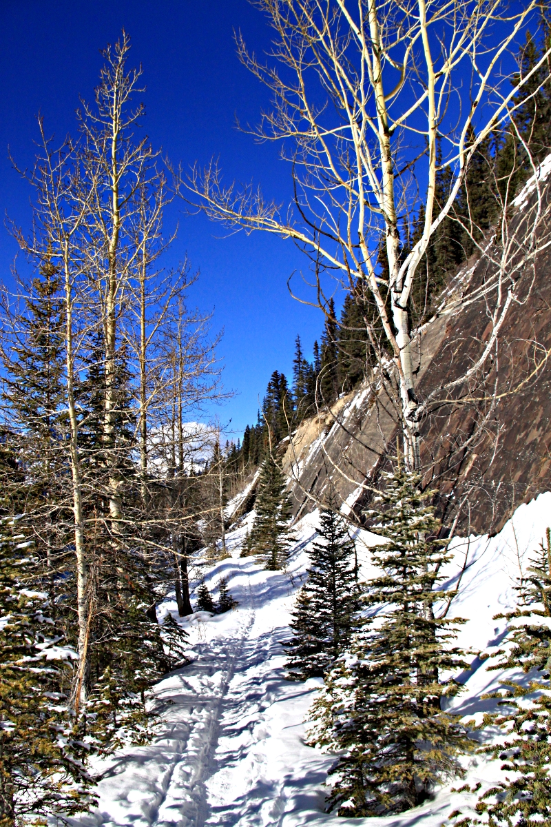
In deep shade, the trail enters a frozen world.
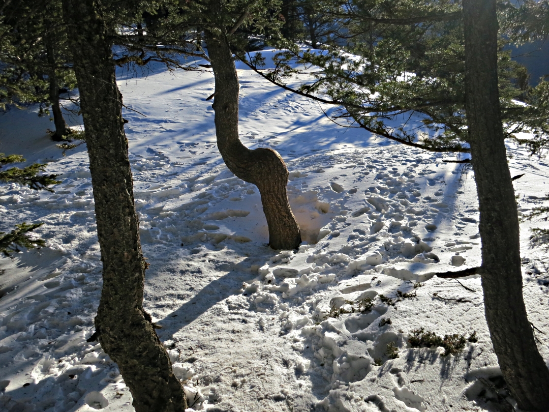
Sinewy tree bends towards the water under the weight of hoar frost

Branches standing erect, thick with frost even in the sun
Branches draped with frost

Steam from the trickling water illuminated by the sun

Dead tree thick with frost, the water vapour all frozen out of the air before it reaches the height of the trees behind,
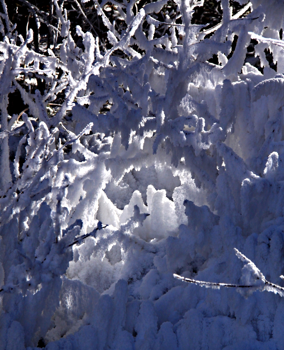
A hoar frost grotto

Like gel on a spiky hairstyle

Roots of a dead tree draped with curtains of frost

Rose hips still cling on, lit by the sun

Dead tree still standing proud

Backlit
x