It isn’t often that I contradict myself so quickly. Not that I’ve changed my mind, just that I’m putting a different slant on things. In the last blog I disparaged the old Taoist saying that “the journey is the reward”, now I’m going to endorse it.
I was writing then about long distance, high speed travel and my views on that haven’t changed one bit. It’s necessary but not enjoyable. However, it is unlikely that the Old Taoist philosopher had the benefit of air travel. His context would have been plodding from one end of Asia to the other on foot. Therein lies the difference.
On foot you get to see far more than zooming around by plane, train or car. To appreciate a place you need to walk, a view endorsed by such eminent travel writers as Bruce Chatwin and Patrick Lee Fermor. A journey on foot is very much the reward
I arrived on Symi on Wednesday morning and spent the next three days trying to sort out practicalities, the most personally satisfying of which was to set up a MiFi in the house which, lacking a phone line, has no ADSL. As a techno-incompetent that was an achievement. Now I’m back on the internet so I can get all those SPAM e-mails again.
Come Saturday and I had to escape to the mountains. Cloudless sky, gentle breeze, perfect conditions. I set out to walk to Agios Vasilios and Lapathos beach on the other side of the island, a walk which I have done many times and written up to put on the internet for others. (see below) The walk is every bit as enjoyable as the destination. I have been there by boat and it somehow demeans the experience of the place.
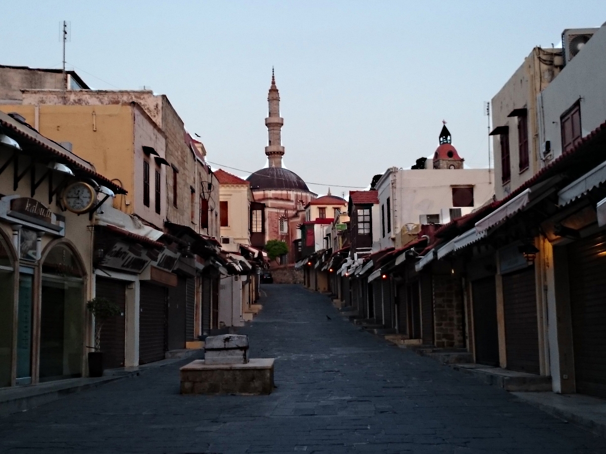
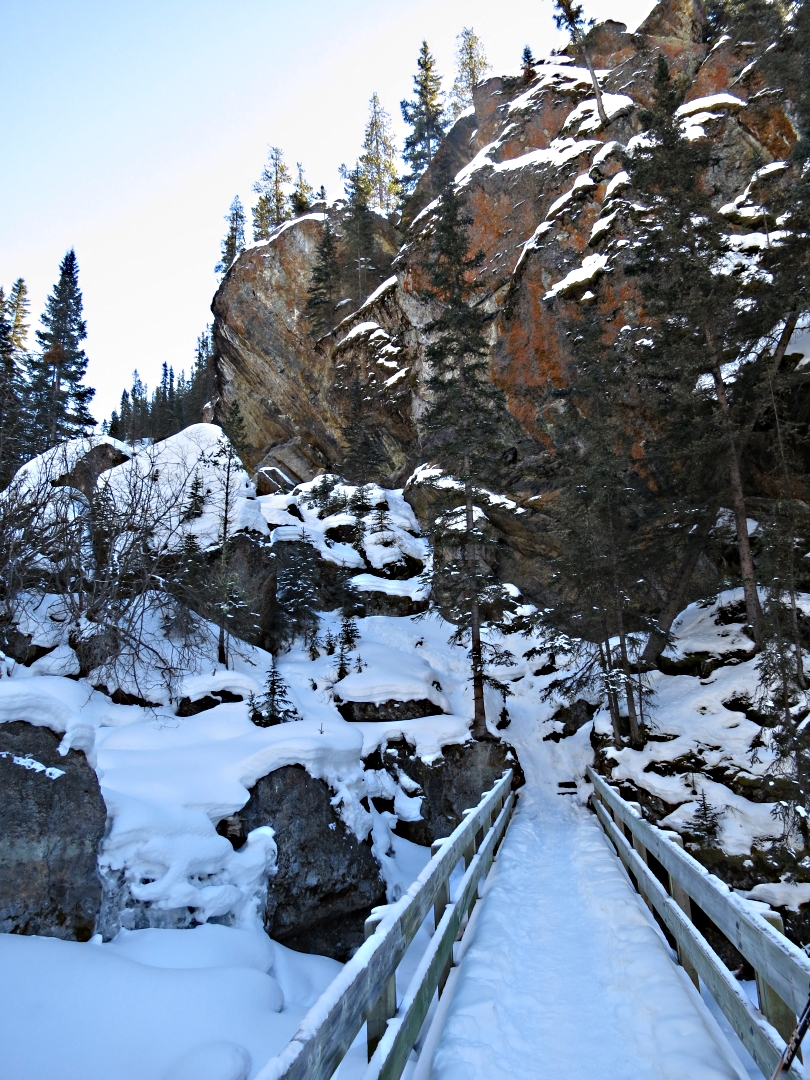
One difference from previous occasions is that I have always started from Lefteris’s Kafeneion at the lower end of Horio, the old village above the harbour. The house which I’m in this year is much higher up in the village and it went against the grain to walk down only to climb back up in a different set of alleyways. For those who don’t know it, Horio is a maze of narrow alleys with only a few places which cars can reach. The house is 10 minutes walk from the nearest taxi drop-off point. The network of interconnecting paths is so complex that it has not been mapped nor is it likely to be.
In all that tangle of alleyways I reckoned that there must be a way of reaching where I wanted to be without losing too much height. Just behind the house is a church which would be a good starting point as churches which are actively used have a network of paths leading to them. This was very obviously such a church as its bells clang regularly at weekends making your brain vibrate in your skull.
The short alley which the house is in, barely shoulder-width at the top, took me up to the church in less than a minute and from there I followed a meandering route with minimal change of height, mostly between derelict buildings, which brought me out to a point I recognised. (coming in from the left of the now closed shop shown in photograph 11 of Walk 1 ‘To Viewpoint above Horio’ if you look at the walking guide.)

The church towering behind the house
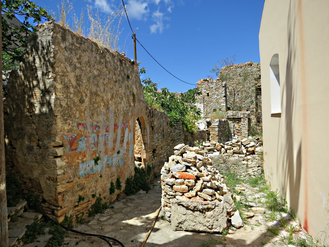
One of he alleys between derelict buildings

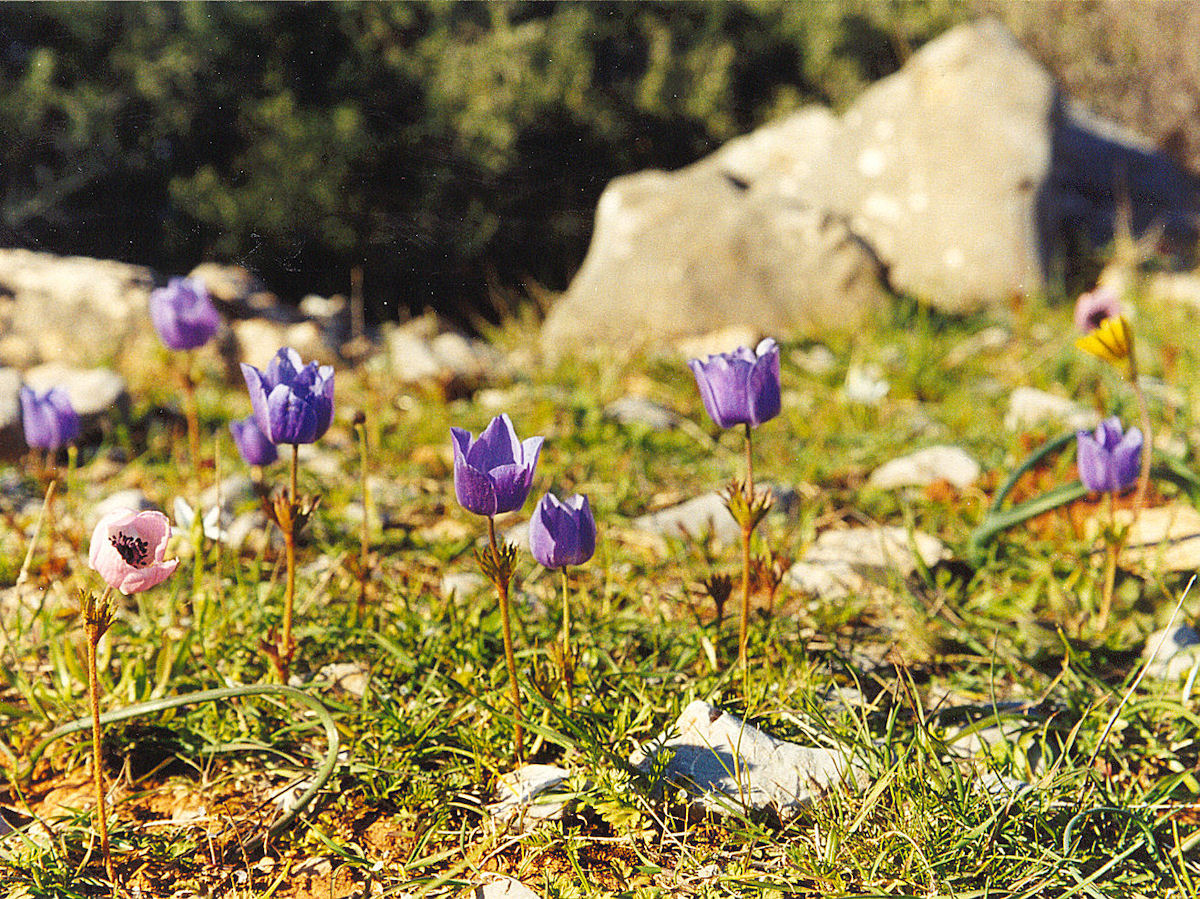
At this time of year even derelict corners are colourful
From there the route was familiar. First continuing upwards out of the village to what is probably one of the best viewpoints on Symi looking over the iconic harbour and down the valley to Pedi Bay with the mountains of western Turkey sharply defined, the width of the Bristol Channel away. Through a ramshackle gate and onto the open mountain on a rocky kalderimi bordered by great clumps of oregano scenting the air and soon to be flavouring my meals. On passed the tiny chapel of Agios Paraskevi and an ‘improved’ section of path to cross the tarmac road running the spine of the island.
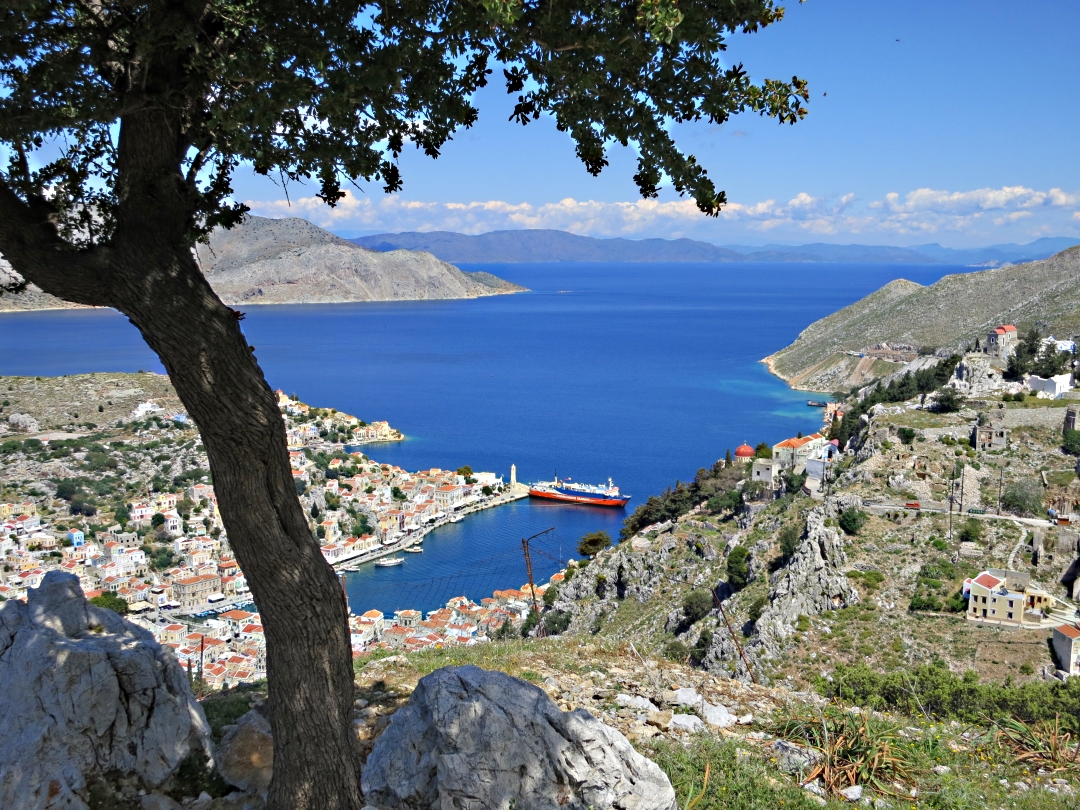
Looking down to the main harbour

Looking down he valley to Pedi Bay
On the other side of the road reach the ridge-top at 320 metres and the hamlet of Ksissos, enlarged but not enhanced by building in recent years, is soon passed and then onto another rocky path flanking high above the Vasilios Gorge, this time with clumps of wild sage.

Rocky path and sage
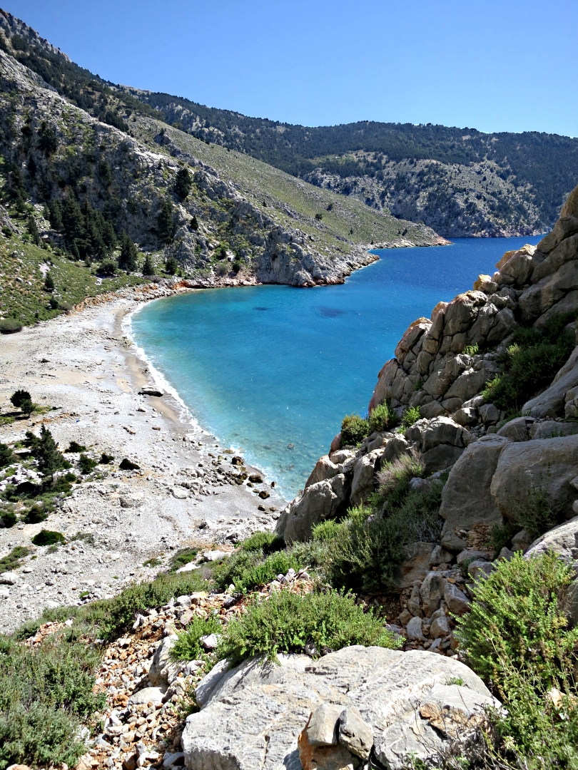
After half an hour or so Lapathos Bay comes into view far below at the end of the gorge and the path begins to descend not to the beach but to the top of the cliffs on the west side of the island.
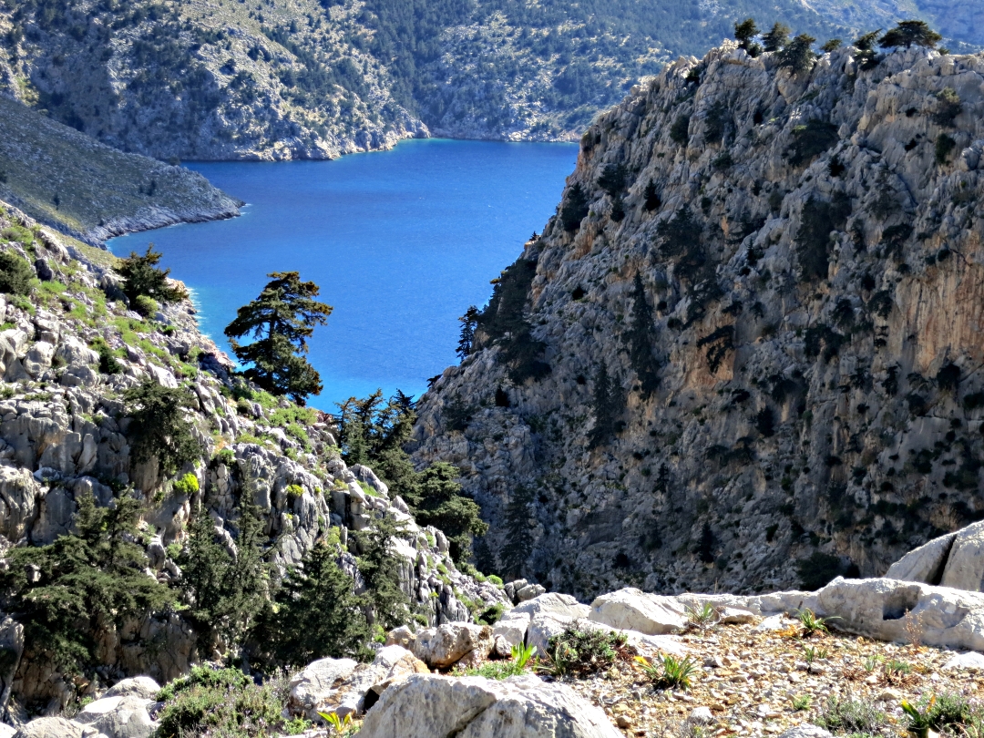
The end of the gorge and Lapathos Bay
Below the cliff-top path the chapel of Agios Vasilios sits perched on the edge of a vertical drop, well worth a visit not for the splendour of its frescoes or iconography but for its simplicity and peaceful setting.
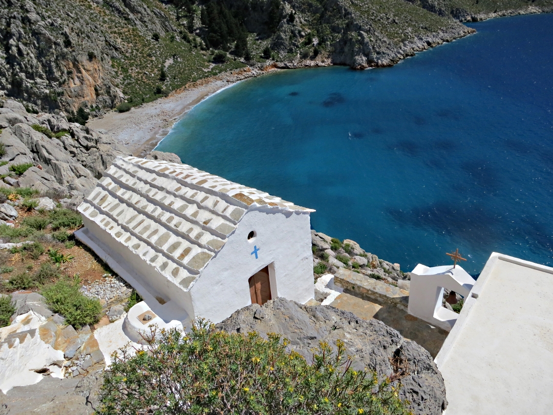
Lapathos beach far below Agios Vasilios

The bell
A steep climb back up to the now very narrow path between sloping slabs of rock and then the almost precipitous descent down to the floor of the gorge and the beach. The most dramatic and interesting part of a dramatic and interesting walk. I didn’t hurry, it took 2 hours each way.
I enjoyed every minute of the journey as well as the destination.

The steps from Agios Vasilios back up to the cliff-top path

The narrow cliff-top path
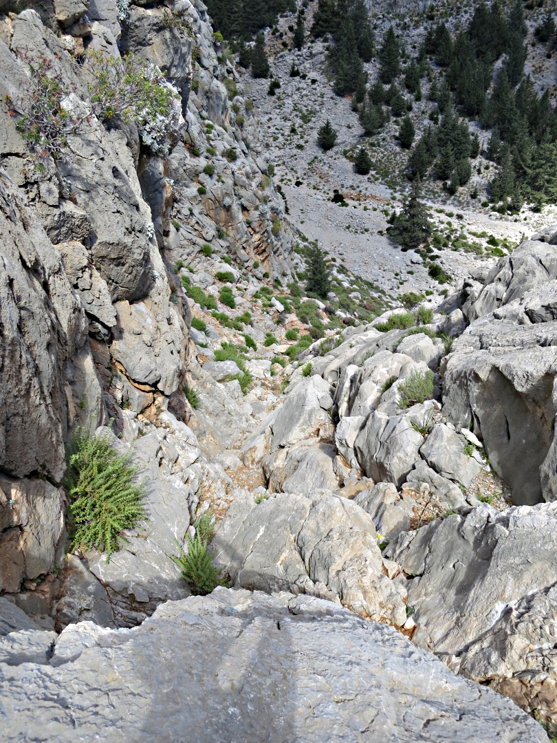
…. drops near-vertically down to the floor of the gorge
half way down the rock gives way to steep, loose stones
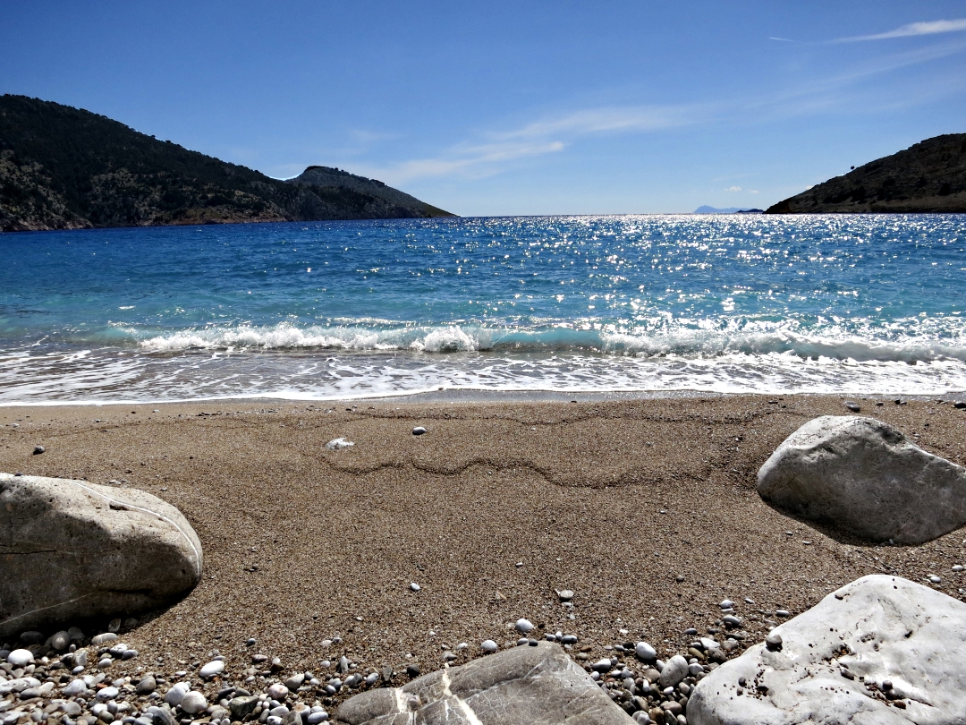
The peace and calm of the beach
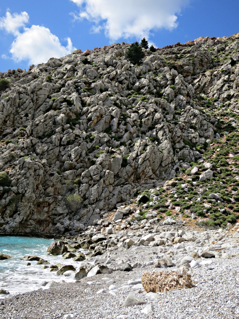
Looking towards the climb back up to the top
If you come to Symi and want to do the walk up to the Viewpoint or onwards to Agios Vasilios take a look at the following. They are a little out of date now, one of the things I hope to do while I’m here is to update them.
Walk 1 To the Viewpoint above Horio
Symi walk 1- Viewpoint
Notes:
1 ‘The ‘Glaros’ taverna in photo 2 is now called the ‘Village Cafe’ and the oval painted sign has been replaced by a rectangular wooden one.
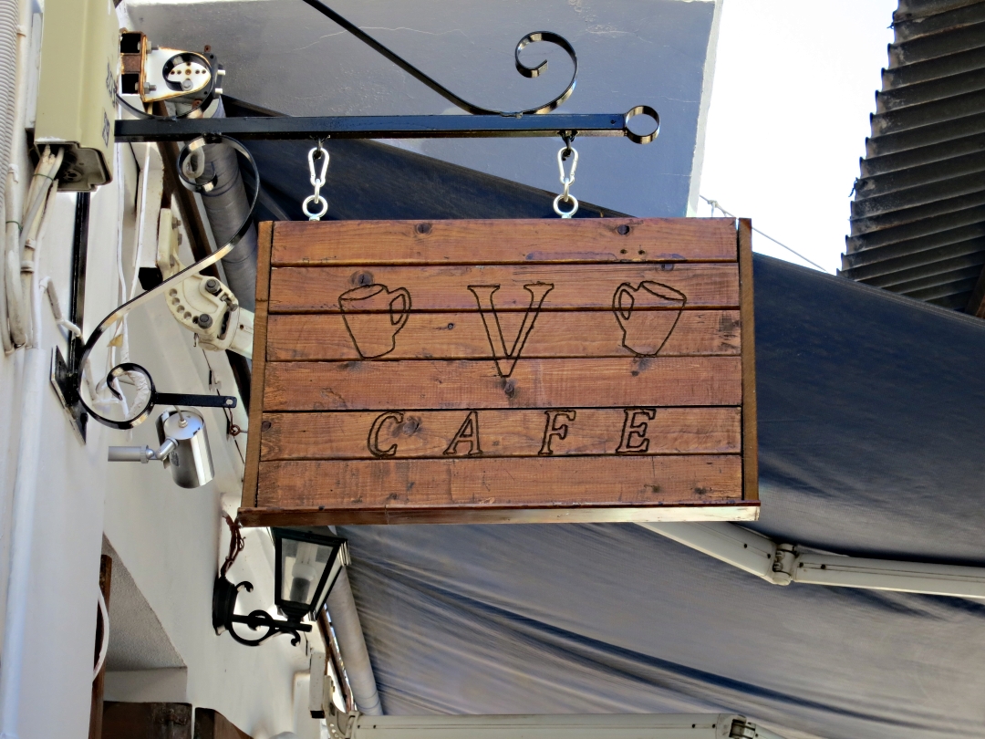
New name, new sign
2 The end of the alley in photo 10 is now a pair of new stone-built houses not a blank wall with a door
Walk 2 To Agios Vasilios and Lapathos Beach
Symi walk 2 Ag Vasilios
x