When I was young, summer holidays were a week at my grandparents’ in a small mining village in rural Carmarthenshire. I took every opportunity to escape the boredom of sitting around the house and walk the mile or so up to my uncle’s farm. The farmhouse had no electricity, no gas, water was from a spring in the yard outside and the loo was a wooden hut perched over a ditch at the end of the orchard. There was no road access, the milk churns were taken by horse and cart to the wooden platform at the roadside to be picked up by lorry each day. The bread was freshly made and the deliciously salty butter was churned on the stone worktop in the larder. We had homemade jam on fresh-baked scones in the afternoon. Basic. Idyllic.
At the time I simply enjoyed it. It was only much later that I realised how privileged I had been to have a glimpse into the past, how rural folk used to live.
Recognising how important it is for society to remember its past, the Welsh Folk Museum at St Fagans, 15 minutes from where I lived in Cardiff, was established in 1947. In the words of the introduction on its website, it is “part of a Scandinavian-inspired movement, concerned with collecting and preserving examples of a disappearing, primarily rural, way of life …….. that had been in existence since the Middle Ages”. The museum is not a collection of artefacts but of buildings – farmhouses, bakeries, shops, dovecots, pigsties – all dismantled brick by brick in their original location and moved to the 104 acre site. It is a record of how ordinary local folk lived rather than the grand castles and fortifications, mostly built by Roman and then English invaders, for which Wales is better known.
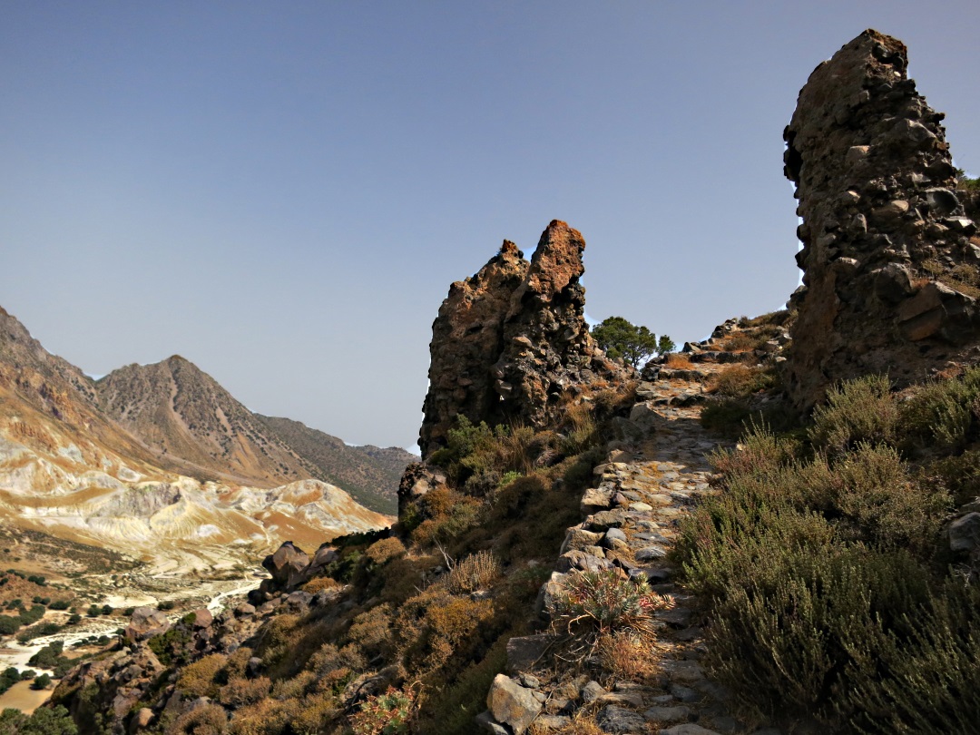
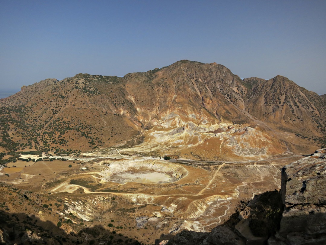
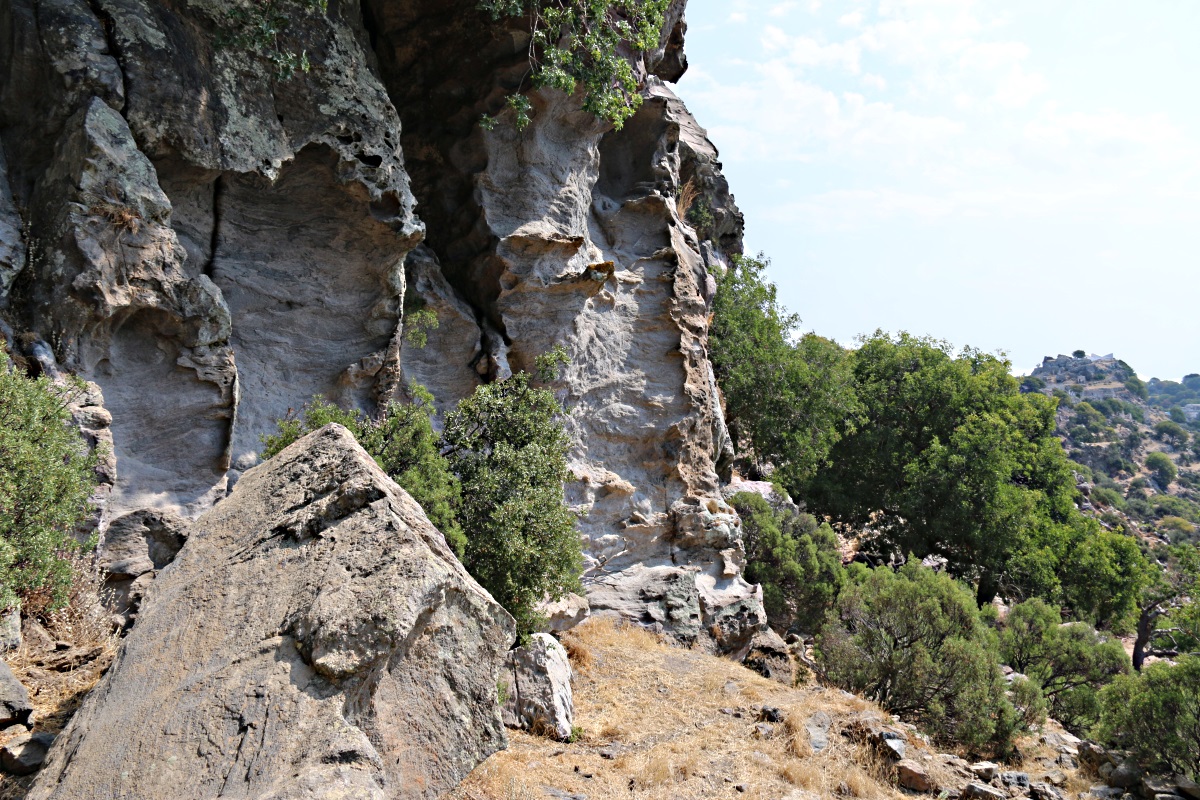
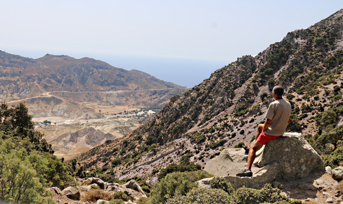
This interest in how people lived years ago has stayed with me and, along with the active craters in the main caldera and the dramatic volcanic rocks, is part of the reason why I continue to find Nisyros fascinating. There are old buildings, ‘heritage’, wherever you go. Indeed, there is so much to see, despite the ravages of time and volcanic eruptions, that as well as being known as ‘The Volcano’ it deserves the title ‘Heritage Island’ though it is not marketed as such. At the harbour in Mandraki day-trippers from Kos get on the bus to the edge of the main crater, they may opt for a more extended tour taking in the caldera-rim villages of Emborios and Nikia, or even trek up the kalderimi to the immense Paleocastro, but trek into the mountains and the true scale of past settlement becomes apparent.
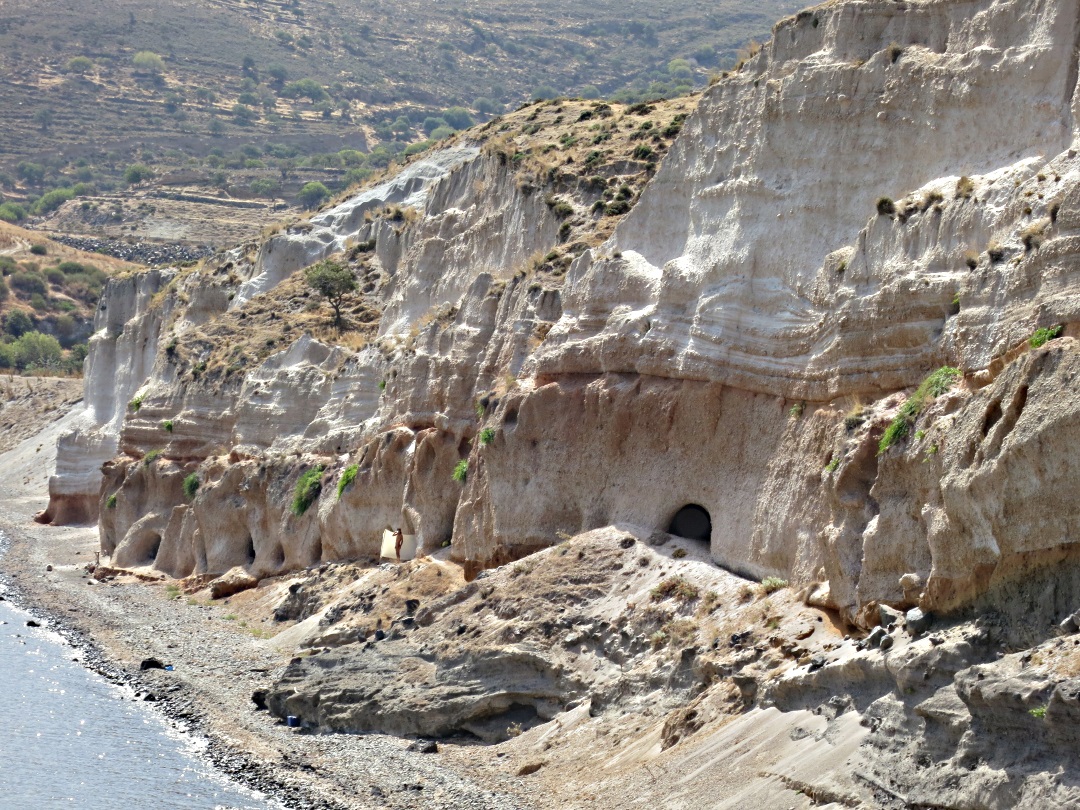
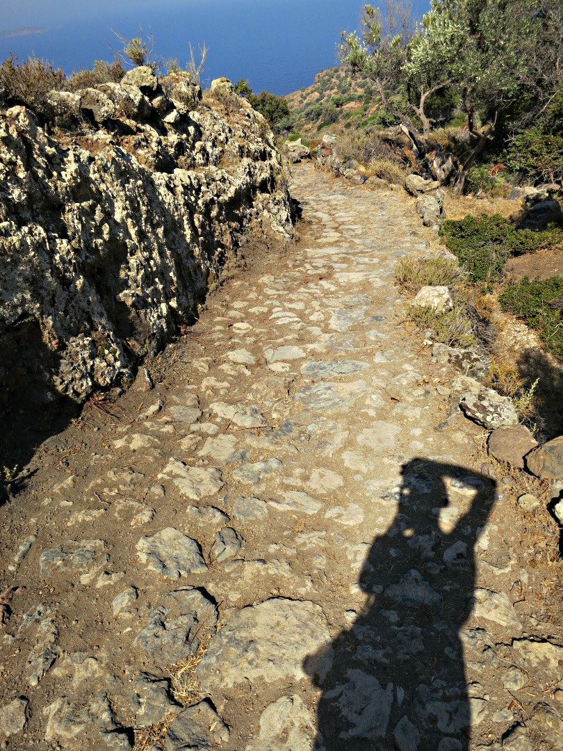
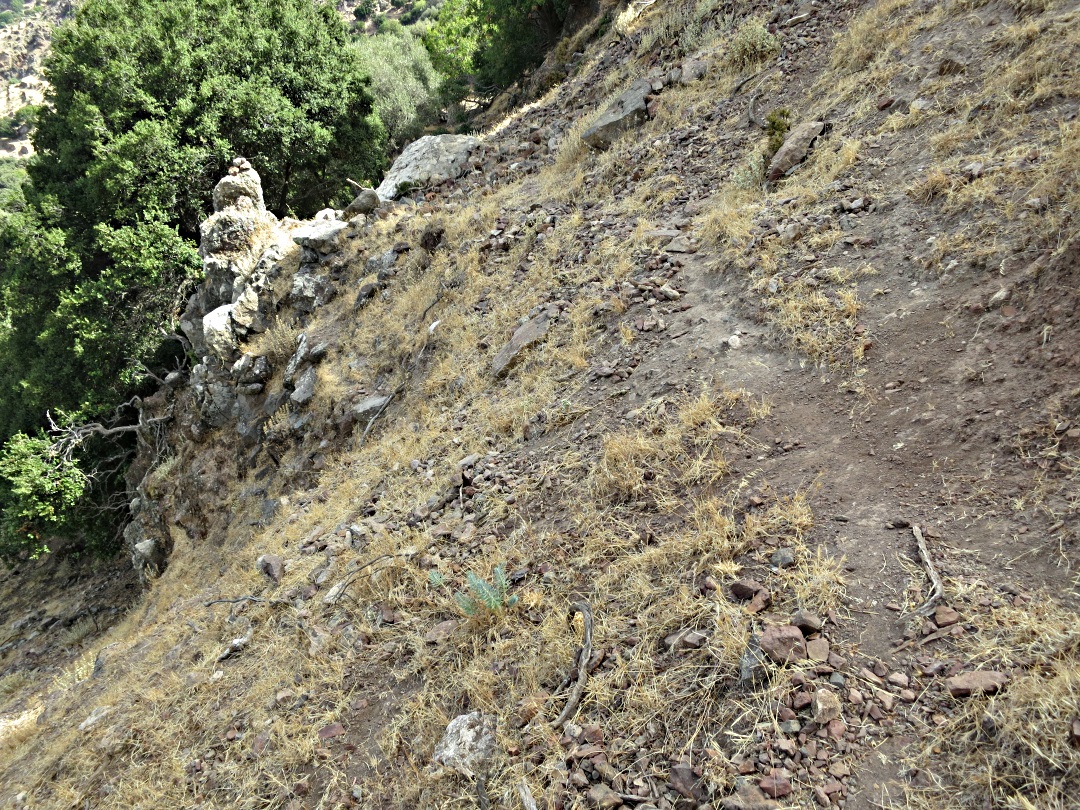
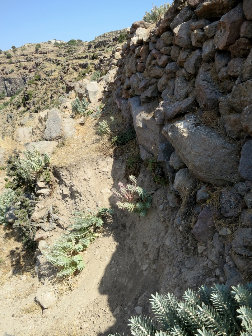
The first and most obvious indication is the extent of agricultural terraces climbing steeply to the tops of mountains on all but the most precipitous and rockiest of slopes, taking every possible advantage of the richness of volcanic soil. The tall, narrow terraces would have, indeed could only have, been worked by hand, triggering the thought “how many people did it take to work this vast area and where did they live?”

Just one section of mountainside with high, narrow agricultural terraces marching upwards
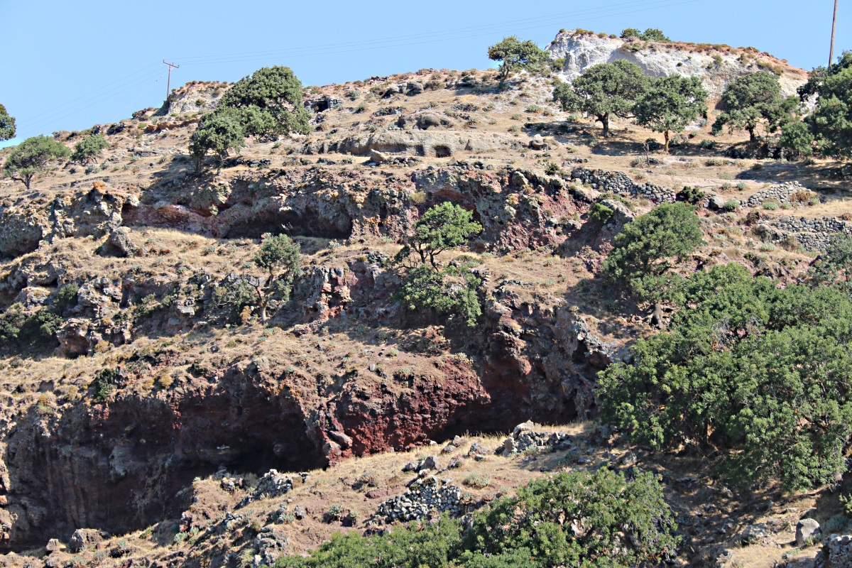
Even if you only stay on the trails which cross-cross the island the ubiquity of stone-built dwellings soon becomes clear, far greater in number and more widely distributed than on either Symi or Tilos, the other two nearby Dodecanese islands with which I’m most familiar. On those islands the abandoned dwellings of the past are grouped in small villages such as Mikro Horio and Ghera on Tilos and Ghria on Symi.
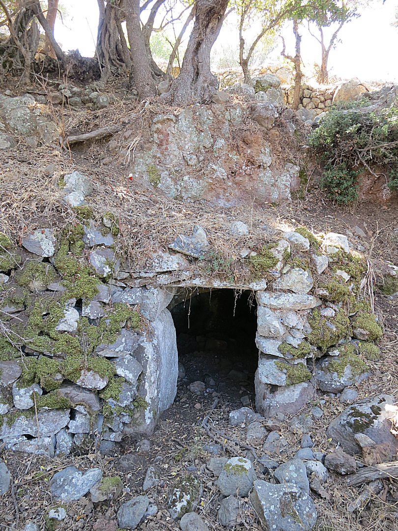
On Nisyros many houses are built underneath the terraces, often the only indication a doorway set in the stone terrace walls. The roof of many of them is simply part of the farmed land, others have a threshing circle on top. A common pattern is for a shallow cave or rocky overhang to be walled up at the front and then in subsequent years for a barrel-arched dwelling to be added. In some cases yet another would be built onto the front of that.

While dropping down the paved and recently maintained kalderimi from Emborios to the caldera floor, a stone cistern-top and carved stone bowl indicate nearby houses

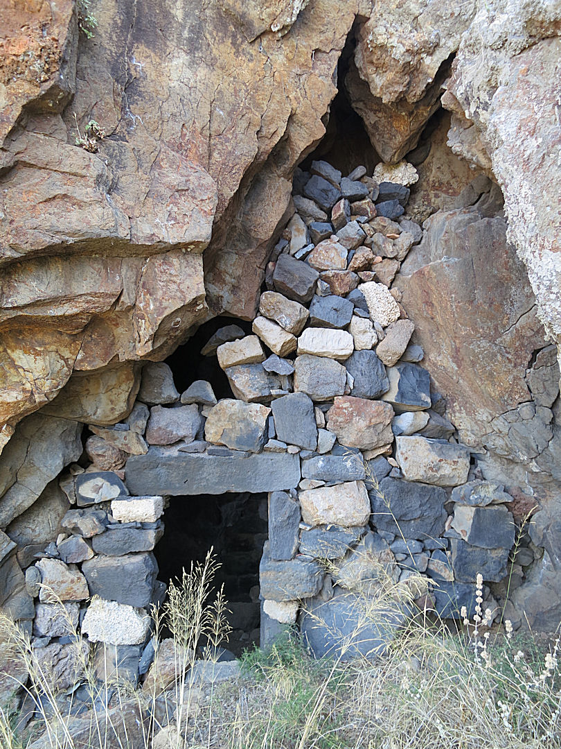
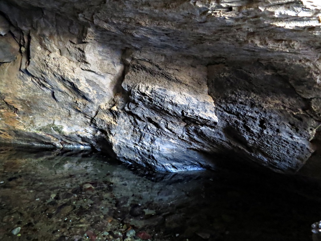
A cave in the rock under the Paleocastro walled up at the front.

Inside, pieces of dressed and carved stone, things of value being hidden

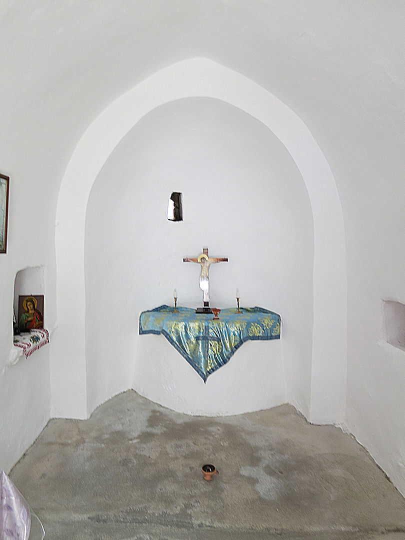
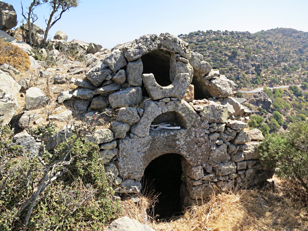
A family church. The old dwelling alongside has been long abandoned but the church is still painted regularly outside

… and inside is beautifully kept with a simple altar

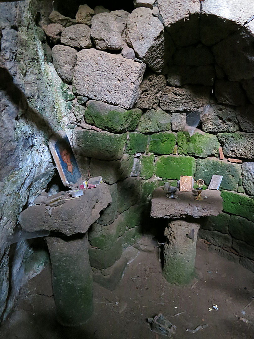
… and a niche with artefacts, including a half-bottle of wine

A single dwelling with a gated enclosure. I bet you can’t buy those hinges and catches in B&Q!!

At the top of the col between the main caldera and the Evangelistra monastery, climb over unstable rocks to three dwellings almost completely hidden and at the back is a small ‘chapel’ with a shard of sculpted marble on a small altar.

Opening in the wall of a terrace barely a metre high

….. inside is a small cave dwelling
One dwelling I found went back three ‘rooms’ each about 4-5 metres long including the cave at the back. The cave had old agricultural implements scattered around including two hand-ploughs, one with a metal tip for greater effectiveness. To the side of the middle room was a tiny chapel, whitewashed around the door, as is the custom, with a small altar inside. The room at the front was a ‘kazanario’, a still for producing the local hooch. During the Italian occupation local men used to meet in the kazanaria where they could discuss matters more freely.

Hand-ploughs in the cave at the back

The ‘chapel’ with the small altar in the middle room

Not the one in this dwelling, but another example of a ‘kazanario’
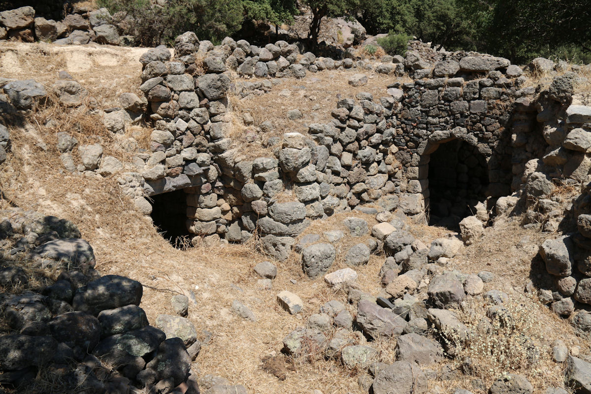
There are hundreds, probably thousands, of these dwellings, some low and very simple single rooms, others larger and grander, the biggest with nearly three metres of headroom in the centre. They have survived because they are stone built using barrel-arch technique which has enabled them to withstand earth tremors and volcanic eruptions. Many of them are just single dwellings underneath a terrace or built into the rocks but in places a few are grouped together within a stone walled enclosure clustered around the small opening of a communal cistern, stone basins and threshing circle. Go off the trails and the huge number of these houses becomes astonishingly clear, indicating a population once far in excess of the current 1,000.

One of the small groups of houses

The entrance to one, built using large in-situ rocks

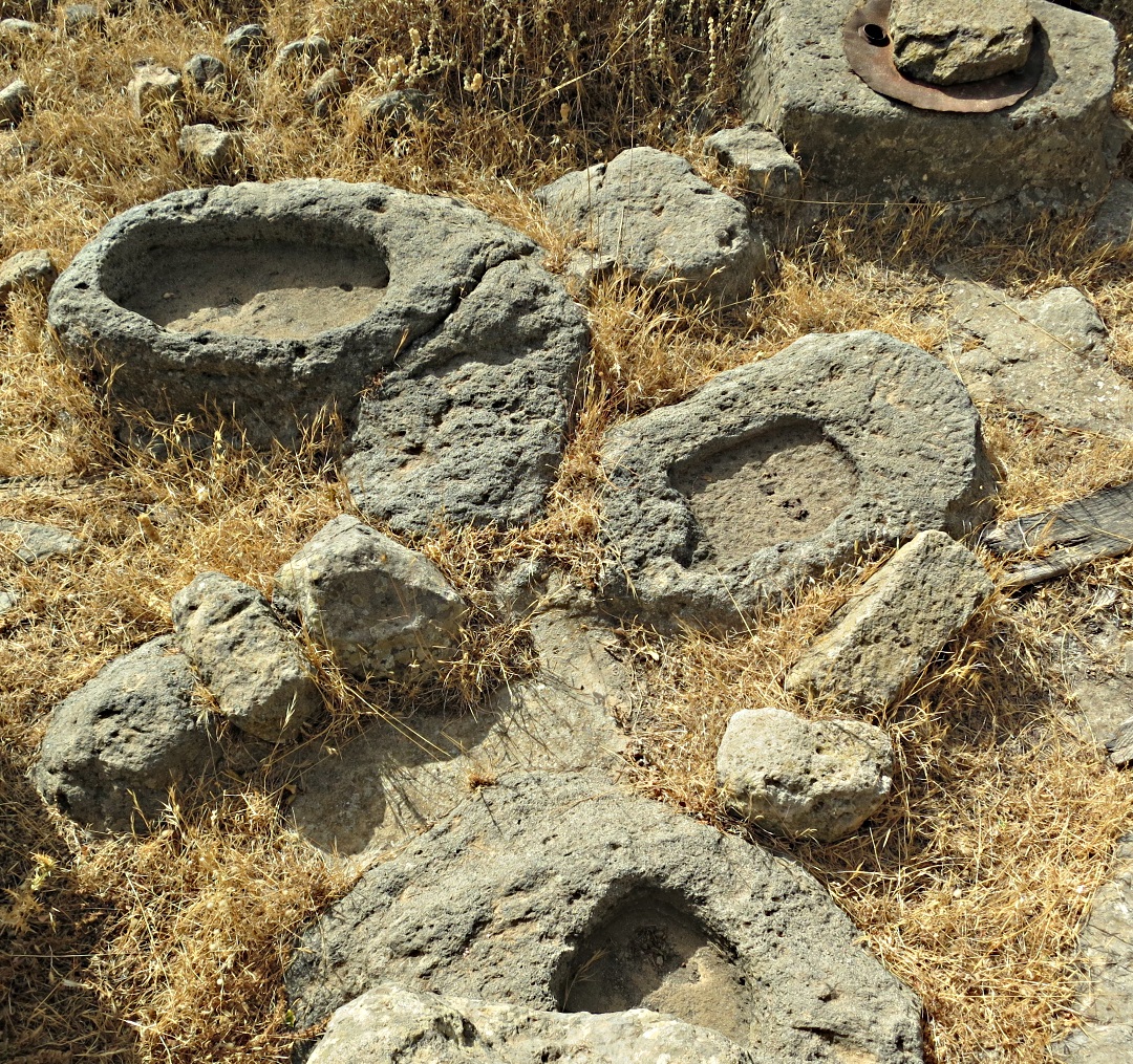
A scatter of carved stone bowls and the top of a cistern alongside.

Looking down towards another small cluster of dwellings built in among rocks

An enclosure with stone bowls and the top of a cistern, threshing circle on the roof.
In addition to the very many secular dwellings there are also small monastic complexes notably Siones and Armas. Though considerably smaller than the ‘fortress’ monasteries such as Megalos Sortiris, Panagia Panaiidi and Roukouniotis on Symi, they are contained within high stone walls in contrast with the low walls of the purely agricultural farmsteads. Inside both Siones and Armas an original cave has been supplemented by family accommodation and a chapel.

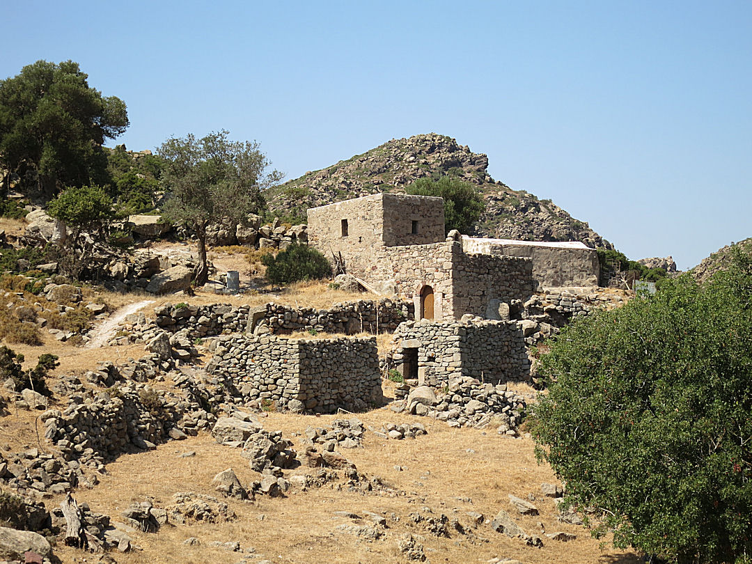
Approaching the walled monastic complex of Siones

Inside the avli (small inner courtyard)

Three entrances: bottom right the original cave dwelling; bottom left the ‘downstairs’ room; a larger family room built over the top

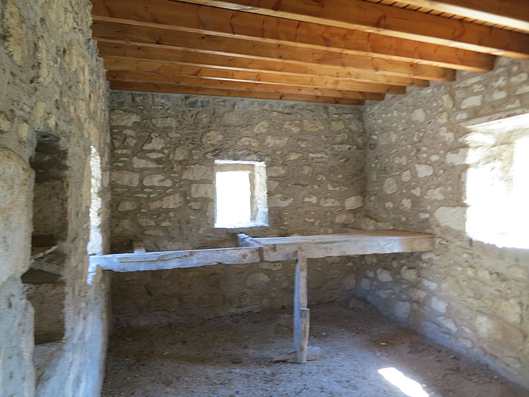
Inside the upstairs family room looking towards the fireplace. Roof recently replaced to stop further weather damage in winter rains. Note the stones for an olive press on the floor

…. and looking the other way, the roof timbers may be new, the walls recently pointed but the sleeping platform is original

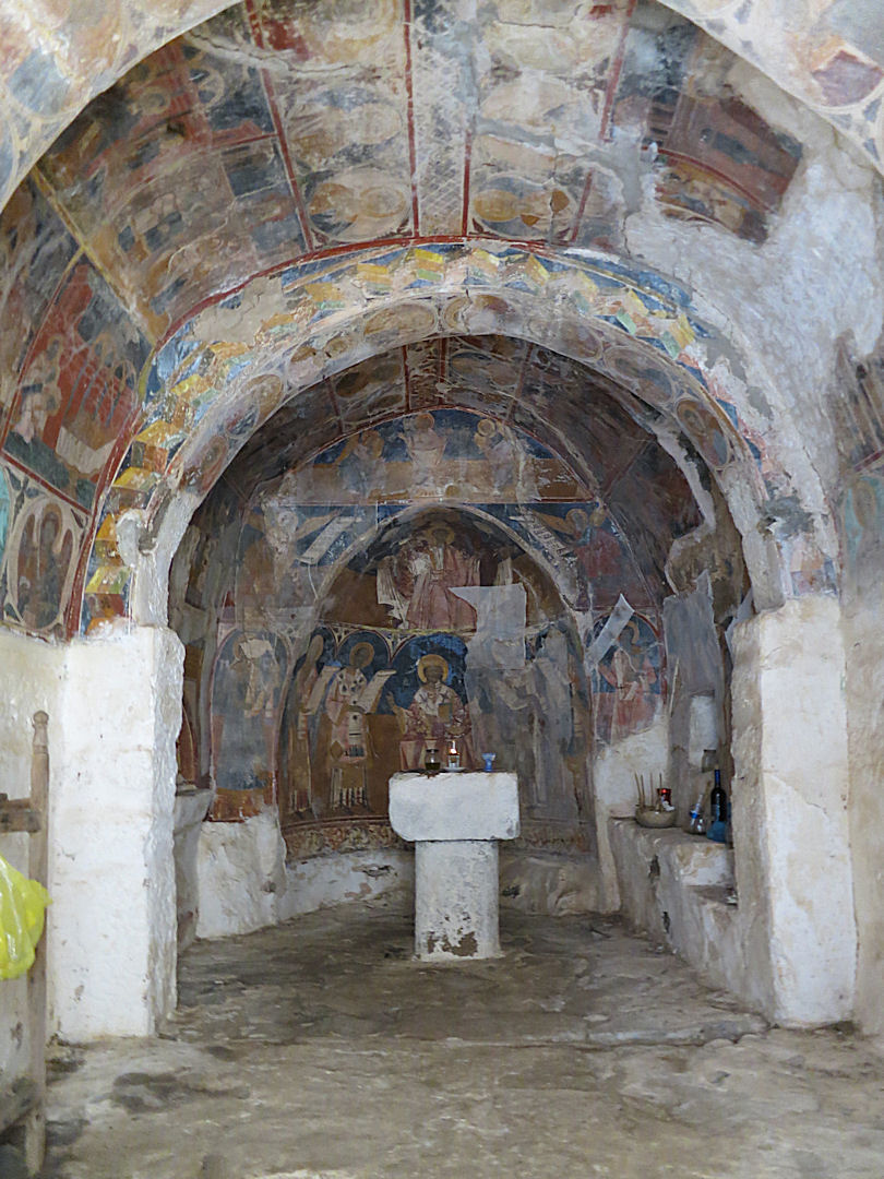
The Siones chapel, walls and ceiling covered in frescoes. Further damage has been prevented by repair to the arched roof.

Terracotta storage jars in the cave underneath the Armas monastery complex
The settlement in the high level and well hidden dormant caldera at Nifios, probably dating back to prehistoric Minoan times, is clustered into the rocks at the edge of the ’valley’ floor. As well as the chapel built into the main complex of half a dozen houses, hidden part way along the valley side there is a subterranean chapel with a stone pillar. In a crag opposite slots cut for roof timbers and a little further along a stone-paved collecting area for a cistern. At one time this would have been a self-contained and self-sustaining community.

The ‘Horns of Consecration’ at the entrance to the settlement at Nifios which indicate its Minoan origin

The main cluster of buildings set into the volcanic rocks

…. and seen from the crags behind

The porched entrance to one of the houses

Barrel-arched construction with a fireplace in the corner and pestle and mortar beside it

…. detail

Old agricultural implements abandoned inside

The entrance to the subterranean church further along the caldera

…. with its central pillar carved out of the rock

…. and two altars

The slots cut for hefty roof timbers in the crag opposite
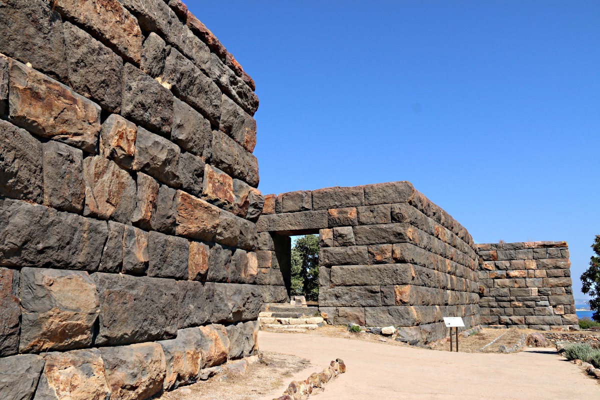
There are other small groups of dwellings around other dormant calderas on the island including Kato Laki and the two between Siones and Evangelistra as well as in the Argos area sloping down to the sea. But most impressive is the main caldera. The ‘Lakki Plain’ between the still active craters at the western end of the caldera and the steep, narrow terraces climbing up to Emborios at the eastern end, there are large areas of level agricultural land. Not unexpectedly settlement here is more extensive with clear evidence of a well organised society.

Semi-detached under-terrace houses. The stonework on the front of the one on the left has partly collapse showing the depth of the soil above which is part of the agricultural terrace.

Looking from the houses over the broad, level terraces of the caldera floor with a threshing circle in the foreground and a large stone bowl beyond

The large bowl of black volcanic rock, the top of the cistern alongside and a prized shard of marble bowl.
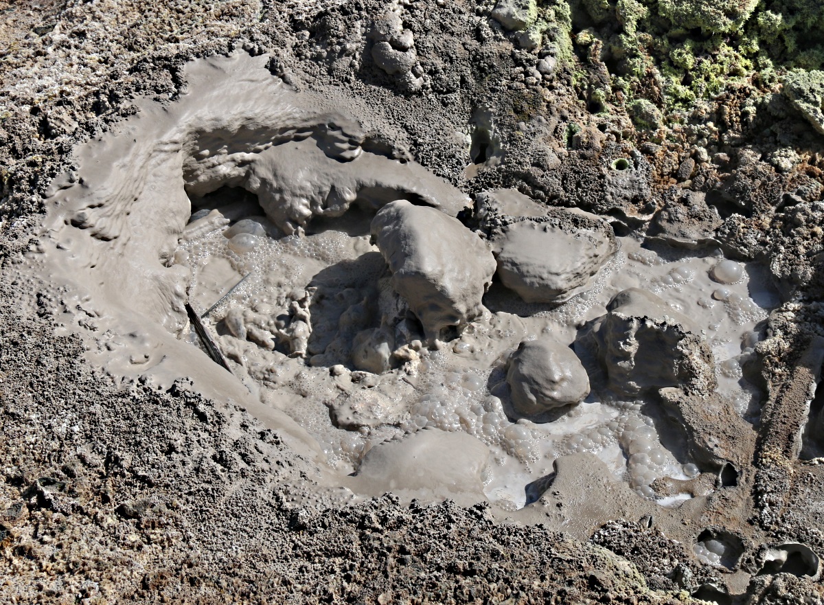
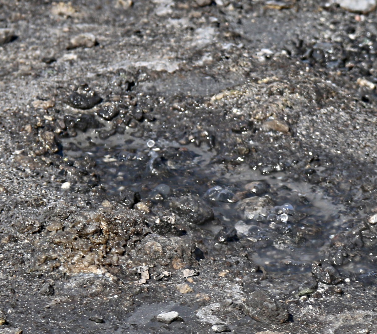
There are other old structures scattered around the island too. At Palloi on the coast are the remains of a subterranean church, the remnants of a huge terracotta roof overhead. Behind it is a thermal spring used in Roman times and to which Hippocrates (he of the oath) sent patients from his medical practice and teaching centre on Kos for a cure.

The underground church with the remnant of the arched terracotta roof and the cave with the thermal spring in the background

The thermal spring
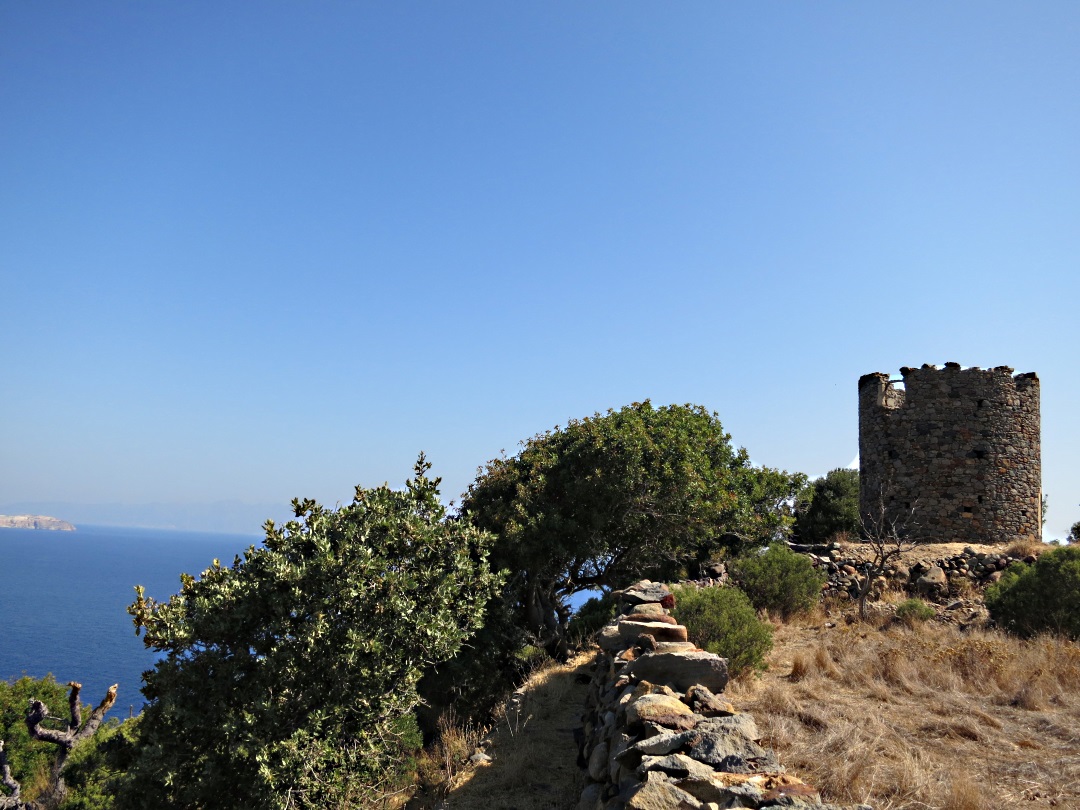
There are a few derelict windmills on wind-catching ridges. These are fewer in number than might be expected from the evident size of the historical population, certainly significantly fewer than on Symi or at Olymbos on Karpathos where they line a ridge in large numbers. My guess is that this is a reflection of the fact that though the population was large it was scattered around the terraced fields in the mountains rather than clustered into a larger settlements as on other islands.

Approaching the windmill on the hill overlooking Mandraki

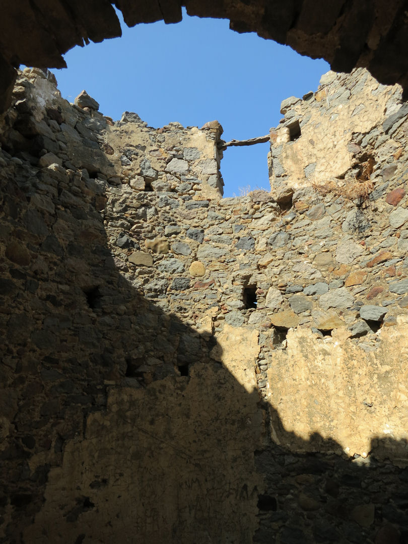
Full frontal

…. and view through the entrance
I’m no expert on the history of Greek islands but with a little knowledge of how things used to be in rural Wales, the large number of extant buildings on Nisyros feeds the imagination. Sit in the sunshine in the ‘porch’ at the entrance to a low roofed cave-dwelling fronted by a stone wall, or in the enclosure around a group of three or four houses, or on the grand ‘throne’ on the floor of the main caldera and the past whispers.

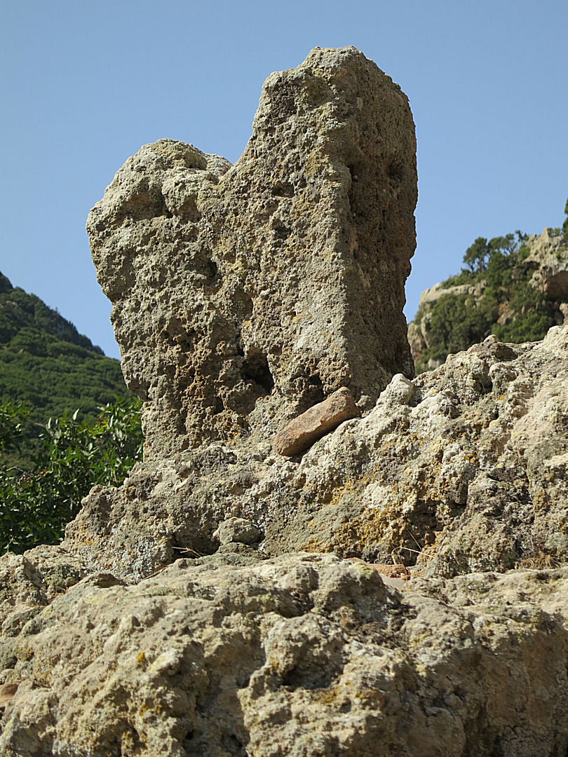
“Is this a banana I see before me?”
x


 x
x