
“What time do you call this?” Predictable response, given that I had arranged with friends to meet up for a pub lunch at 12.00 and arrived at 13.45.
The thing is, I had decided to walk. My ‘local’ is thirty minutes along the towpath of the Monmouthshire and Brecon Canal, very pleasant at any time of year. But we were meeting in Abergavenny and the walk was via the top of the mountain behind the house, north along the ridge before the steep drop down at the other end. Along the eastern edge of the Brecon Beacons National Park, the route is altogether about 14 miles and 4 – 4½ hours walking depending on conditions and how often I stop to take photos.
Simple maths: to arrive by 12.00 I would need to leave at 08.00. However, I find that eight in the morning is an uncomfortably early start for physical exercise especially on this walk as the first hour sees most of the height gain. Instead, I aimed to set out at nine which would get me to the pub at about 13.00 when the others would have finished their first pint, given up waiting for stragglers, and be ordering food. Didn’t quite work out.
After early cloud, the forecast was for the sun to break through. It didn’t. I knew the route would be very muddy. It was.

Anticipating deep mud I resorted to wearing gaiters as well as boots, clean when I left the house
The first hour sees me reach the ridge path at the 24 metre high Folly Tower, just over 300 metres ASL, and then on to the top of the 425 metre Mynydd Garn Wen, a route I walk often, know well. The stream at Coed Ithel, in spate a week ago, had subsided. The beech trees which overhang the path to the open mountain, though succumbing to autumn and carpeting the ground, hold their leaves longer than most, creating a golden brown tunnel. However, the vibrancy of autumn colouring was muted by the heavily overcast sky. As I reached the open mountain a buzzard whistled plaintively overhead, out of sight against the dark cloud. At the top, the views northwest to Pen y Fan and the core area of the Brecon Beacons, northeast to the Malverns, and south across the Bristol Channel were all lost in the greyness. Ahead to the north the ‘Foxhunter’ telecom masts where I was heading were just visible on the skyline.
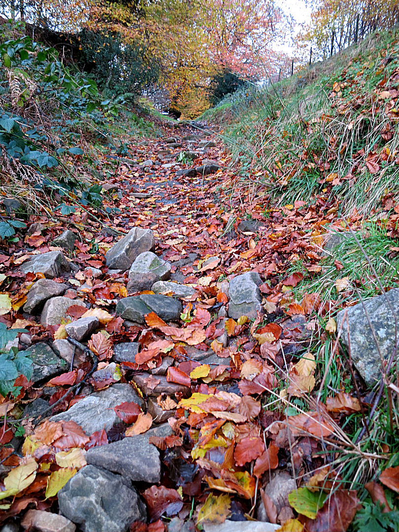
The path up to the open mountain

Looking north from the top of Mynydd Garn Wen, the Foxhunter masts just visible on the centre skyline

Looking south, Folly tower below on the left, the Bristol Channel disappears in the greyness, and England doesn’t exist
The next hour was gently undulating along the ridge top, mostly on firm if wet ground but in places mired where illegal off-road vehicles have cut through the thin soil and into the peat below. Ahead to the right, the dramatic and distinctively cusped ridgeback of the Skirrid, easternmost of the mountains in the Brecon Beacons National Park, rises out of the Vale of Usk, hazy in the poor visibility. The unusually warm but humid weather means that even at this height fungi are plentiful including small but edible waxcaps. The rough moorland grasses and juncus give a predominantly sepia colour at this time of year.

On the better soils on the ridge, the grass is green and fungi add colour

The Skirrid, hazy in the murk

Looking across the sepia-coloured grass on the high acid moorland, the Foxhunter masts just visible, the path zigzagging off to the left and then back right to avoid the valley

One of the areas where illegal off-road vehicles have cut though the peat and created mire
Ten minutes or so after passing the ‘cross-path’ where I sometimes turn east to drop down to the Goose and Cuckoo pub, sole survivor of the zeal of the Temperance campaigning Lady Llanover in the 19th Century, I reach the Llanover Road running from Blaenavon to the eponymous village and the half way stage. I was now 20 minutes adrift from my timing if I was to arrive in Abergavenny by 13.00.
Which was a shame because crossing the heather moorland to the Foxhunter car park at the edge of the Blorenge is always hard going, the ground very wet and boggy. I tried to step up the pace but without much success. The mountain north of the Llanover Road is rounded and the huge telecom masts at the Foxhunter car park are out of sight for much of the tiring pull up to the ridge which here runs east-west. For many years the path was completely lost in the heather but then it was strimmed and waymarked with wooden posts. The habitat at this altitude on thin soil over peat is very fragile and unfortunately because of increased use much of the path is now mired. Recent strimming has cut a wider swathe through the heather, possibly in an attempt to spread the foot traffic over a wider area though maybe as a firebreak because arson-bent vandals set fires in dry summers, competing to get the largest call-out of fire appliances..

Over my boots but in places the mire was half way up my calf

The level path along the east-west ridge towards the telecom masts

Getting closer to the masts
It was now 12.20 and the aim of reaching Abergavenny by 13.00 unachievable. I set myself a new target of 13.30, ambitious but possible. The car park is much used in the summer and the top of the 561 metre Blorenge is only 50 metres higher, a mere kilometre distant. The path has therefore been surfaced and much improved for those who come by car and want a simple stroll to enjoy the views. If I see anyone at all on this walk it is normally on this section of path but today I saw no-one. The good surface meant that I could stride out for a short time at least.

The improved path from the car park to the trig point on The Blorenge

At the top, looking north to The Sugar Loaf, The Skirrid just out of sight
From the trig point on the top the path deteriorates again, first over rocks and then through peaty bog but another 10 minutes and I’m standing on the edge of the north-facing bowl of the mountain, almost 500 metres of tightly packed contours, a near vertical drop, with spectacular views over Abergavenny and to the Sugar Loaf and Skirrid mountains. This edge is one of the best paragliding and hang gliding sites in Britain and the start of one of my longer paraglider flight – 30 kilometres to the northern outskirts of Cardiff. The drop is abrupt and stepping off underneath a glider can be daunting but it is easier than walking down the trodden footsteps sunk in the ground, steeper than a ladder, soft, slippery and collapsing after heavy rain.

Standing on the edge of the Blorenge bowl looking north over Abergavenny to the Skirrid
Toes scrunching into the front of my boots, I nostalged about similar mountains in Greece and the comfort of walking everywhere in sandals. Off the open mountain the descent continues through enclosed fields and then down through ancient beech woodland on an old tramway dating back to the industrial revolution. It finishes at a wharf on the Monmouthshire and Brecon Canal, at 84 metres ASL, exactly the same height as the bottom of my garden which it borders 12 miles to the South.
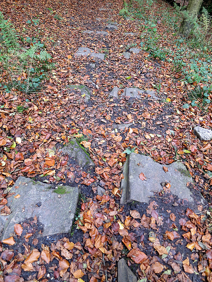
Stone sleepers which once carried the rails of the tramway
Together with a stream, the path then dives through a tunnel under the canal and the wharf-side house before getting back to civilisation and the final amble along roads to the centre of Abergavenny, a plate of cod and chips, a pint of beer …. and my mocking friends.

The tunnel underneath the house and the canal
x.
